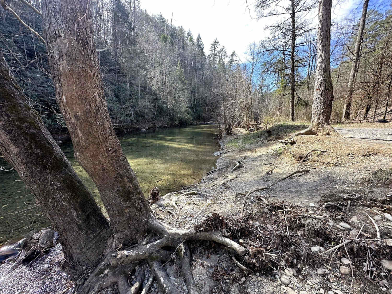
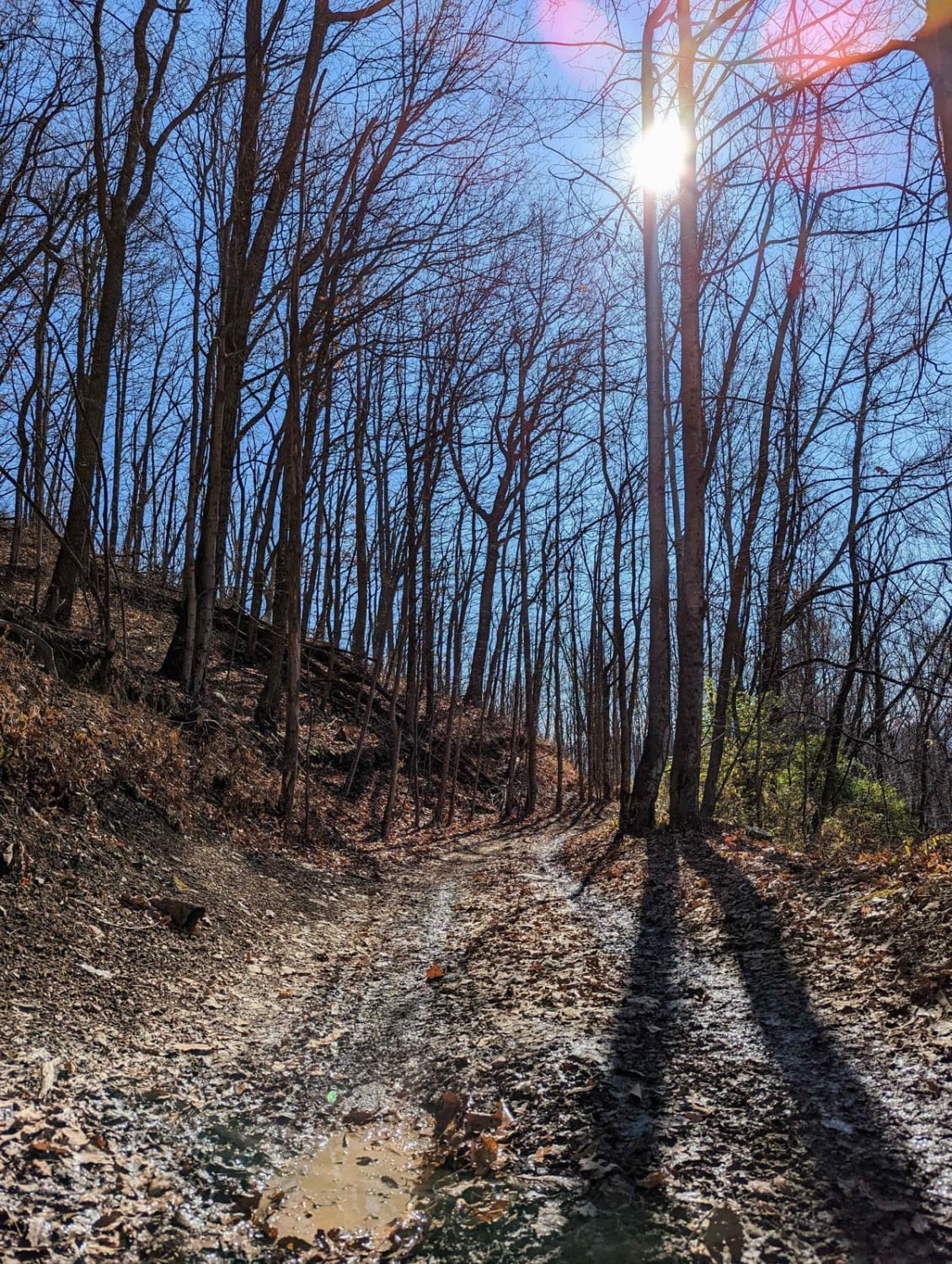
Citico Creek North
Total Miles
4.9
Technical Rating
Best Time
Spring
Trail Type
Full-Width Road
Accessible By
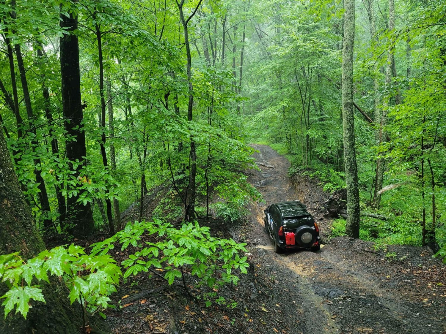
Trail Overview
This route is located in the Cherokee National Forest, following the banks of Citico Creek. The road is primarily a two-lane gravel path that occasionally narrows to one lane. It is an easy drive, suitable for any 2-wheel drive vehicle. The main hazards to be aware of are flash flooding, which is signposted, and the potential for a fallen tree across the road. This scenic drive, when taken from north to south, continues to the southern section, leading up to Indian Boundary Lake or the Cherohala Skyway. Several free campsites are scattered along the route, most of which feature fire rings and gravel parking areas. Camping is allowed only in designated campsites. Additionally, the Young Branch Campground is located on the northern section of the route. It requires a small fee, is first-come, first-served, and payment must be made onsite.
Photos of Citico Creek North

Difficulty
Road surface is a maintained gravel road without any difficult obstacles.
Status Reports

Popular Trails
Coalmont OHV Trail 2 Green
87-Poplar Creek
The onX Offroad Difference
onX Offroad combines trail photos, descriptions, difficulty ratings, width restrictions, seasonality, and more in a user-friendly interface. Available on all devices, with offline access and full compatibility with CarPlay and Android Auto. Discover what you’re missing today!