Fox Hollow Hill FSR 218
Total Miles
2.3
Technical Rating
Best Time
Spring, Summer, Fall, Winter
Trail Type
Full-Width Road
Accessible By
Trail Overview
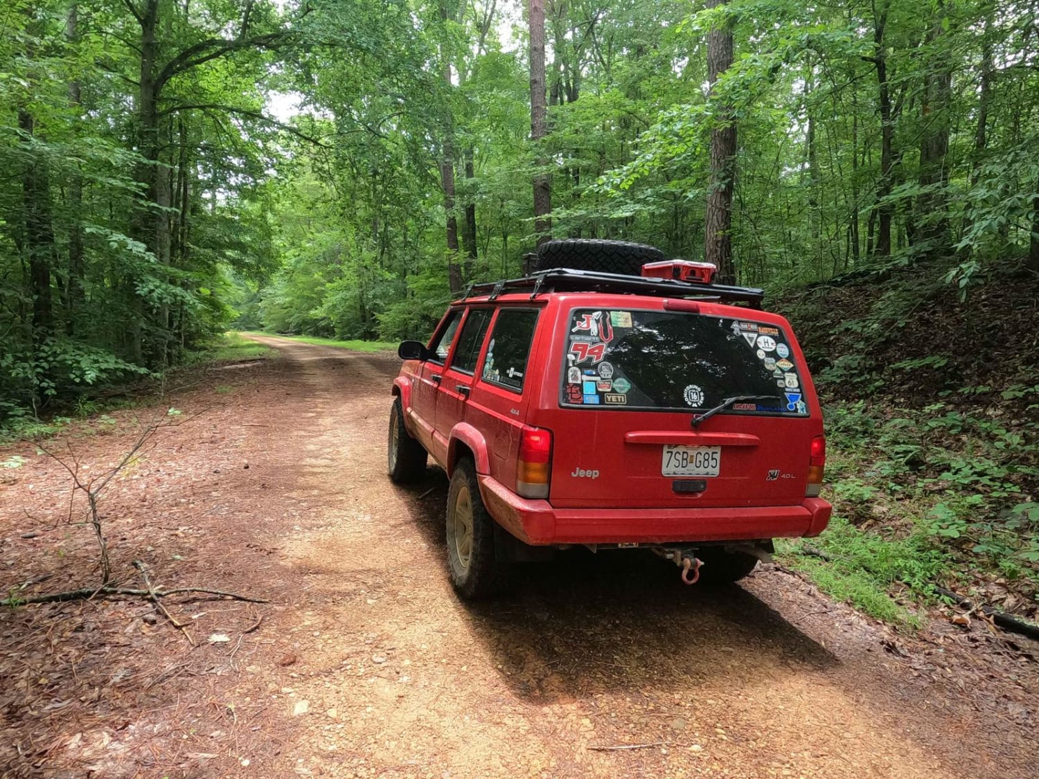
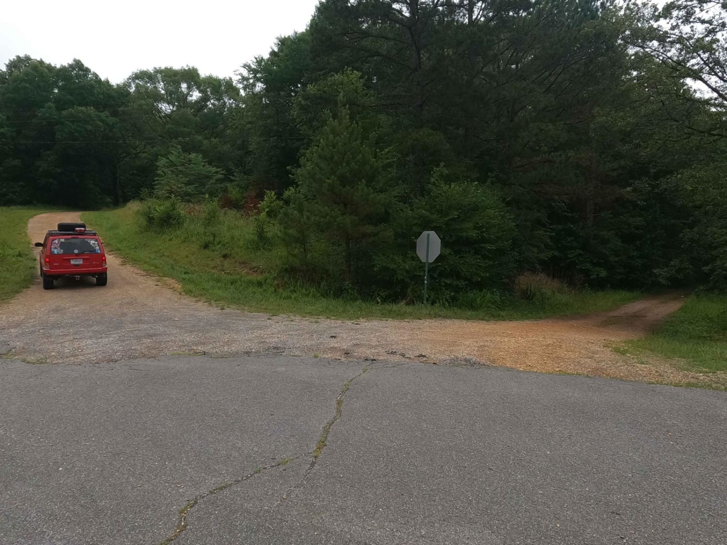
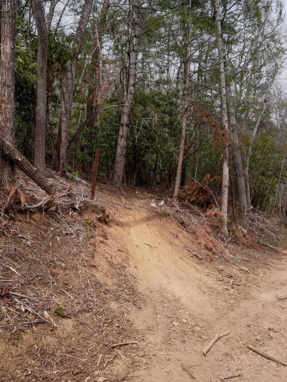
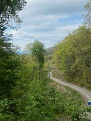
The Fox Hollow Hill FSR 218 is a gravel forestry road through the southern Tennessee section, Lake Barkley side, of Land Between the Lake National Recreation Area. This road features rolling hills and beautiful tree lines, with minimal water collection spots on the road surface and occasional mild soft spots. The road follows the Nolin Ridge leading you back to the Fox Hollow bay area based on Lake Barkley, at the beginning and end points of the road it meets with the Fox Hollow Bottoms FSR 219, to form a near seamless loop together, Fox Hollow Hill being the higher elevated ridge top road, being less wet and less challenging. Where the two roads meet at Fox Hollow Bay, there is a nice spot to park a vehicle and set up a primitive or Overland camp, at 36.59558, -87.91572.
Photos of Fox Hollow Hill FSR 218
Difficulty
The difficulty of the Fox Hollow Hill FSR 218 is just mild hills, a few wet soft spots, and gravel complications such as potholes, washboarding, and mounding. This trail is given a 1/10 for its simplicity.
Status Reports
Fox Hollow Hill FSR 218 can be accessed by the following ride types:
- High-Clearance 4x4
- SUV
Fox Hollow Hill FSR 218 Map
Popular Trails
87-Poplar Creek
FR126 Waucheesi Bald

64 - Patrick's Pond
The onX Offroad Difference
onX Offroad combines trail photos, descriptions, difficulty ratings, width restrictions, seasonality, and more in a user-friendly interface. Available on all devices, with offline access and full compatibility with CarPlay and Android Auto. Discover what you’re missing today!
