G21 - Skinned Ash Creek
Total Miles
0.6
Technical Rating
Best Time
Spring, Summer, Fall, Winter
Trail Type
Full-Width Road
Accessible By
Trail Overview
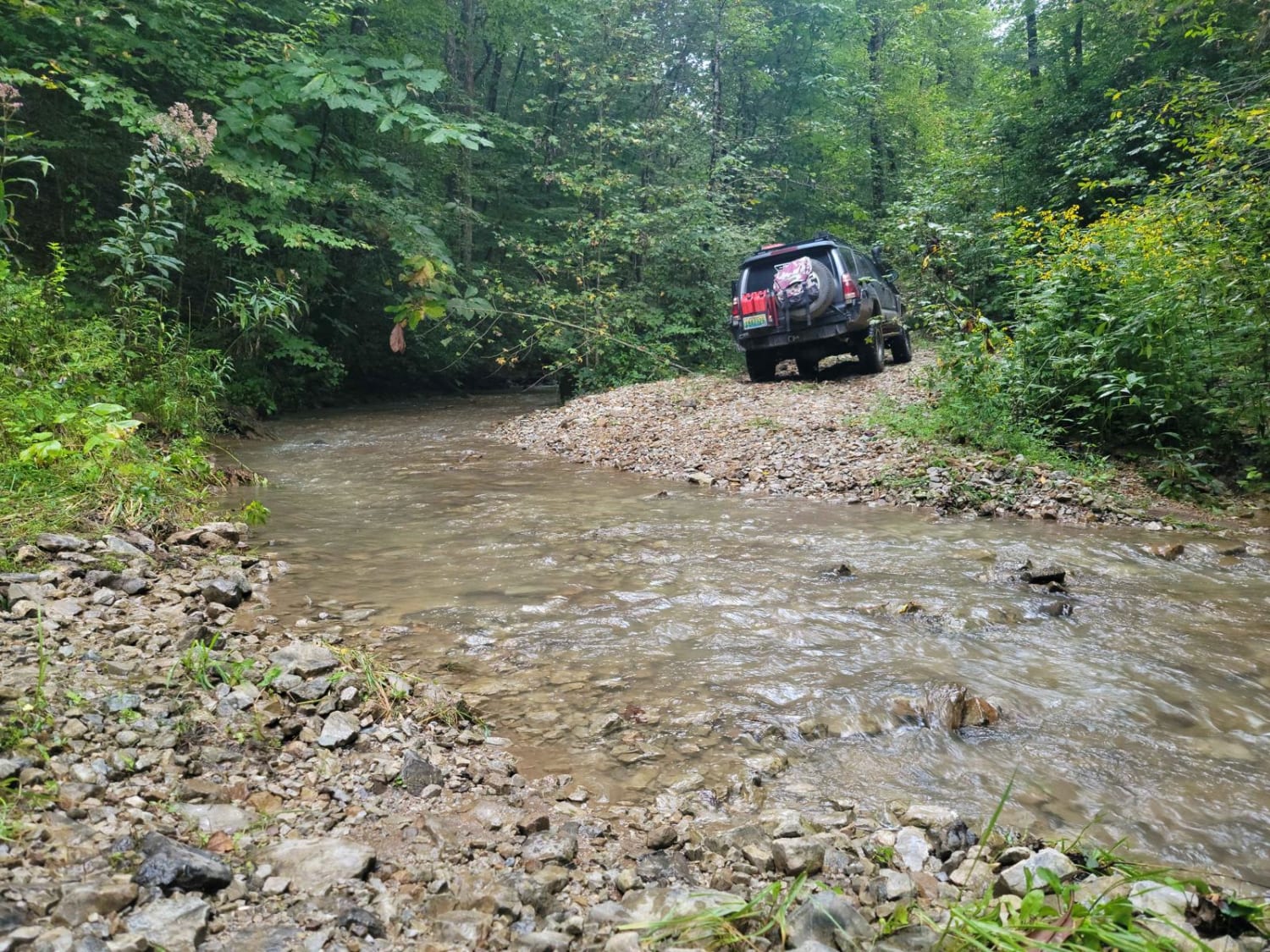
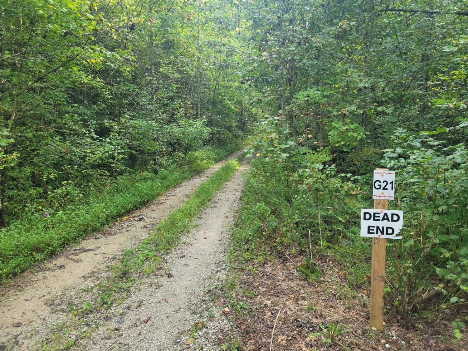
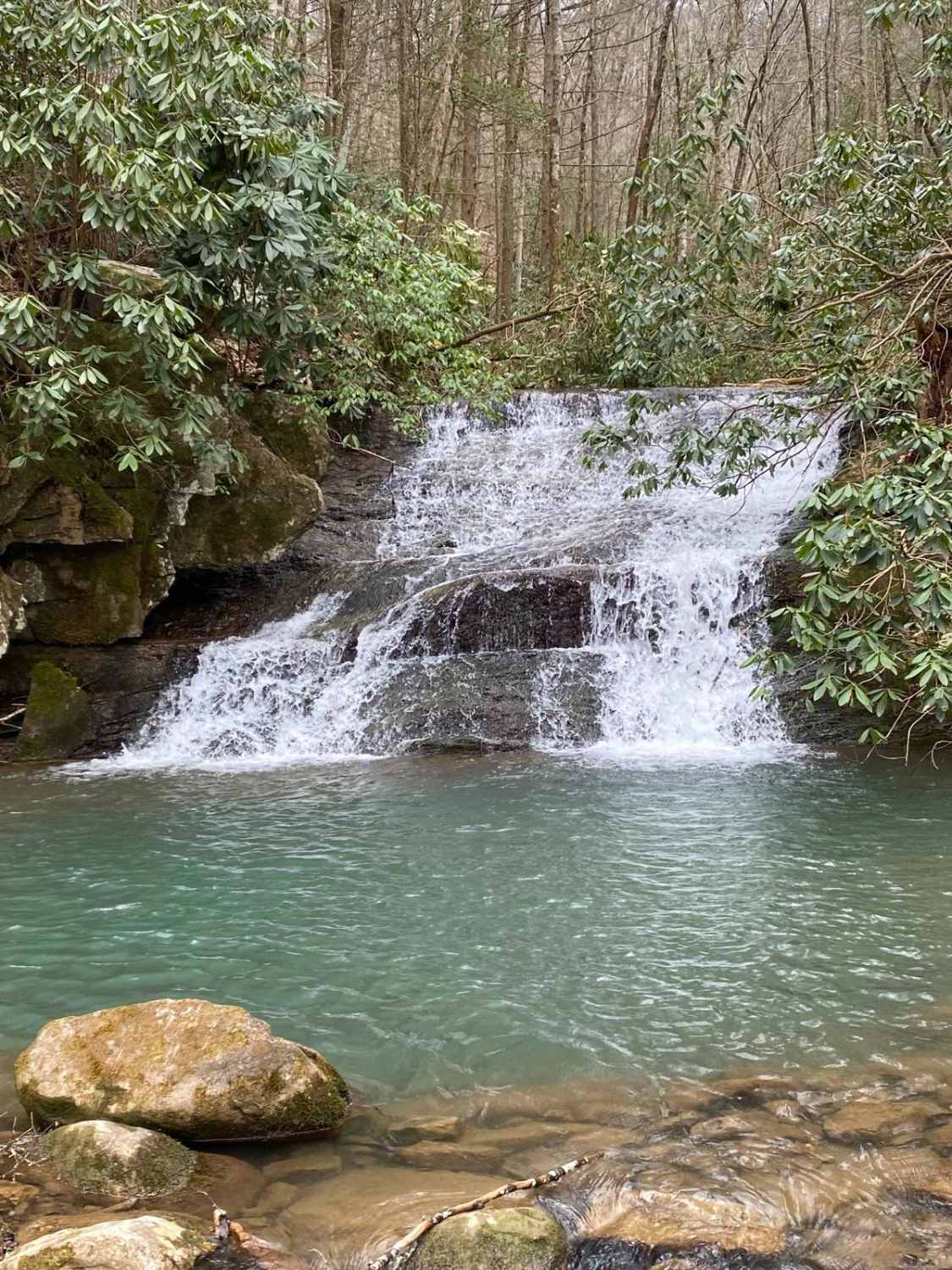
G21 - Skinned Ash Creek gets its name from the waterway that runs parallel to it. This dead-end path cuts across a picturesque mountain side showing the power of nature. Water has cut large ruts into the trail side with depths as far as 2.5 feet deep. This tire-swallowing rut is easy to avoid in most places, however, the trail tightens up in a spot that will put SxS and full-size vehicles right on the edge of the rut. The loose gravel and clay underneath could give way under the pressures of the vehicle. The end of the trail opens up to a large pasture that would provide a great spot for lunch. The park considers this trail a green "G" trail, but staff acknowledges the trail has worsened over time.
Photos of G21 - Skinned Ash Creek
Difficulty
Overall the trail can be completed in a stock 4x4, however the creek can pose a major threat to the trail and cause conditions to worsen over night.
Status Reports
Popular Trails
Ditney Mountain (66)
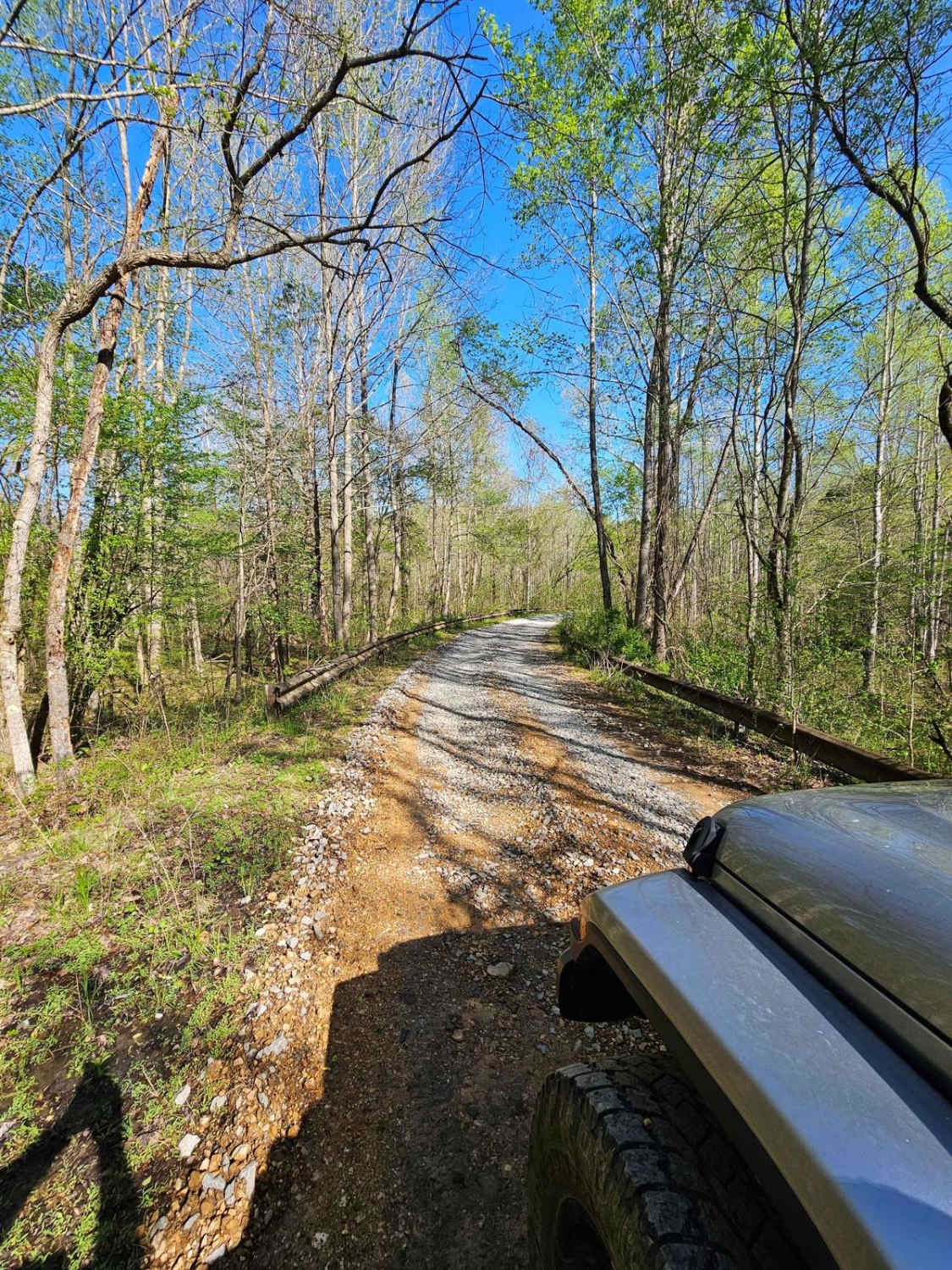
Neville Bay Road 214
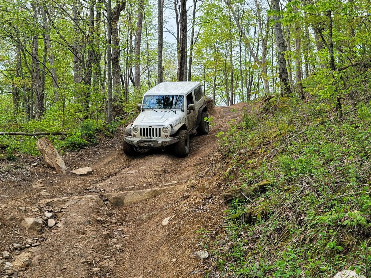
8 - Humpback
The onX Offroad Difference
onX Offroad combines trail photos, descriptions, difficulty ratings, width restrictions, seasonality, and more in a user-friendly interface. Available on all devices, with offline access and full compatibility with CarPlay and Android Auto. Discover what you’re missing today!
