G53 - Radar Base
Total Miles
5.3
Technical Rating
Best Time
Spring, Summer, Fall, Winter
Trail Type
Full-Width Road
Accessible By
Trail Overview
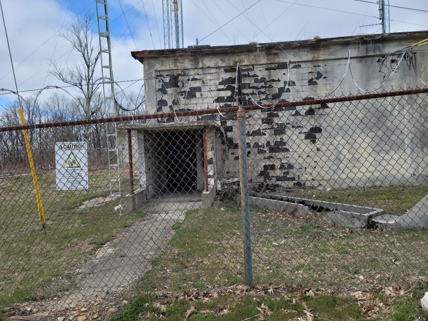
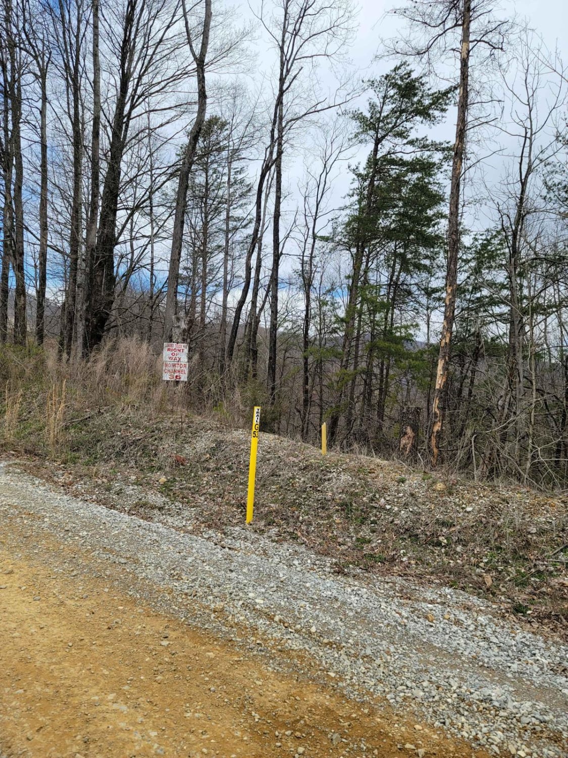
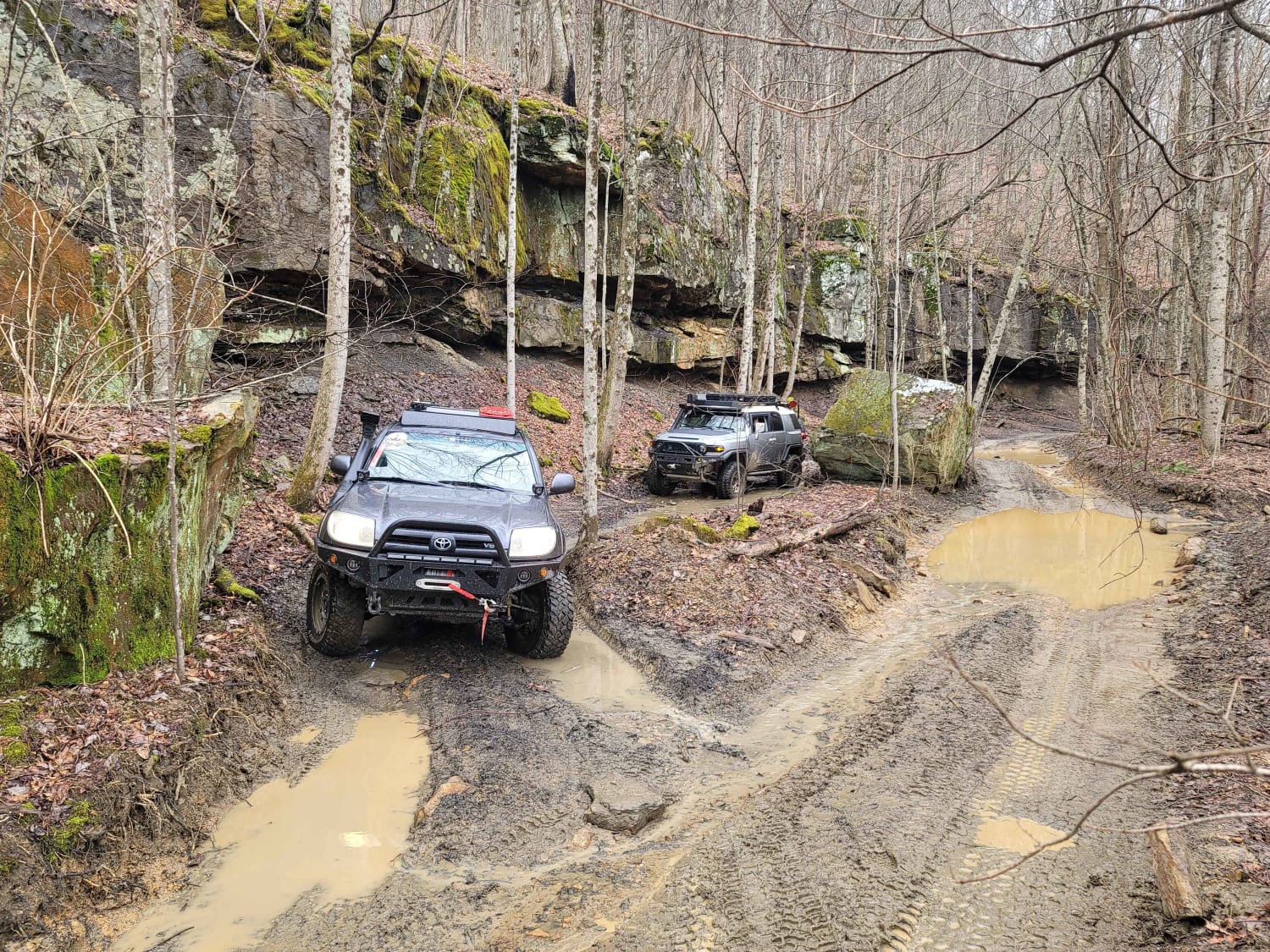
Trail G53 - Radar Base is a great spot to bring the kids and adults alike for the "Ooohs and Ahhhs". While this trail won't bring you into an off camber frenzy, it will make up for it in old structures and history. This trail is gravel from the pavement at Slatestone road to the base, it does feature some rocks that will make you want to air down for a more comfortable ride. This path is frequently maintained as it does have an active FFC antenna site at the radar base.
Photos of G53 - Radar Base
Difficulty
This is an easy green gravel trail throughout.
History
Much of this park was used during WW2 as the Manhattan Project was executed in one of the neighboring cities of Oak Ridge. The park provided excellent air support and communications for the surrounding areas.
Status Reports
Popular Trails
Buffalo Mountain - Fire Tower Climb
Neville Bay Road 214

South Lick Creek Road
83 - American Knob Bypass
The onX Offroad Difference
onX Offroad combines trail photos, descriptions, difficulty ratings, width restrictions, seasonality, and more in a user-friendly interface. Available on all devices, with offline access and full compatibility with CarPlay and Android Auto. Discover what you’re missing today!
