Iron Gap
Total Miles
5.1
Technical Rating
Best Time
Summer, Spring, Winter, Fall
Trail Type
Full-Width Road
Accessible By
Trail Overview
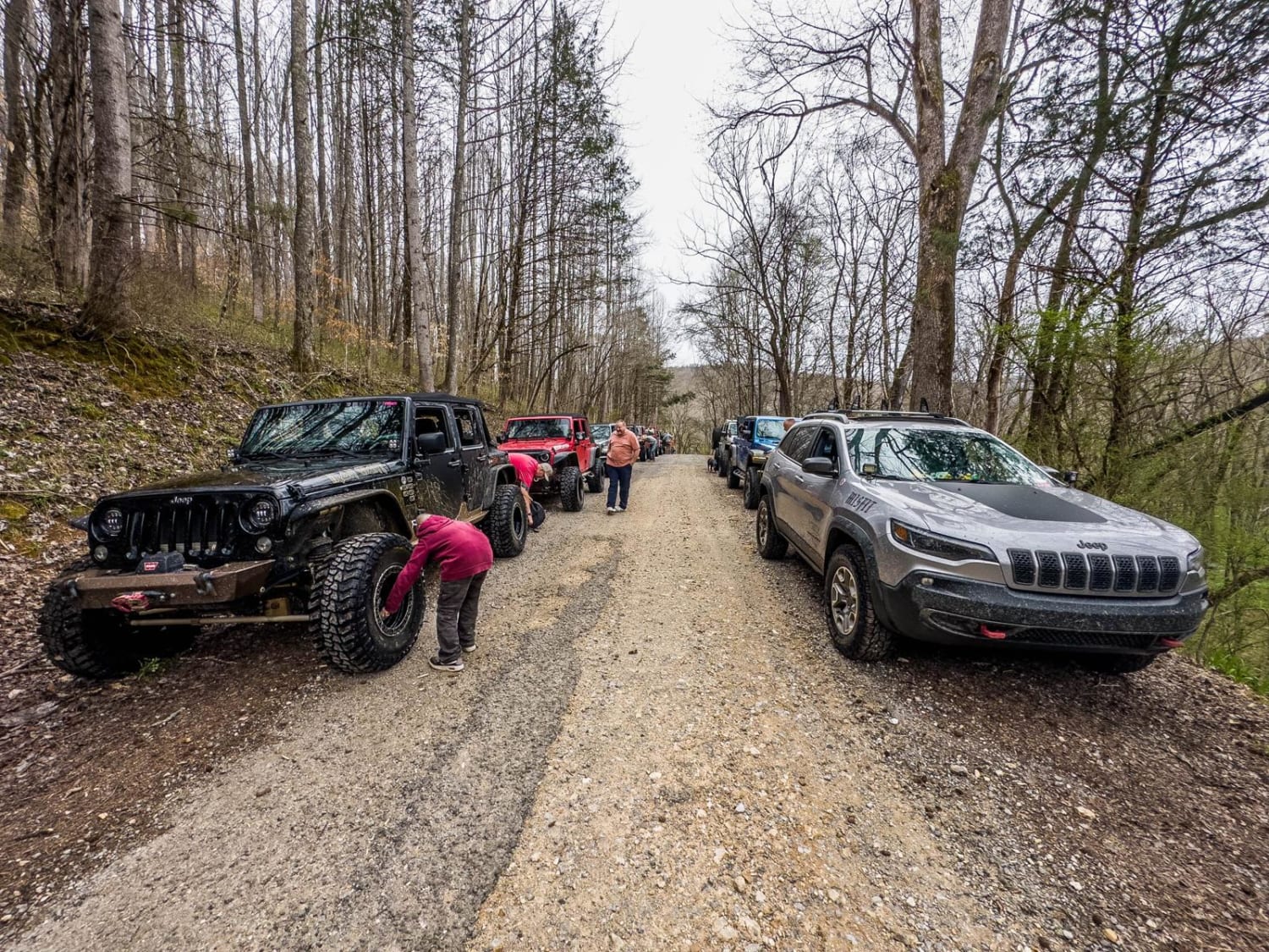
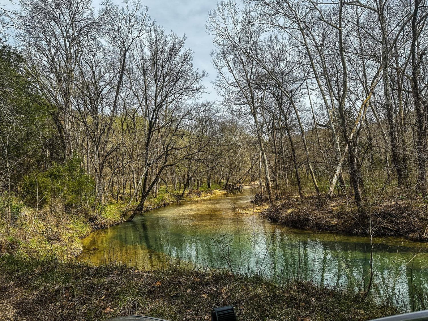
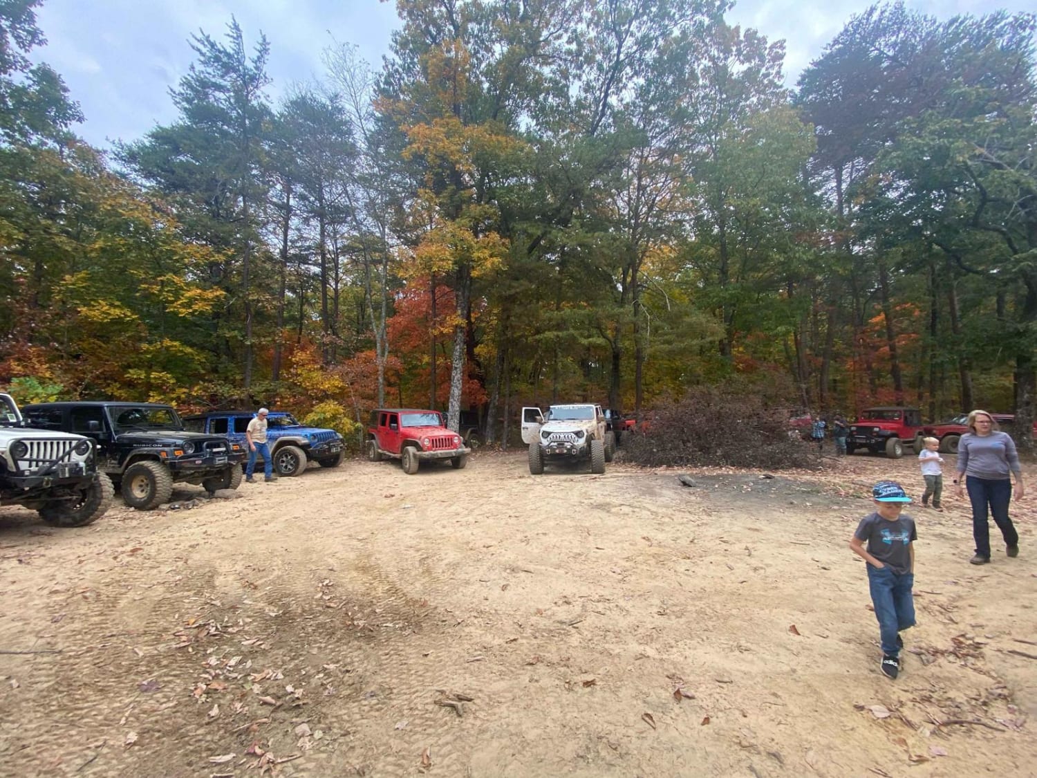
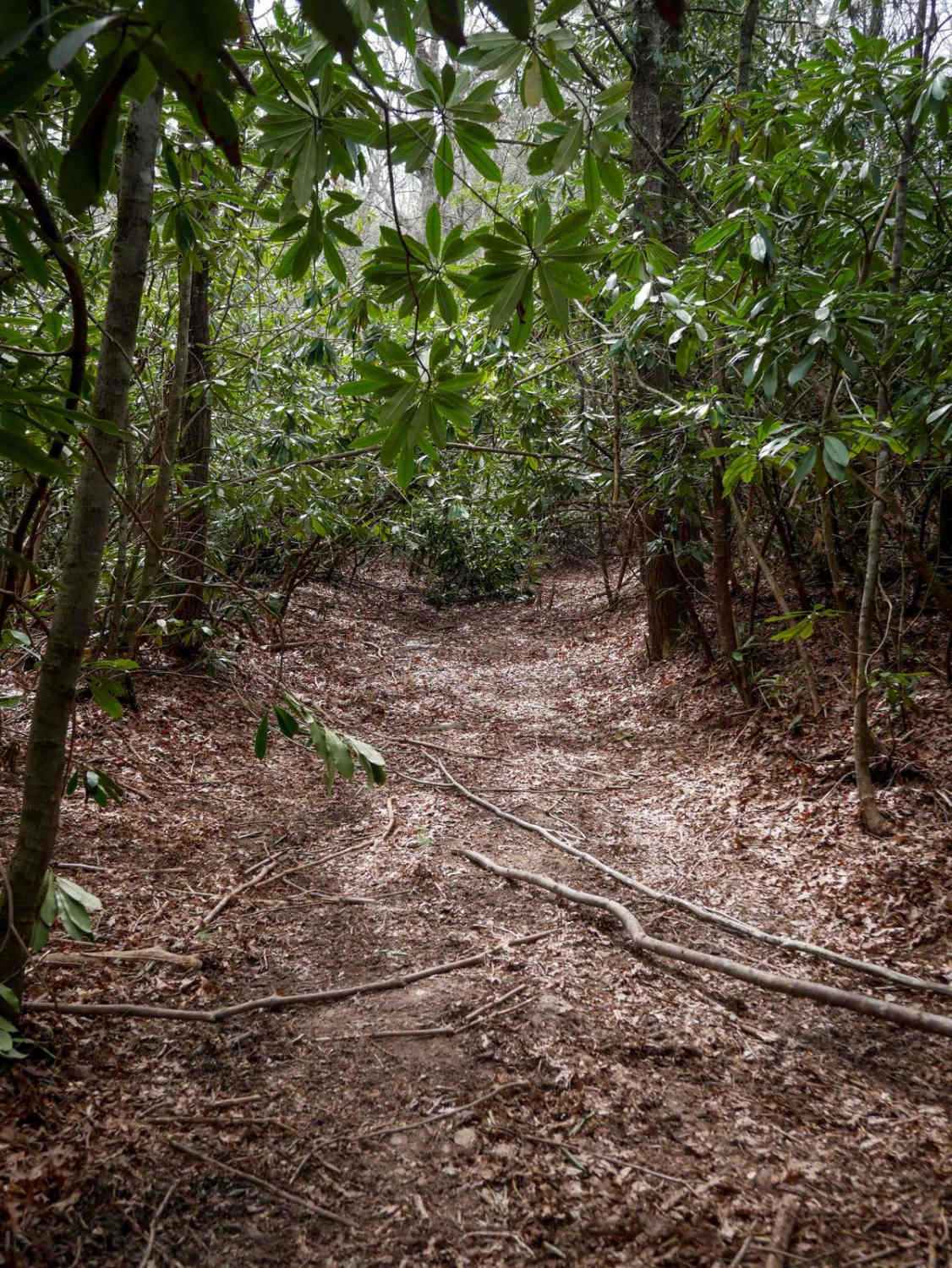
Iron Gap trail is a two-part trail. This trail guide is for the first leg of the trail. You will start at the end of County Road 175 where the trail will start by driving down the edge of the creek ( keep checks on the water level as it can get deep). As you continue down the trail there will be many more water crossings. The ground type will be a mix of dirt and larger river rock which makes for a very bumpy trail if not aired down. There are a few places about halfway down that will be larger rock climbs right out of the water so it will be slick so take your time on them. At the end of the first leg is a great camping and meeting spot. There is an obstacle that is rather large shelf climb that can be done but it is not necessary. You can continue on the trail but it does become a much higher-rated trail after the end of the first leg.
Photos of Iron Gap
Difficulty
This trail has many water crossings and at times water can become very deep and swift. Due to the way the trail is positioned along the creek it will change drastically based on weather.
Status Reports
Iron Gap can be accessed by the following ride types:
- High-Clearance 4x4
- SUV
- SxS (60")
Iron Gap Map
Popular Trails
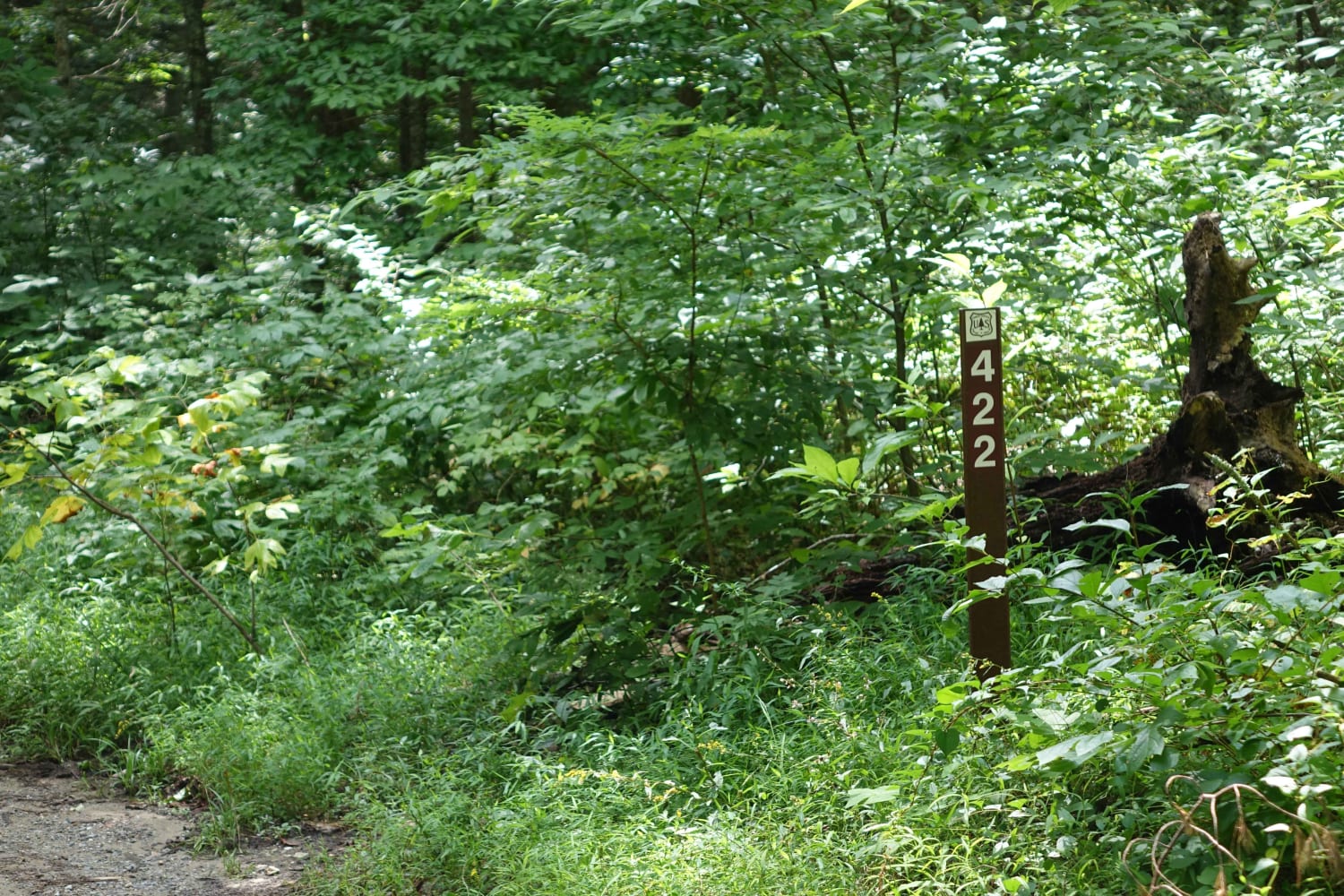
Hurricane Gap
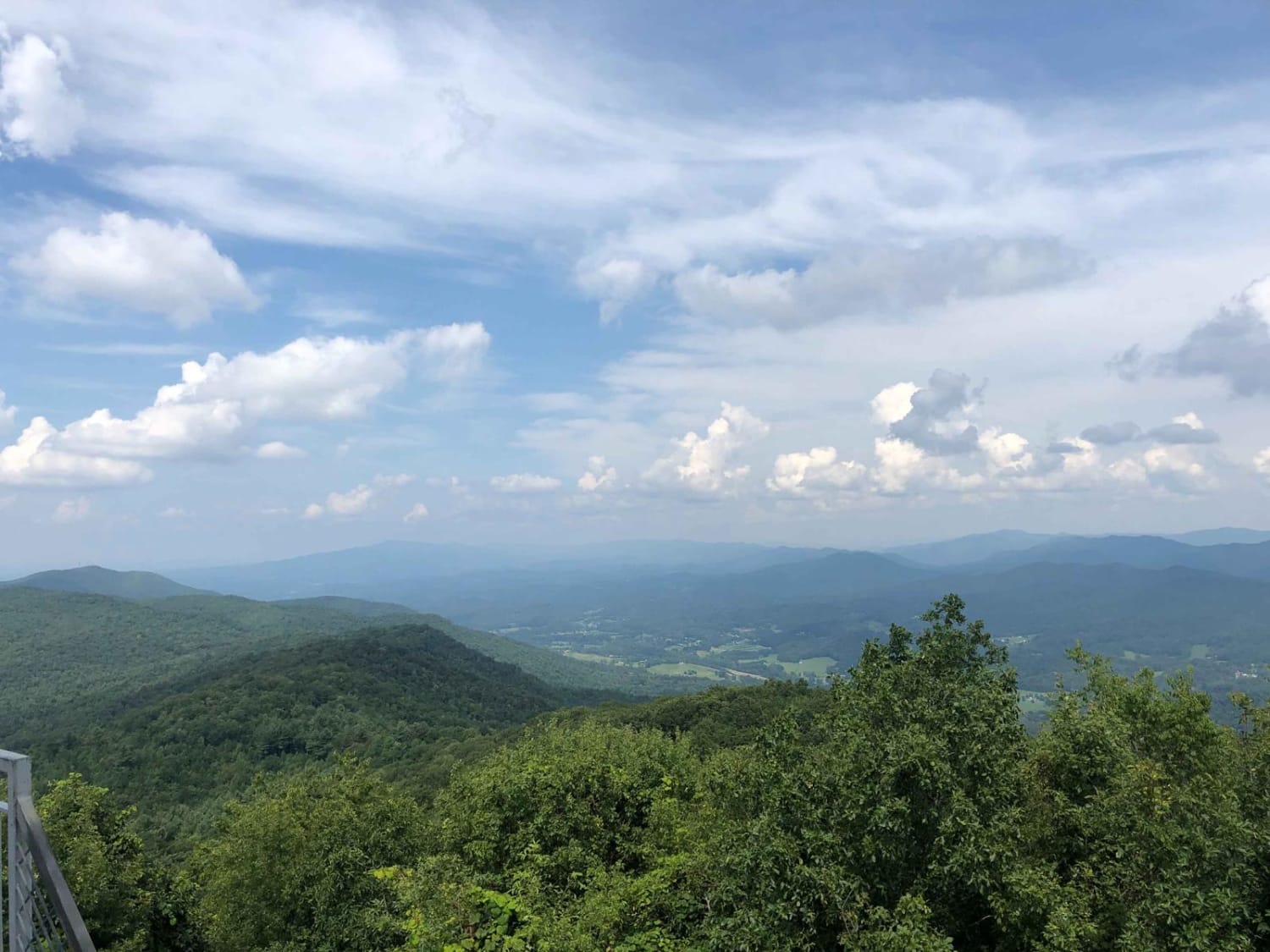
Buffalo Mountain - Fire Tower Climb
The onX Offroad Difference
onX Offroad combines trail photos, descriptions, difficulty ratings, width restrictions, seasonality, and more in a user-friendly interface. Available on all devices, with offline access and full compatibility with CarPlay and Android Auto. Discover what you’re missing today!
