Little Stoney Creek/Laurel Fork
Total Miles
3.4
Technical Rating
Best Time
Fall
Trail Type
Full-Width Road
Accessible By
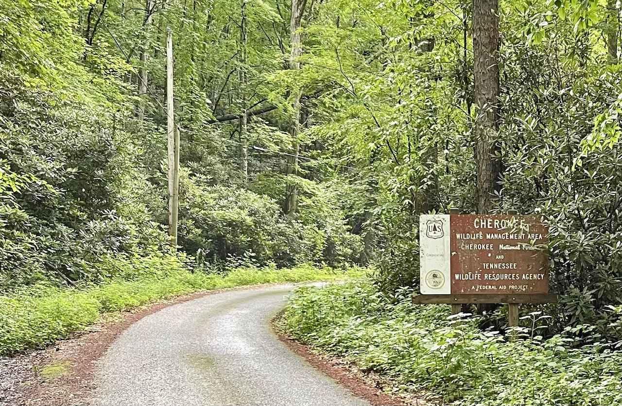
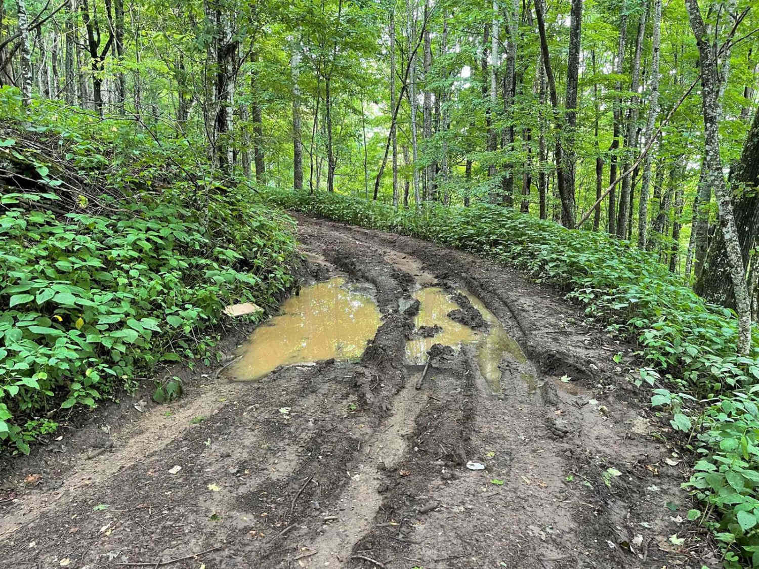
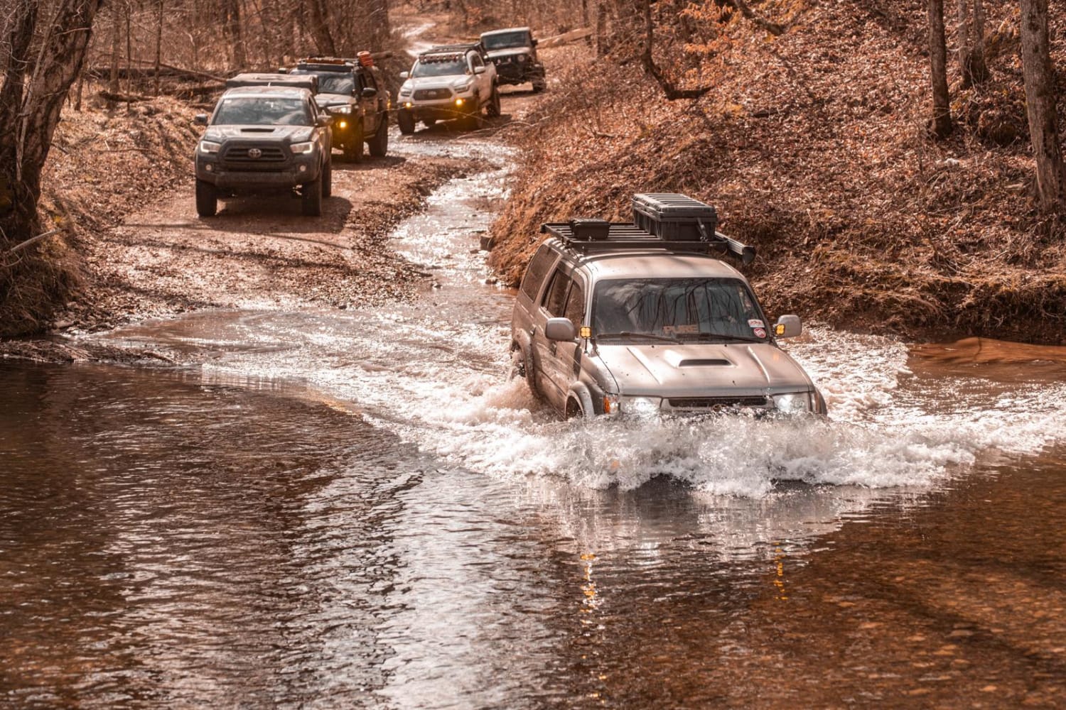
Trail Overview
A nice, simple trail connecting Watauga Lake and Dennis Cove Campground through the Cherokee National Forest. There are a few decent camping spots, no cellular service, and minimal traffic. However, it is single lane in most places and extremely curvy with elevation changes and many blind spots, so use caution. The short, paved section was included because it shows access to the trailhead from 321 and it is a very scenic route that travels alongside Little Stoney Creek, with several pullovers to access the creek. A few mudholes are the only obstacles, but they are easily bypassed. 4X4 is definitely not required, although a little clearance would be recommended. Will be an absolutely beautiful trail in the Fall.
Photos of Little Stoney Creek/Laurel Fork
Difficulty
Mainly just the blind spots due to elevation changes and curves.

Popular Trails
Coalmont OHV Company Farm Road
Trail 3 - Differential Dragger
Salt Lick Creek Crossing
Campground Connector
The onX Offroad Difference
onX Offroad combines trail photos, descriptions, difficulty ratings, width restrictions, seasonality, and more in a user-friendly interface. Available on all devices, with offline access and full compatibility with CarPlay and Android Auto. Discover what you’re missing today!