McQueen's Gap
Total Miles
5.9
Elevation
1,116.66 ft
Duration
--
Technical Rating
Best Time
Spring, Summer, Fall, Winter
Trail Overview
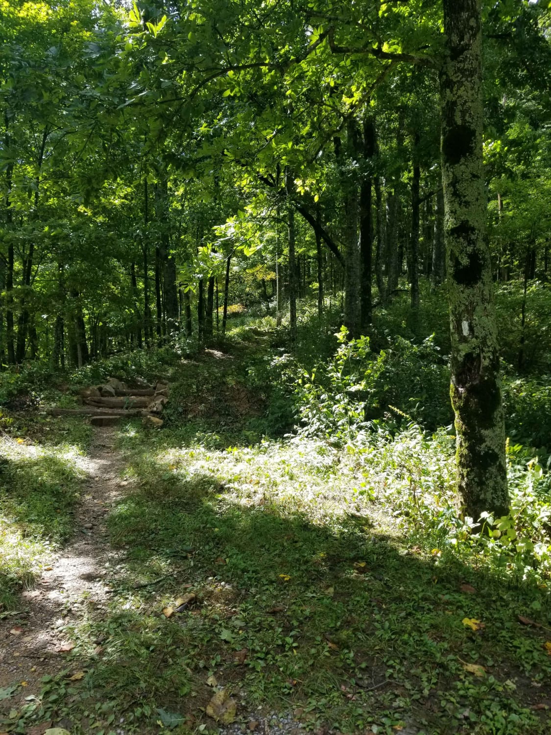
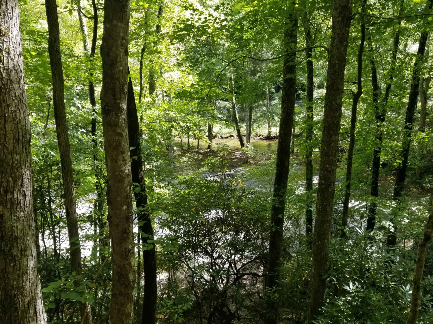
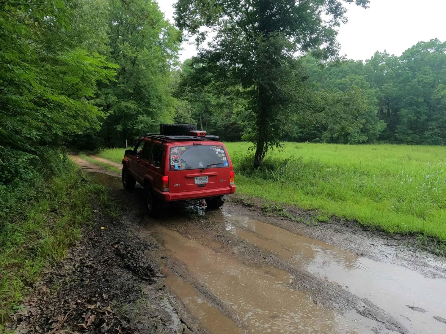
This is the only unpaved route across South Holston Mountain. There are many off shoot trails that are open seasonally, but the main route isn't ever closed. You can access the Appalachian Trail from the precipice of the trail. There is an old sand mine coming up from the Denton Valley side, and many other areas to explore. Certain areas of the route, mainly towards the top are narrow and require a vehicle to pull to the shoulder to pass. There are blind curves, so please be courteous and careful.
Photos of McQueen's Gap
Difficulty
Route varies in difficulty with weather. There is a large change in elevation and the route can be much more challenging during times of inclement weather such as snow and ice.
Status Reports
Popular Trails
60 - Bridge Branch
Dry Branch Road
Morgan Cemetery Road FSR 222
The onX Offroad Difference
onX Offroad combines trail photos, descriptions, difficulty ratings, width restrictions, seasonality, and more in a user-friendly interface. Available on all devices, with offline access and full compatibility with CarPlay and Android Auto. Discover what you’re missing today!
