Lockhart to Luling via Backroads
Total Miles
30.0
Technical Rating
Best Time
Spring, Fall, Winter, Summer
Trail Type
Full-Width Road
Accessible By
Trail Overview
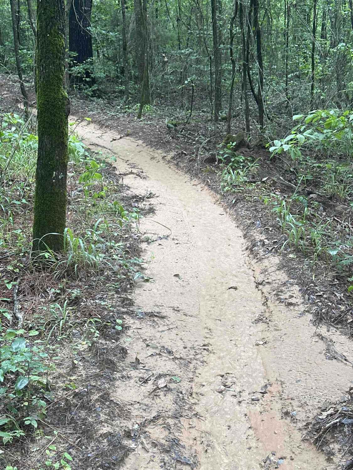
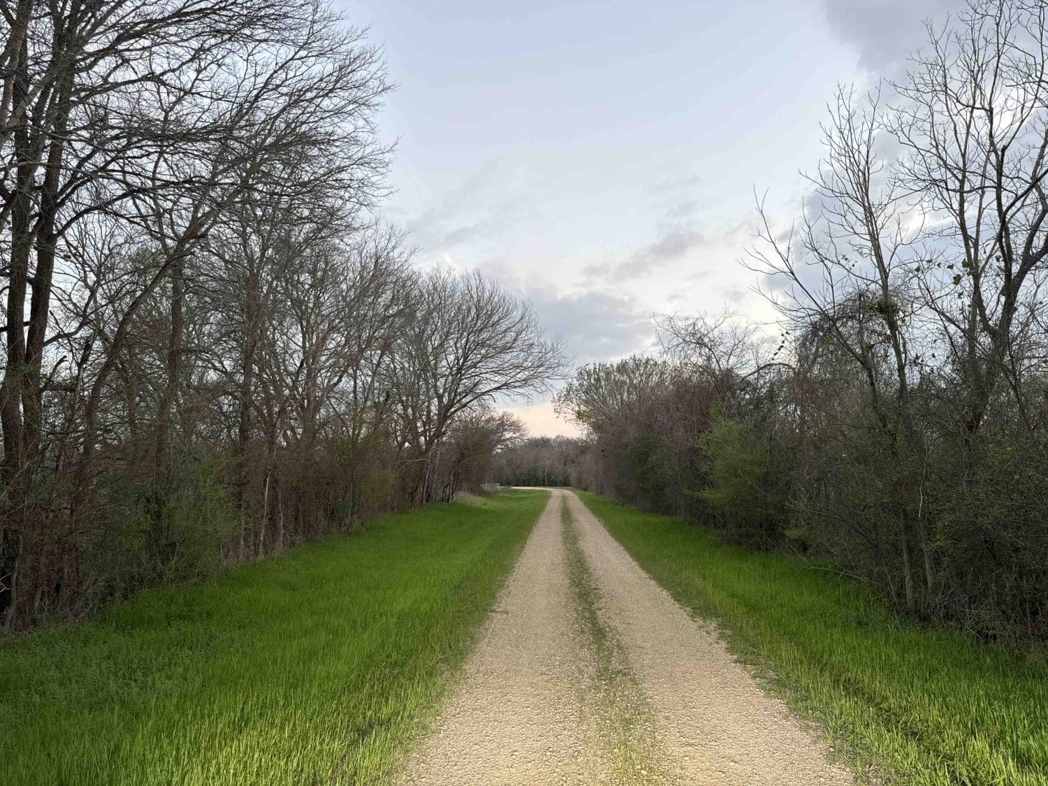
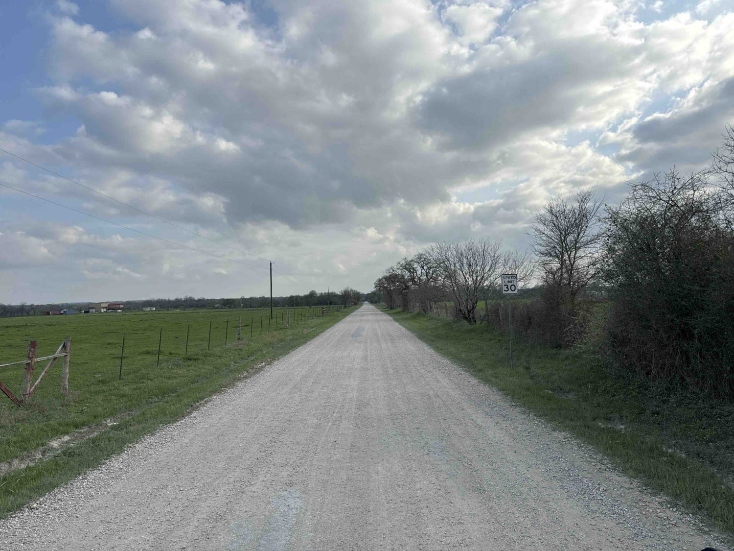
This short trail consists of a mix of hard-packed gravel and dirt, with a few sections of pavement in between, making a nice drive from the Lockhart area to the Luling area. You will pass a multitude of ranches and pastures that show off central Texas' beautiful scenery. You will also see cows, donkeys, horses, and goats on these farms. It is an easy drive with no water crossings or large obstacles. There are not any specific landmark or scenic areas to stop at along the way, but you are unlikely to come across many other vehicles, so stopping for a short period on the side of the road seems fine. There is a gas station near the halfway point if needed but there are not any areas for camping. As the roads border many private ranches, do not take other dirt roads you see off this trail as they are likely private driveways.
Photos of Lockhart to Luling via Backroads
Difficulty
The roads are easily driveable for 4x4 or AWD/SUV vehicles. There are no large obstacles or cutouts either.
Status Reports
Lockhart to Luling via Backroads can be accessed by the following ride types:
- High-Clearance 4x4
- SUV
Lockhart to Luling via Backroads Map
Popular Trails

Jerry Paul's Expressway (JP Express)

Twist and Shout

Silt Pond Trail

Boots Off Camp Trail
The onX Offroad Difference
onX Offroad combines trail photos, descriptions, difficulty ratings, width restrictions, seasonality, and more in a user-friendly interface. Available on all devices, with offline access and full compatibility with CarPlay and Android Auto. Discover what you’re missing today!

