Pinto Canyon Road
Total Miles
21.1
Technical Rating
Best Time
Spring, Fall, Winter
Trail Type
Full-Width Road
Accessible By
Trail Overview
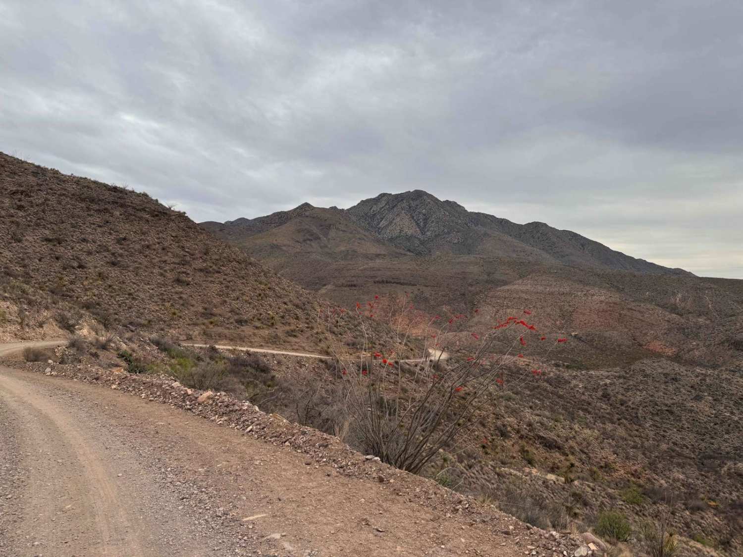
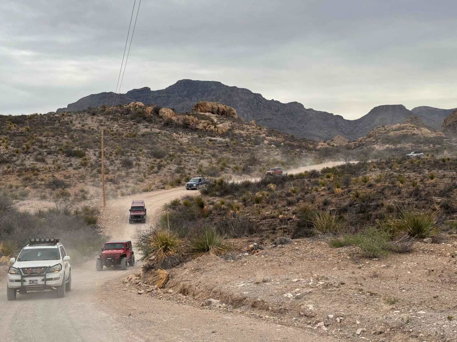
Pinto Canyon Road is a mostly graded dirt road suitable for almost all vehicles, but even for the serious off-road driver, the scenery makes it worth it. Pinto Canyon Road starts where the pavement of RM2810 ends, 32 miles southwest of downtown Marfa, Texas. It then descends through Pinto Canyon to the village of Ruidosa, Texas. The beautiful views of deep canyons and mountain peaks, including Chinati Peak at 7,728 feet above sea level, are why you drive this road. As you get towards the south end of the road, rugged mountains in Mexico loom in the distance. The road ends in the small village of Ruidosa right on the Rio Grande border with Mexico. The road is an easy, mostly smooth drive but is very dusty and has many sections with steep drop-offs into the canyon below.
Photos of Pinto Canyon Road
Difficulty
This road is in a very remote portion of Texas with no help within miles. It can be very muddy and slippery when wet.
Pinto Canyon Road can be accessed by the following ride types:
- High-Clearance 4x4
- SUV
Pinto Canyon Road Map
Popular Trails

Silt Pond Trail

Linda Gail

Soli Hull Street

Boots Off Camp Trail
The onX Offroad Difference
onX Offroad combines trail photos, descriptions, difficulty ratings, width restrictions, seasonality, and more in a user-friendly interface. Available on all devices, with offline access and full compatibility with CarPlay and Android Auto. Discover what you’re missing today!

