Trail to the Sulphur River
Total Miles
4.5
Technical Rating
Best Time
Fall, Spring
Trail Type
Full-Width Road
Accessible By
Trail Overview
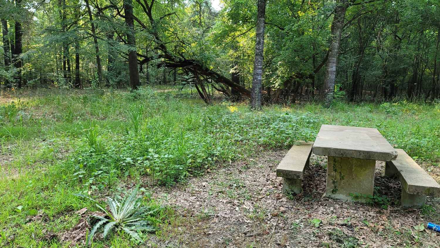
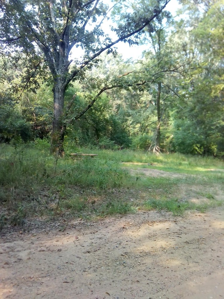
This gravel road starts at the Highway 67 and Highway 8 intersection. It is just past the Highway 8 turn if you're coming from Maud, Texas. You will cross the railroad tracks and follow the maintained gravel road to the Sulphur River. There is a boat launch (dirt ramp) at the end of this road. Along the way, you will pass a few picnic areas with concrete tables and a fire ring. You can primitive camp in these areas, which are towards the Sulphur River end of the road. The road is gravel and a two-wheel drive can make it when dry. During rain, in some spots the road can become muddy and flooded. Be aware of snakes and other creatures. Mosquitoes can be terrible here, so be prepared if you're going to hang out in the camping areas. There is hunting in this area.
Photos of Trail to the Sulphur River
Difficulty
This road is in good shape most of the time. After rain, some spots can become flooded and very muddy.
History
This used to be called the "monument." Before the road was fixed, it was a go-to for the big 4x4s to play in huge mud holes. This is not allowed now.
Status Reports
Trail to the Sulphur River can be accessed by the following ride types:
- High-Clearance 4x4
- SUV
- Dirt Bike
Trail to the Sulphur River Map
Popular Trails

Southeast Main Road

BBRSP Lower Alamito Road
The onX Offroad Difference
onX Offroad combines trail photos, descriptions, difficulty ratings, width restrictions, seasonality, and more in a user-friendly interface. Available on all devices, with offline access and full compatibility with CarPlay and Android Auto. Discover what you’re missing today!


