Off-Road Trails in Texas

Discover off-road trails in Texas

Learn more about Saba Stroll
Saba Stroll

Saba Stroll

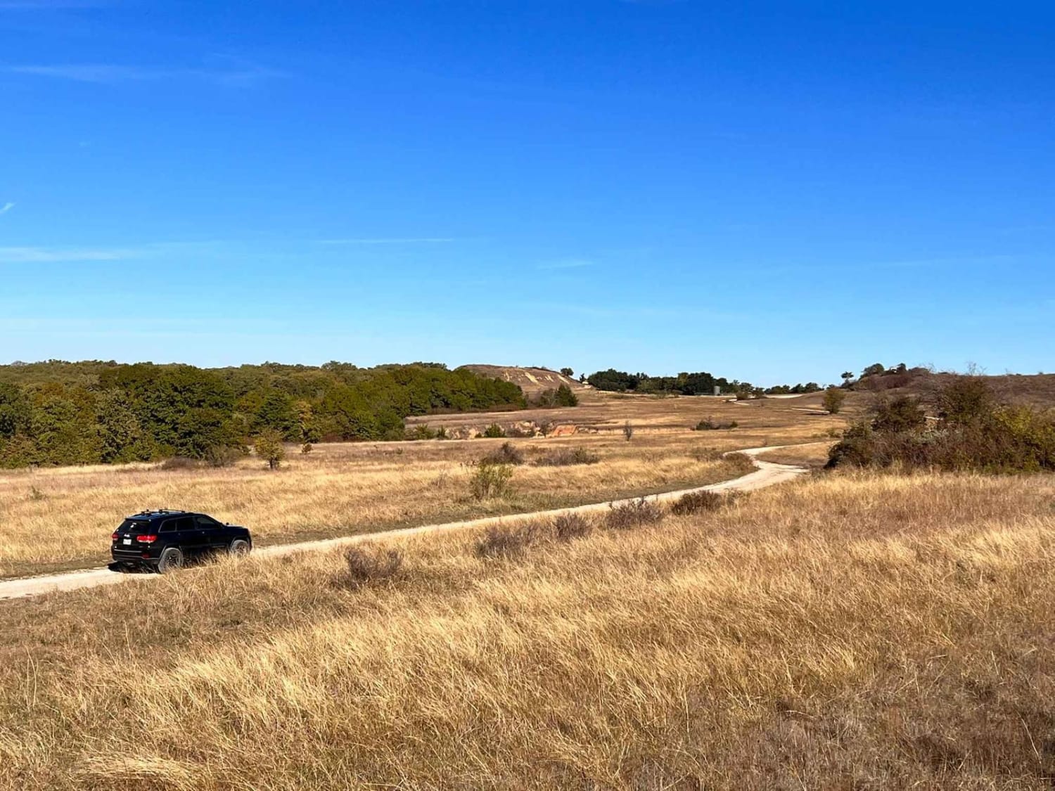
Cutting from Hwy 16 to Hwy 190 around the town of San Saba and over the San Saba River, this quick drive offers beautiful views of the Texas countryside. A long straight stretch through grazing…
Learn more about Saba Stroll
Total Miles
11.3
Tech Rating
1 Easy
Best Time
Spring, Fall
Learn more about Sagissor
Sagissor

Sagissor

Sagissor is a great trail for an experienced driver with a lifted vehicle and oversized tires. This trail has many 'Black' offshoots, but the main trail itself is moderate. Expect a steep turning trail, vehicles…
Learn more about Sagissor
Total Miles
0.9
Tech Rating
5 Moderate
Best Time
Spring, Summer, Fall, Winter
Learn more about Sam Houston Swing
Sam Houston Swing

Sam Houston Swing

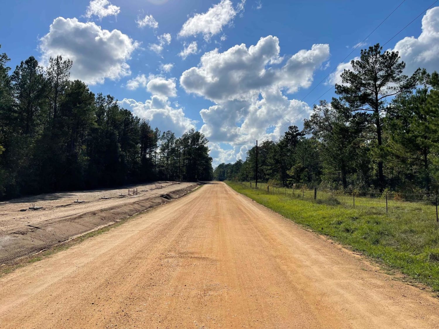
This trail swings through the Sam Houston National Forest just east of Lake Conroe. The trail is maintained dirt/gravel Forest Service roads and can be traveled in either direction in any stock truck or SUV…
Learn more about Sam Houston Swing
Total Miles
12.9
Tech Rating
2 Easy
Best Time
Spring, Summer, Fall, Winter
Learn more about Scenic Overlook - 900H
Scenic Overlook - 900H

Scenic Overlook - 900H

This trail has a beautiful view with multiple campsites. It is a branch off the Mesa - 900 trail and connects back to it on both sides. The campsites have stone fire pits and the…
Learn more about Scenic Overlook - 900H
Total Miles
0.3
Tech Rating
1 Easy
Best Time
Spring, Summer
Learn more about School Bus #12
School Bus #12

School Bus #12

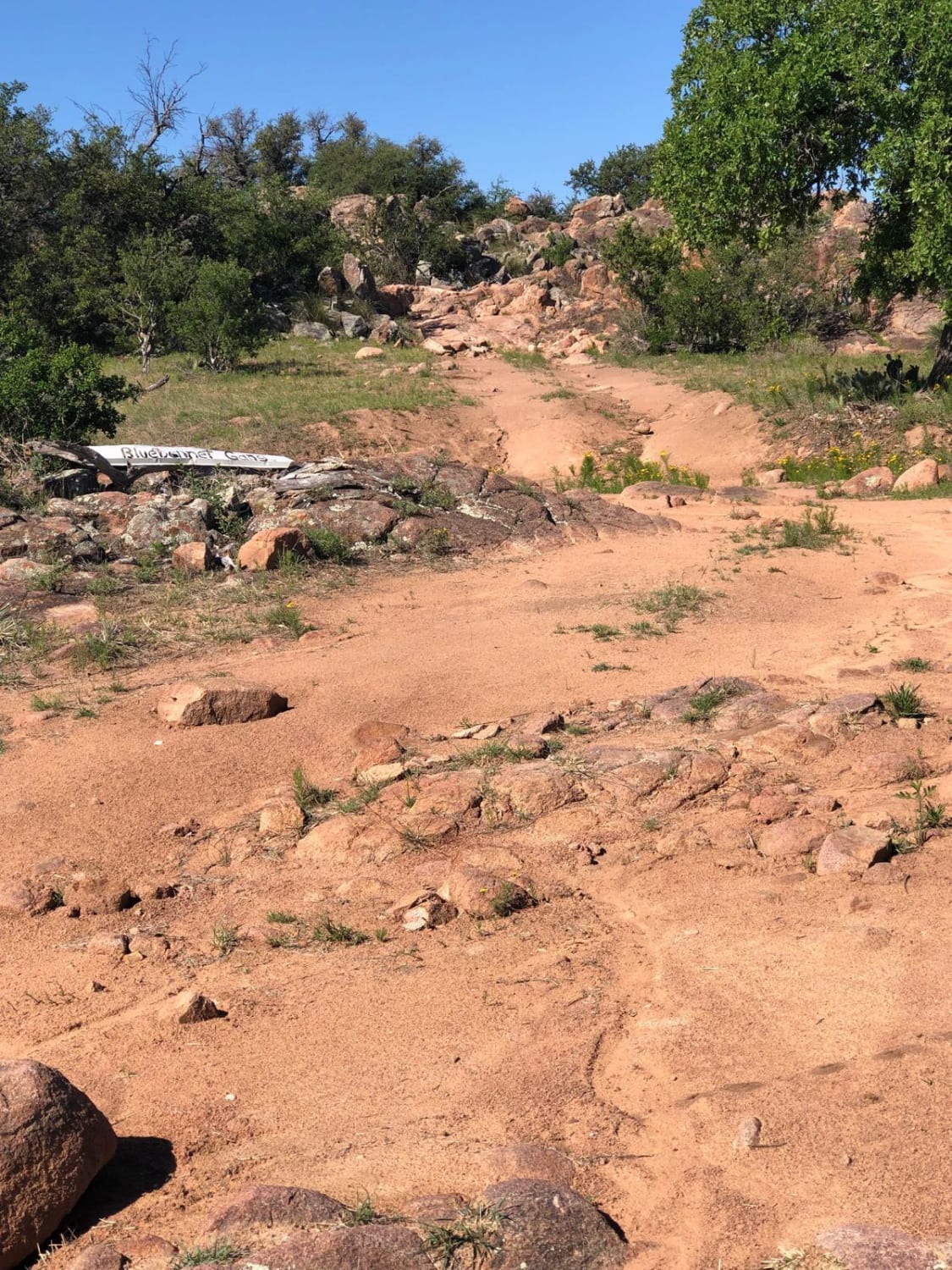
Trail #12 on K2 paper map. (BLUE - MODERATE) This is a popular moderate trail that can be run in either direction. One end begins with a loaf of rock to go up and over.…
Learn more about School Bus #12
Total Miles
0.5
Tech Rating
6 Moderate
Best Time
Spring, Fall
Learn more about Sierra Sky View
Sierra Sky View

Sierra Sky View

Drop in from either end and mind some of the tightness weaving through the trees, shelves, and v-notches, with plenty of opportunity to lose a fender or two (or actual body damage). Good eyes and…
Learn more about Sierra Sky View
Total Miles
0.4
Tech Rating
6 Moderate
Best Time
Spring, Summer, Fall
Learn more about Smuggler's Strait
Smuggler's Strait

Smuggler's Strait

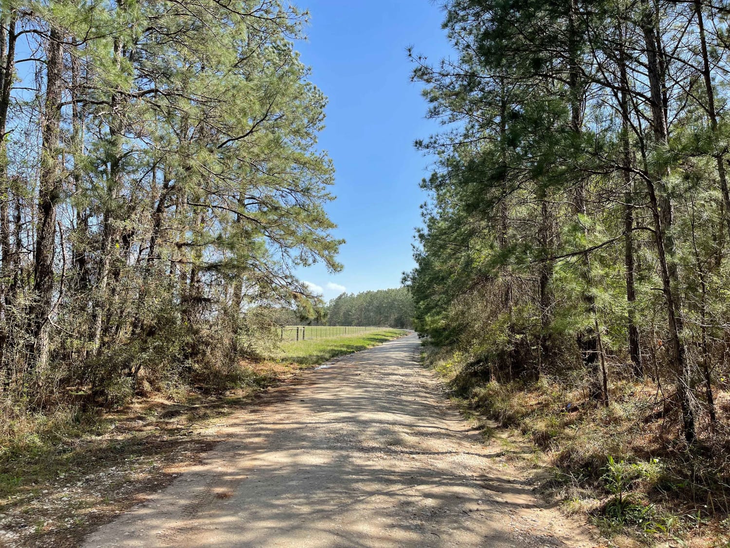
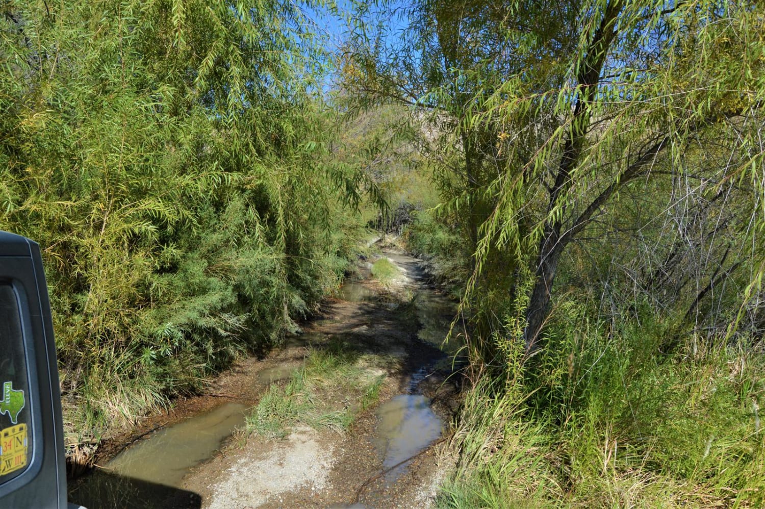
Soft dirt road in the Alabama Creek Wildlife Management Area that will lead you through a changing landscape of gravel, grass, washouts, and mudholes up to 12" with some light off-camber grading. Half of this…
Learn more about Smuggler's Strait
Total Miles
6.0
Tech Rating
2 Easy
Best Time
Summer, Winter
Learn more about Snoopy Falls to International Highway
Snoopy Falls to International Highway

Snoopy Falls to International Highway

This trail starts out pretty flat but quickly evolves into a dry creek bed that has several connecting trails off it. This 4x4 trail is short and should take less than an hour to complete…
Learn more about Snoopy Falls to International Highway
Total Miles
0.3
Tech Rating
4 Moderate
Best Time
Spring, Summer, Fall, Winter
Learn more about South County Road
South County Road

South County Road

South County Road is one of only a few public dirt roads through the Terlingua Ranch Subdivision. It is a mostly smooth road without any obstacles but excellent desert scenery. All of the property along…
Learn more about South County Road
Total Miles
5.8
Tech Rating
1 Easy
Best Time
Spring, Fall, Winter
Learn more about Spider Ravine
Spider Ravine

Spider Ravine

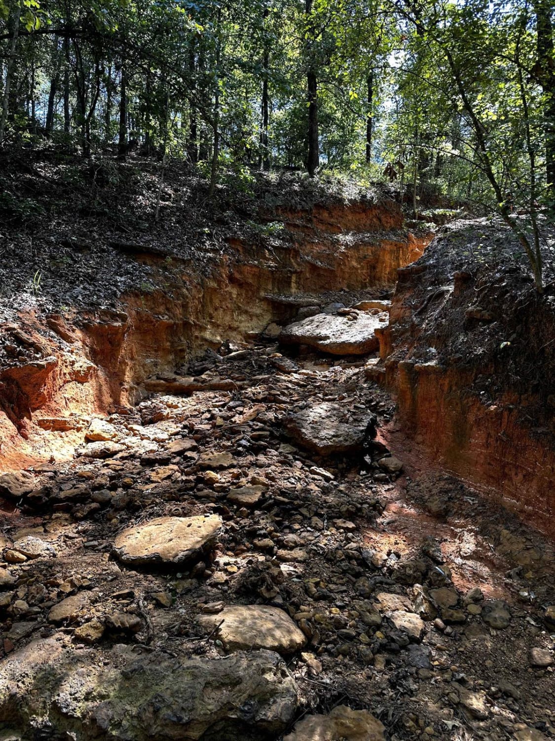
This trail is located inside the Barnwell Mountain Recreation Area, an offroad park located outside of Gilmer, Texas. This traverse through a short ravine (a little over a quarter of a mile) offers several technical…
Learn more about Spider Ravine
Total Miles
0.3
Tech Rating
4 Moderate
Best Time
Spring, Summer, Fall, Winter
Learn more about Terlingua Abaja
Terlingua Abaja

Terlingua Abaja

A short, but beautifully scenic route to the ghost town of Terlingua Abaja. This is an out-and-back trail with minor off-camber, switchbacks, and rough, rocky areas. There are three campsites available at the end of…
Learn more about Terlingua Abaja
Total Miles
1.9
Tech Rating
3 Easy
Best Time
Winter
Learn more about Texas Hill Country Tour
Texas Hill Country Tour

Texas Hill Country Tour

Texas is known for many things, but mountainous terrain isn't one of them. Endless miles of plains and prairies seem to stretch in all directions, yet tucked away in the heart of state is an…
Learn more about Texas Hill Country Tour
Total Miles
139.6
Tech Rating
2 Easy
Best Time
Spring, Fall
Learn more about Texas Traverse (Leg 1)
Texas Traverse (Leg 1)

Texas Traverse (Leg 1)

Uneven, rutted dirt trail with potential for loose rocks and sandy washes. Water crossings less than a foot deep. Potential for mud holes and trail obstacles up to 12", including ledges and short, steep grades.…
Learn more about Texas Traverse (Leg 1)
Total Miles
378.9
Tech Rating
3 Easy
Best Time
Spring, Summer, Fall, Winter
Learn more about Texas Traverse (Leg 2)
Texas Traverse (Leg 2)

Texas Traverse (Leg 2)

As you depart the National Forest systems of Texas, you start coming into Texas farmland. You will cross the Trinity River a couple of times while paralleling it for miles. Coal mining is still prevalent…
Learn more about Texas Traverse (Leg 2)
Total Miles
304.2
Tech Rating
2 Easy
Best Time
Spring, Summer, Fall, Winter
Learn more about Texas Traverse (Leg 4)
Texas Traverse (Leg 4)

Texas Traverse (Leg 4)

As this leg of the traverse brings you into the hill country of Texas, you will encounter bump gates, water crossings, general stores and exclusive camping sites on private property right on the water. Water…
Learn more about Texas Traverse (Leg 4)
Total Miles
158.0
Tech Rating
1 Easy
Best Time
Spring, Summer, Fall, Winter
Learn more about Texas Traverse Bypass
Texas Traverse Bypass

Texas Traverse Bypass

Bypass for the Texas Traverse. If it has rained, the road gets really sloppy, and some parts are narrow. There are three narrow wood bridges with washboard surf on parts. There are high-fenced game reserves…
Learn more about Texas Traverse Bypass
Total Miles
7.6
Tech Rating
3 Easy
Best Time
Winter, Summer, Fall, Spring
Learn more about The Main Road
The Main Road

The Main Road

This is the Main Road, used to access many trailheads, campsites, and the only bathrooms in this area of Lake Meredith National Recreation Area (on this westerly side.) The first half is sandy, and the…
Learn more about The Main Road
Total Miles
3.7
Tech Rating
1 Easy
Best Time
Spring, Summer, Fall, Winter
Learn more about The Twins B-27a
The Twins B-27a

The Twins B-27a

The Twins is a Level 5 rock crawling trail located in Northwest OHV Park. This trail starts as a small to medium loose boulder field, and as you begin the climb, the boulders become larger,…
Learn more about The Twins B-27a
Total Miles
0.0
Tech Rating
7 Difficult
Best Time
Spring, Summer, Fall, Winter
Learn more about Trail to the Sulphur River
Trail to the Sulphur River

Trail to the Sulphur River

This gravel road starts at the Highway 67 and Highway 8 intersection. It is just past the Highway 8 turn if you're coming from Maud, Texas. You will cross the railroad tracks and follow the…
Learn more about Trail to the Sulphur River
Total Miles
4.5
Tech Rating
2 Easy
Best Time
Fall, Spring
Learn more about Trestle Overlook
Trestle Overlook

Trestle Overlook

This is a trail to a scenic spot overlooking the Canadian River and a train trestle that spans it. It looks west, making it picture perfect for those legendary Texas panhandle sunsets or stargazing. Cell…
Learn more about Trestle Overlook
Total Miles
2.6
Tech Rating
3 Easy
Best Time
Spring, Summer, Fall, Winter

The onX Offroad Difference

onX Offroad combines trail photos, descriptions, difficulty ratings, width restrictions, seasonality, and more in a user-friendly interface. Available on all devices, with offline access and full compatibility with CarPlay and Android Auto. Discover what you’re missing today!