31958-B
Total Miles
0.6
Technical Rating
Best Time
Spring, Summer, Fall
Trail Type
60" Trail
Accessible By
Trail Overview
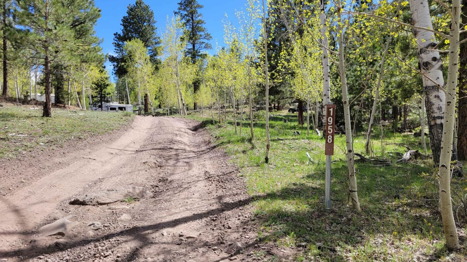
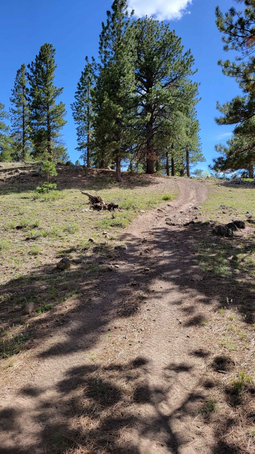
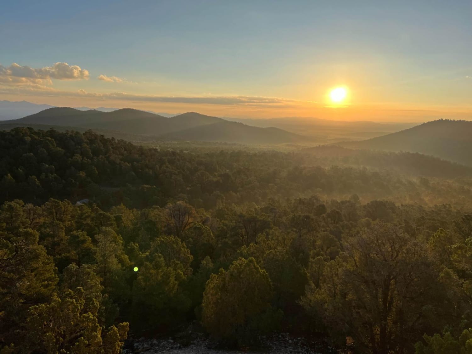
This is a very short offshoot trail from 35158. It's on the advanced side with a couple of steep hill climbs, a couple of which have some rocky sections to navigate. It abruptly dead ends up on a hillside. If you walk across the hill a few feet, through the trees you can catch quite an expansive view Eastward. That's what made this short trail worth the climb. Respect posted signs, "ATVs avoid using meadows - please stay on designated roads and trails only". Primitive camping was noted around the beginning of the trail. The area closed in the winter months.
Photos of 31958-B
Difficulty
This is an uneven, rutted dirt trail with the potential for loose rocks and sandy washes. Potential for mud holes and trail obstacles up to 12", including ledges and short, steep grades.
Status Reports
31958-B can be accessed by the following ride types:
- SxS (60")
- ATV (50")
- Dirt Bike
31958-B Map
Popular Trails
Lower Rocks Road Trail
Hell's Hole (FS #41200)

Barney Cove ATV Trail-NPS33014
Arrowhead Trail
The onX Offroad Difference
onX Offroad combines trail photos, descriptions, difficulty ratings, width restrictions, seasonality, and more in a user-friendly interface. Available on all devices, with offline access and full compatibility with CarPlay and Android Auto. Discover what you’re missing today!
