Baulie's Road - San Juan County B236
Total Miles
6.8
Technical Rating
Best Time
Spring, Summer, Fall, Winter
Trail Type
Full-Width Road
Accessible By
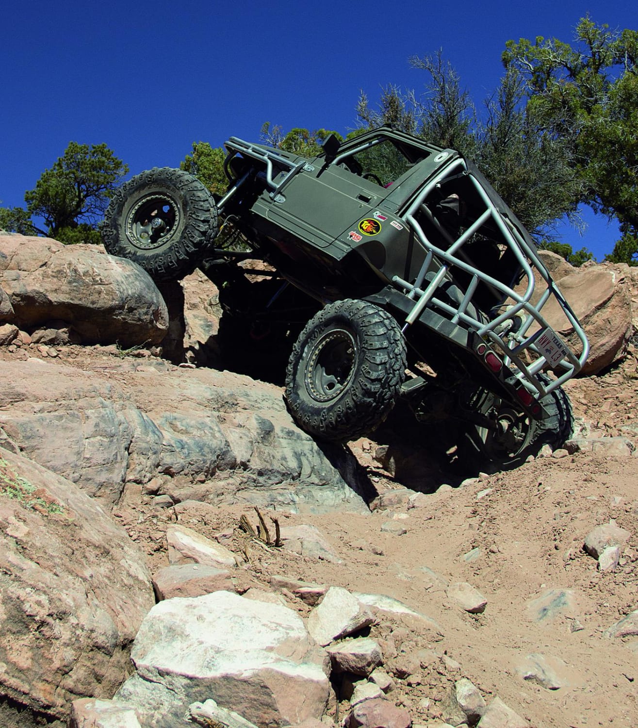
Trail Overview
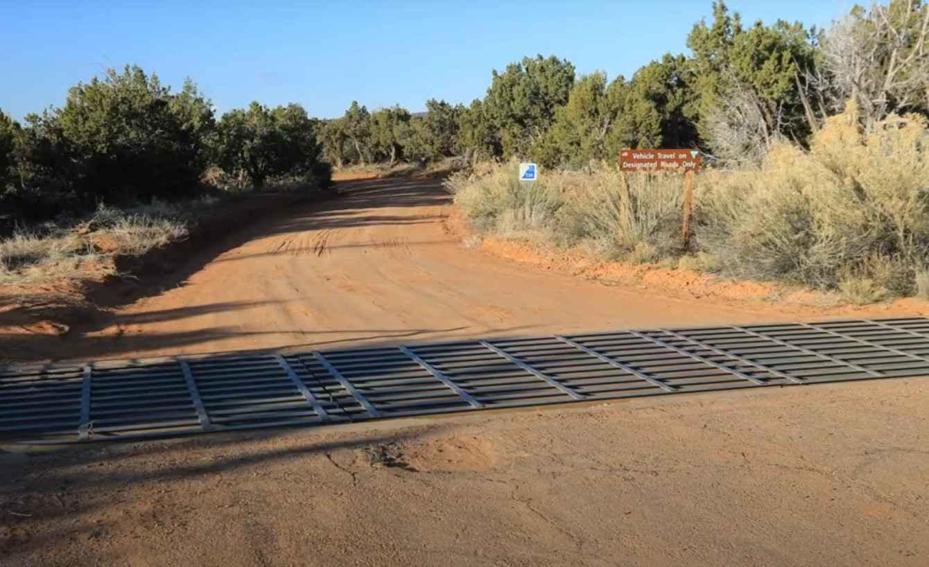
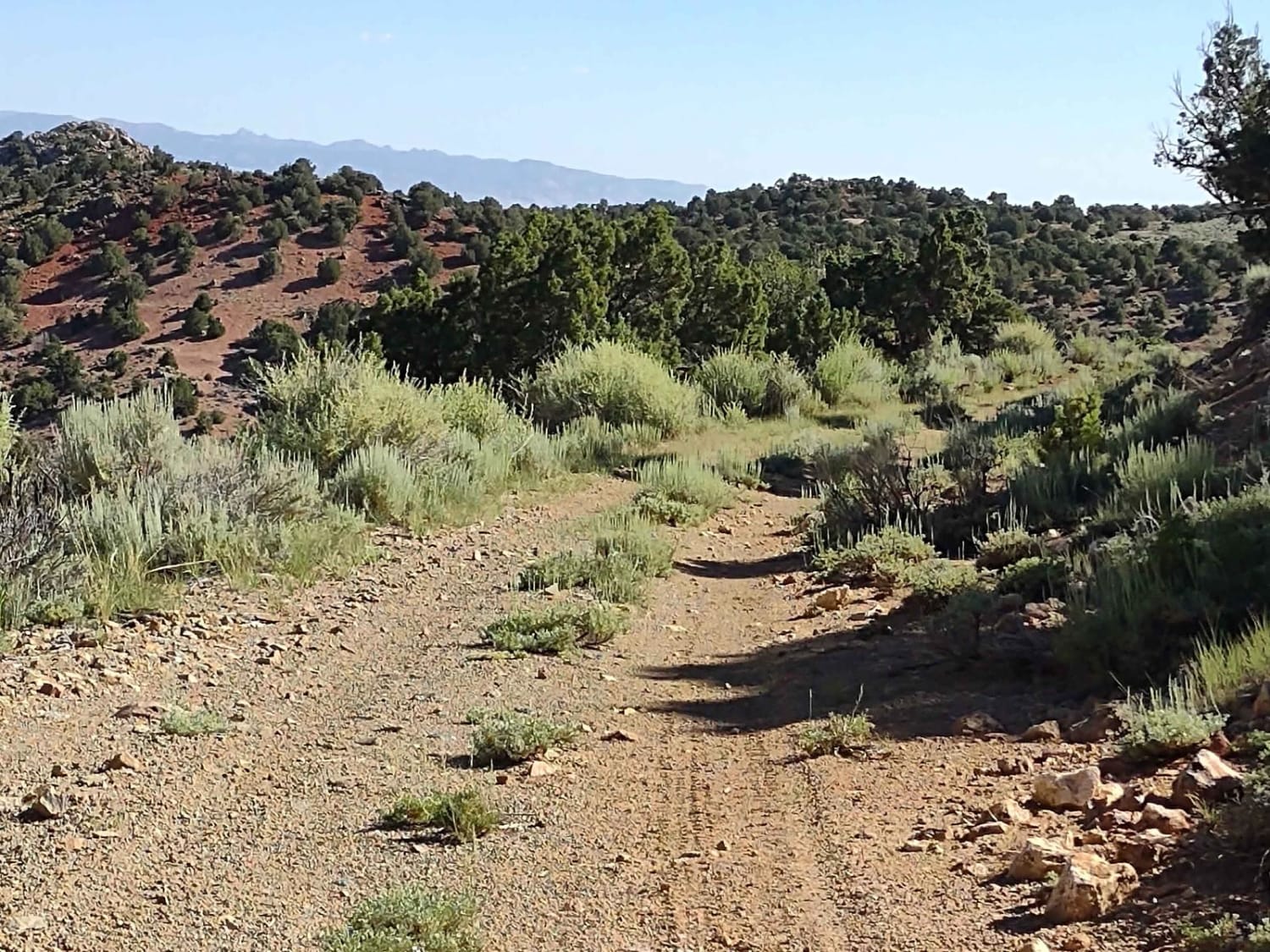
Baulie's Road is a 6.8-mile out-and-back trail (13.6-mile round trip) rated 3 of 10 located in San Juan County and falls within the Bears Ears National Monument. This is a destination trail also known as Dry Canyon Overlook and leads to a vista view of the Dry Wash and Comb Wash basin. In addition, there are several ancient native ruins accessible from the trail end. This road is intermittently maintained by the county. The Dry Wash Overlook is at the end of County Road 236 on Baulie's Mesa west of Blanding, Utah. Besides great views of Comb Ridge from the west visitors can also see a small, well intact, cliff dwelling that is tucked away within an alcove below the rim and the Dry Wash Overlook Pueblo with its 4 towers and enclosing wall on the top of the mesa. During good conditions, the first 6 miles or so of the road are passable by 2WD vehicles with a normal amount of ground clearance. Stay on the main road until you reach the 5.6-mile point and turn right. Currently, there is a square post on the right side of the road at the turnoff. About 100 feet past the turnoff on the left is a metal post that is a dry-hole marker at a former drill site. After making the turn the road passes another well site with a dry hole marker. From that point on the road quickly begins to deteriorate. A high clearance vehicle is required past 6 miles, but not necessarily one with 4WD. The trail is a mix of sand track and mostly exposed flat slick rock. Some of the areas are very sandy making turning around difficult. From the overlook, you can look down on your left and see the cliff dwelling in the alcove below the rim. This site includes several granaries and the structure is said to have 5 rooms. Less than two hundred yards to the east, on top of the mesa, is the Dry Wash Overlook Pueblo (37.4614, -109.70782). Four towers dominate the site which is enclosed on three sides by a short wall. On the cliff face below the rim just outside the east wall are a series of steps that would have provided a way to climb up and down between the cliff dwellings and the top of the mesa. The Pueblo site is enclosed with a fence that was constructed to keep cattle from rubbing up against and damaging the walls. Please ensure that the gate is closed when you depart the area. Note that this area is above 5000' and does get snow in the winter. There is no cell service anywhere in the area. The nearest services are located in Blanding which is 25 miles east of the trailhead on Highway 95.
Photos of Baulie's Road - San Juan County B236

Difficulty
This is a trail consisting of loose rocks, dirt, and sand with some slick rock surfaces. Mud holes are possible and 4WD may be required, aggressive tires are a plus.
Status Reports
Baulie's Road - San Juan County B236 can be accessed by the following ride types:
- High-Clearance 4x4
- SUV
- SxS (60")
- ATV (50")
- Dirt Bike
Baulie's Road - San Juan County B236 Map
Popular Trails

Wallsburg Ridge Trail
County Road 1936
The onX Offroad Difference
onX Offroad combines trail photos, descriptions, difficulty ratings, width restrictions, seasonality, and more in a user-friendly interface. Available on all devices, with offline access and full compatibility with CarPlay and Android Auto. Discover what you’re missing today!