Billy Goat Byway to Jackson Peak
Total Miles
3.3
Technical Rating
Best Time
Spring, Summer, Fall
Trail Type
High-Clearance 4x4 Trail
Accessible By
Trail Overview
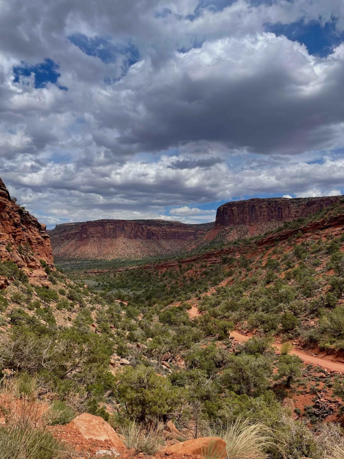
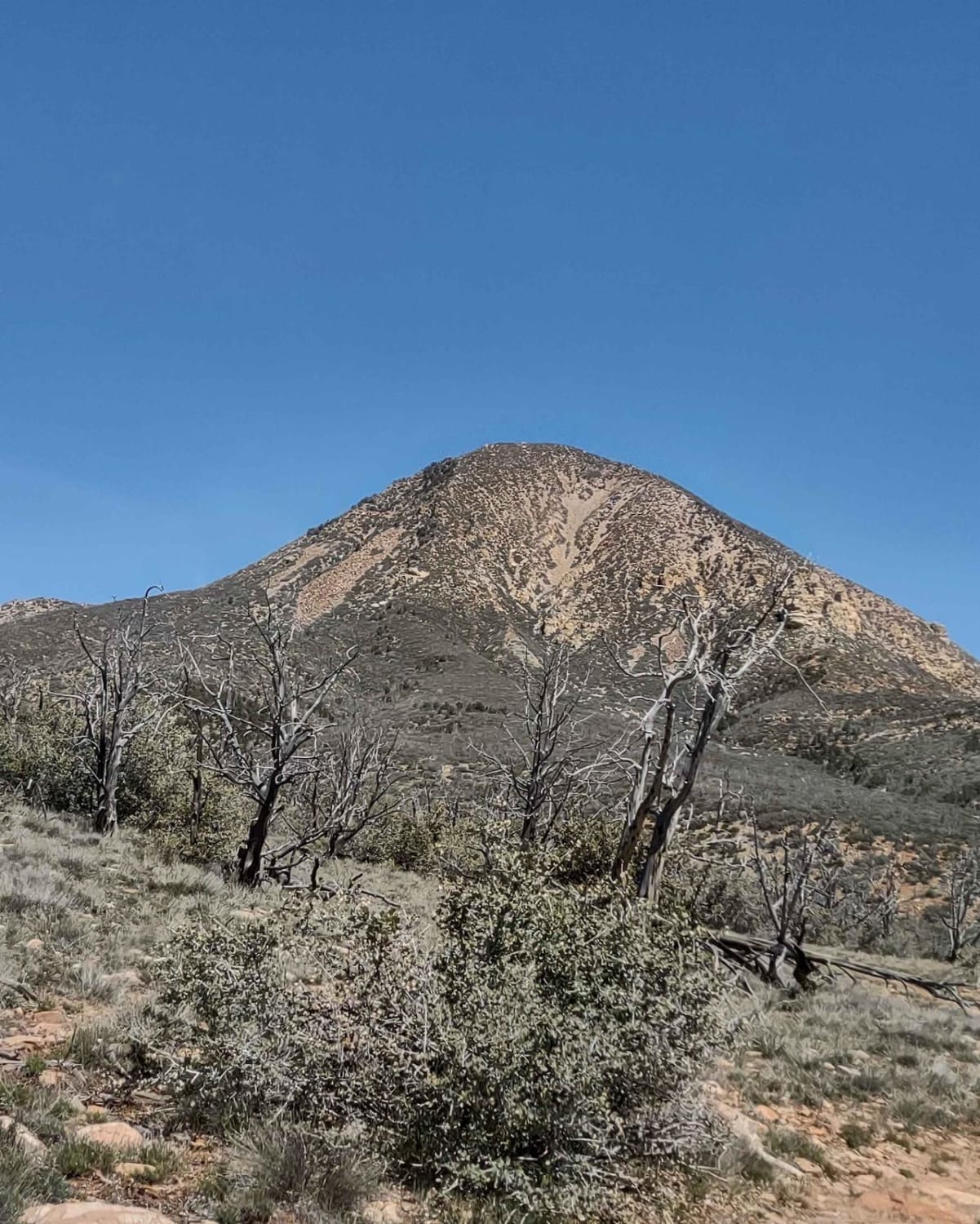
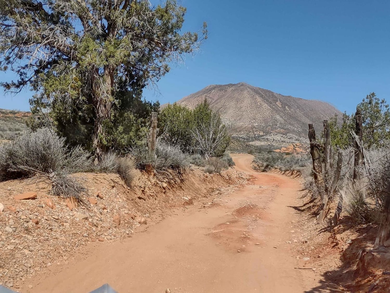
Billy Goat Byway goes north from Energy Corridor Road towards Square Top Mountain and Jackson Peak. We were trying to go clear around Jackson Peak and connect with the Goldstrike Trail near Hamburg Peak, but the trail narrowed sufficiently where we turned around so that only quads, dirt bikes and 60" SXSs could make the full trip. Jackson Peak is 6798 feet above sea level, but we were there in the springtime, and the trail was dry. This trail may be open in the wintertime as it's on the southern slope, but we weren't here to verify. It's a very rocky trail, hence our name "Billy Goat Byway." And there are some tight turns where the trail crosses some of the draws in this area, but still an easy trail. The scenery is fantastic in this area of Southern Utah. When you turn around, you can see for miles down toward St. George. There is evidence of a fire that happened several years ago, giving the tree stumps that remain sort of a driftwood appearance. The vegetation and bushes have grown back so there is plenty of opportunity for "desert pinstriping". While the trail is narrow, our 72" SXSs navigated the trail easily. Backpacking, exploring, and photography opportunities in this area are plentiful. In February of 2023, Utah began enforcement of a new law, which requires an online education course for all off-roaders. The free course is available online. Google "Utah OHV Education Course," and the free test will pop up. It's an easy test that will only take 15-30 minutes, and it's required for all off-roaders, Jeeps, SXSs, dirt bikes, and ATVs. Kids under the age of 18 will have to take the Youth Education Test at the same site. After completing the test, print out the certificate to carry with you which shows you completed the course. We have taken it, and it's really no big deal. Good reminders about trail etiquette and trail preservation.
Photos of Billy Goat Byway to Jackson Peak
Difficulty
Tight corners in some of the draws may require a 3-point turn for longer vehicles, but it's an easy trail.
Status Reports
Billy Goat Byway to Jackson Peak can be accessed by the following ride types:
- High-Clearance 4x4
- SxS (60")
- ATV (50")
- Dirt Bike
Billy Goat Byway to Jackson Peak Map
Popular Trails

Hideout Canyon Road

Upper Ranch Canyon Road-Beaver County 28

Behind the Reef to Temple Mountain Cutoff

Duma Point Road
The onX Offroad Difference
onX Offroad combines trail photos, descriptions, difficulty ratings, width restrictions, seasonality, and more in a user-friendly interface. Available on all devices, with offline access and full compatibility with CarPlay and Android Auto. Discover what you’re missing today!

