BLM D0153 - Farmhouse Ruins
Total Miles
2.6
Technical Rating
Best Time
Spring, Summer, Fall
Trail Type
Full-Width Road
Accessible By
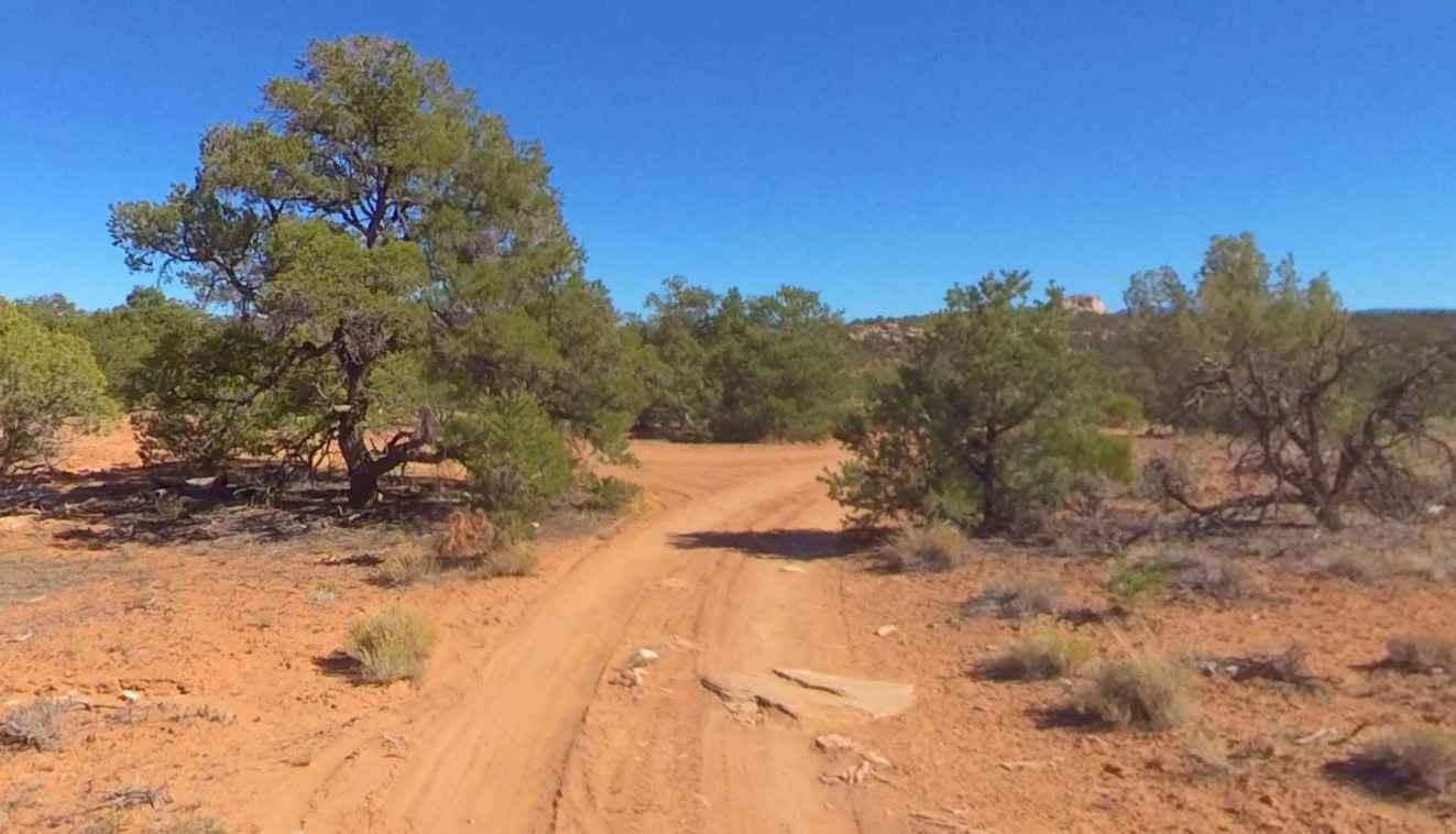
Trail Overview
BLM D0153 is a 2.6-mile out-and-back (5.2-mile round trip) trail rated 3 of 10 located within the Bears Ears National Monument and managed by the BLM. This area is rich in ancient native dwellings, ruins, and rock art. In addition to the major points of interest described on this trail, nearly every side trail leads to an area that can be explored. The route is along an unimproved dirt track with no real obstacles to negotiate. Just keep an eye out for ruts as this trail is above 6000' elevation so rain and snow can create muddy conditions. Many of the points of interest are located within 100 yards of the trail along the ridge of the bench (rise in the ground). This dirt track starts at the intersection with Ruin Park Road and heads west. The first set of ruins is less than a quarter-mile west of the intersection. Look for a looping trail on the west side of the trail. The ruins of a round stone structure and the foundation of a rectangular dwelling are located at 38.01026, -109.91473. Follow the loop back to the main trail and continue for about another quarter-mile to the next intersection on the right. Located on the hill to the north are two more sets of ruins. The most prominent is called "The Farmhouse" located at 38.00959, -109.91787, and a lesser set of ruins is located at 38.00927, -109.91716. The road up the hill leads to the "Farmhouse" which is one of the largest ruins in the basin. If only one ruin is visited in the basin this is the must-see location. From here the trail starts to deteriorate some and there are a few small rock climbs before the trail ends. Another mile down the trail are two ruins sitting atop the hill located at 38.00741, -109.93287 and 38.00691, -109.93283. Standing at these ruins provides a sweeping view of the valley below. There is no cellular coverage in the area and the nearest services are located in Monticello (the shortest route is approximately 65 miles).
Photos of BLM D0153 - Farmhouse Ruins

Difficulty
This trail consists of loose rocks, dirt, and sand with some slick rock surfaces, mud holes possible, and no steps higher than 12". 4WD may be required and aggressive tires are a plus.
History
Beef Basin, one of the more remote places in southern Utah, is a region of grassy parkland separated by red and white mesas, on the south side of the Needles District of Canyonlands National Park, bordered to the south by the foothills of the Abajo Mountains. The elevation is around 6,500 feet, high enough for significant snow in winter that makes access routes impassable, typically until April, though in summer the basin can be rather hot. The name of this area was bestowed in the mid-19th century when the grassland was used for cattle grazing.
Status Reports

Popular Trails

Bates Canyon Trail Access To Erda Lookout
Dinosaur Tracks Loop

Hog Canyon 4 East to White Pinnacles (BLM HC4)
The onX Offroad Difference
onX Offroad combines trail photos, descriptions, difficulty ratings, width restrictions, seasonality, and more in a user-friendly interface. Available on all devices, with offline access and full compatibility with CarPlay and Android Auto. Discover what you’re missing today!