Blue Hills Road
Total Miles
17.3
Technical Rating
Best Time
Spring, Winter, Fall
Trail Type
Full-Width Road
Accessible By
Trail Overview
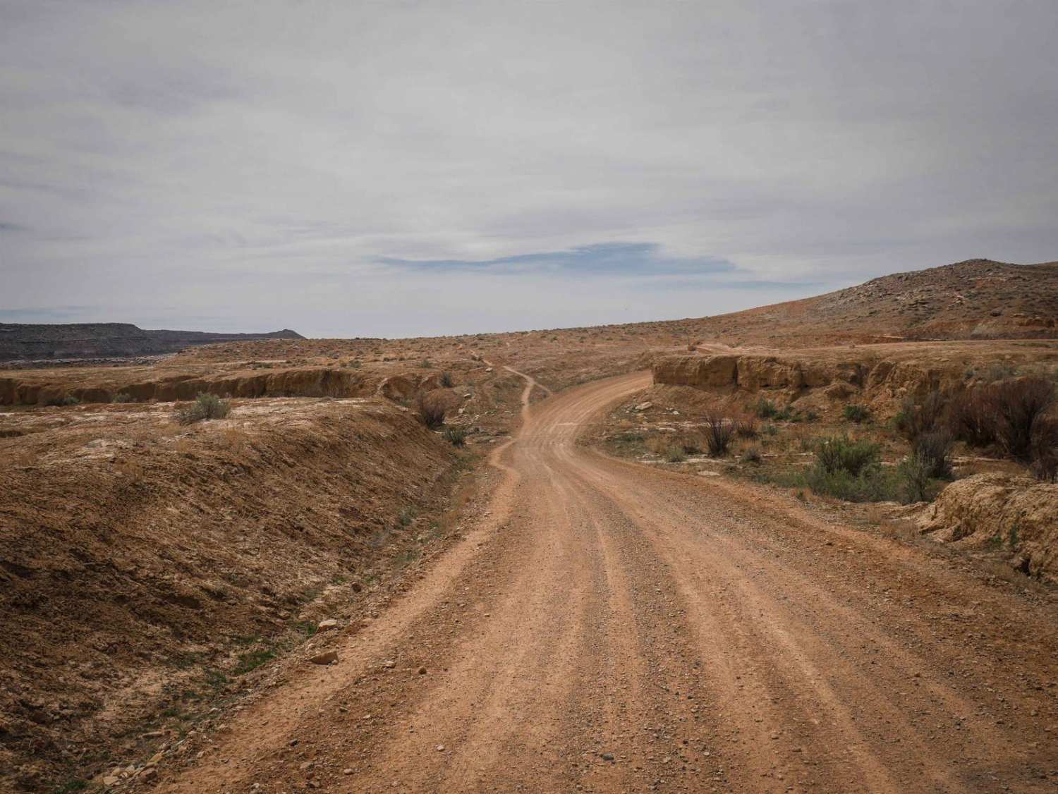
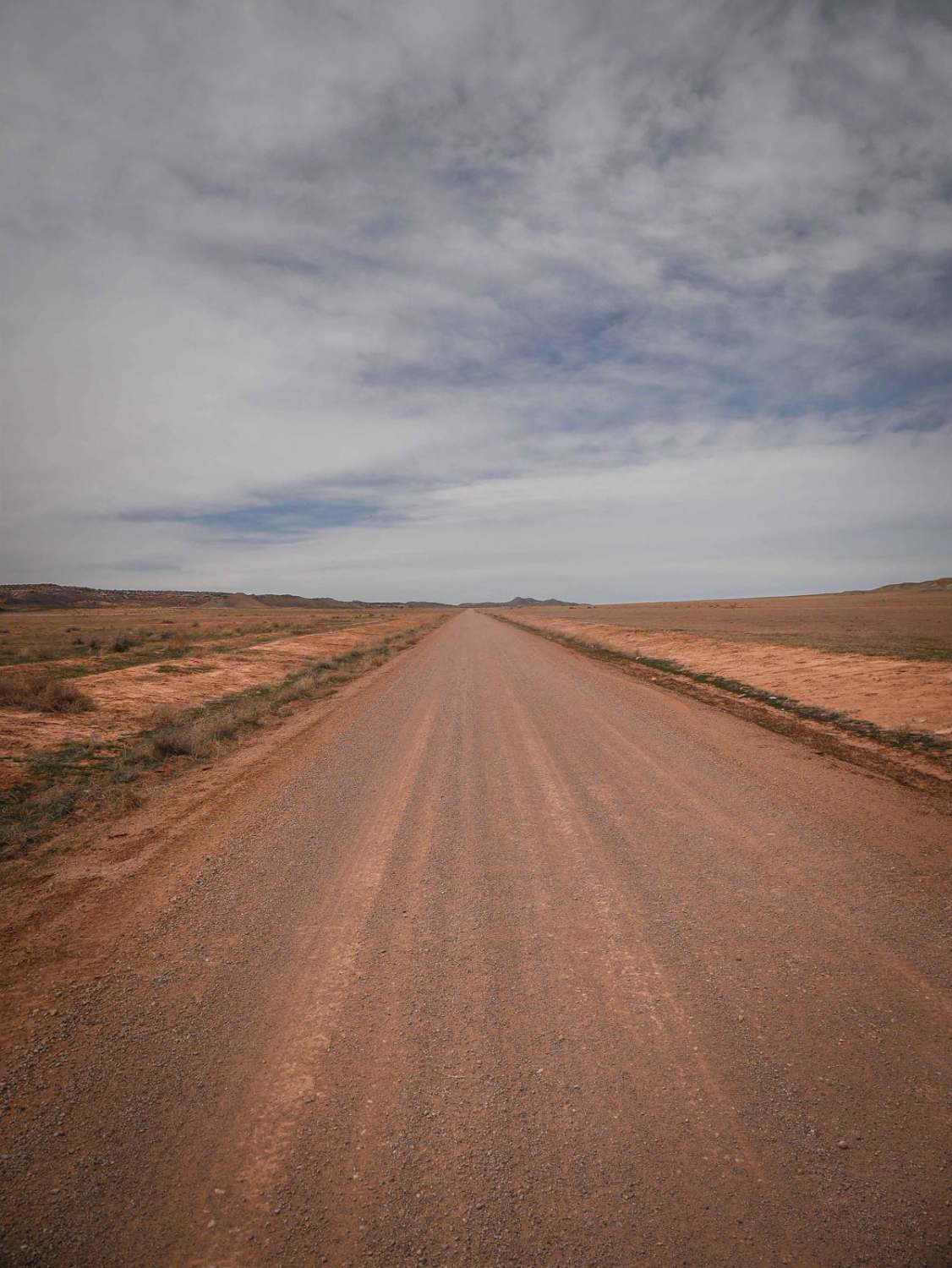
Blue Hills Road is a 14-mile graded gravel dirt road that connects Highway 191 to Floy Wash Road. It's an easy connecter if you want to go from Moab to Whitewash without going around on I-70. The east end starts at 191 just south of the Moab airport and 17 miles north of the town of Moab. It crosses a train track and a cattle grate and continues east through rolling hills, grassy valleys, and along a powerline. The road is mostly flat, with a few steeper hill climbs once you get up next to the powerlines. It's smooth and graded and mostly straight, with only a couple of curvier sections. There are also a couple of spots that dip, but they are mostly signed before you get to them. It's passable for almost any vehicle--2WD, big RVs, and motorhomes. You'll likely see cattle and can see the red sandstone hills of Moab and the Abajo Mountains. There is lots of easy camping in the grassy valleys on the east side right after you start the route. These are good spots if you are looking to be away from the camping crowds that camp closer to the town of Moab. The whole route takes about 45 minutes in an F350/truck camper.
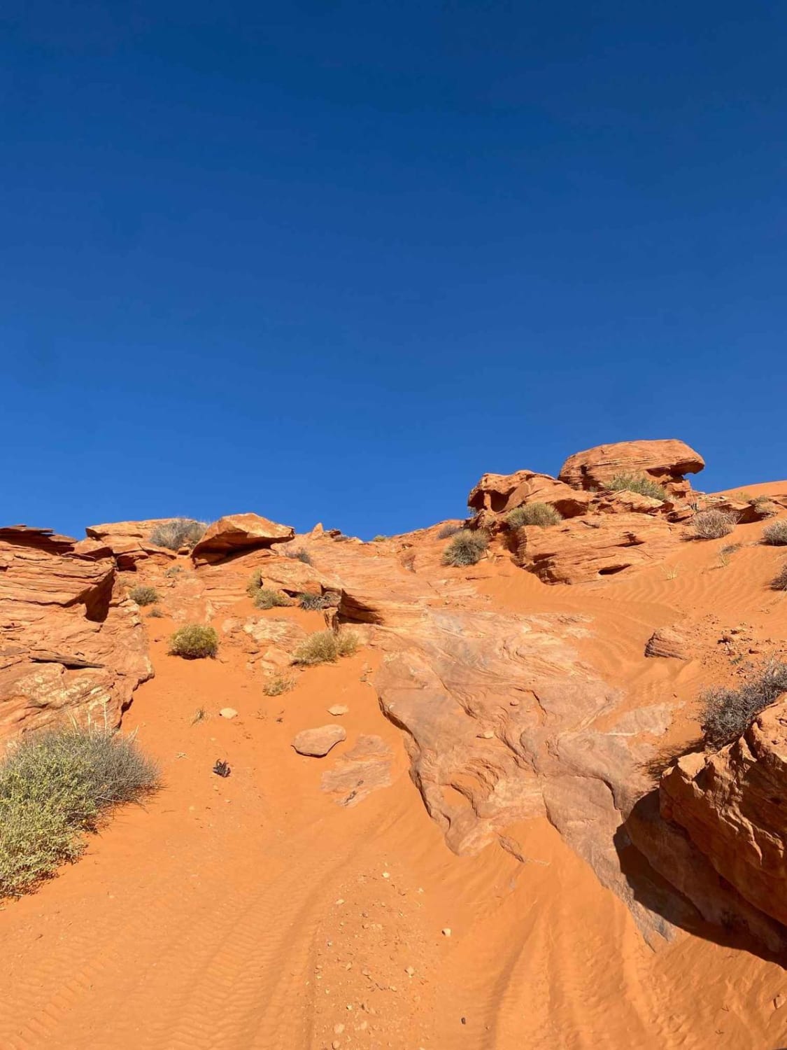
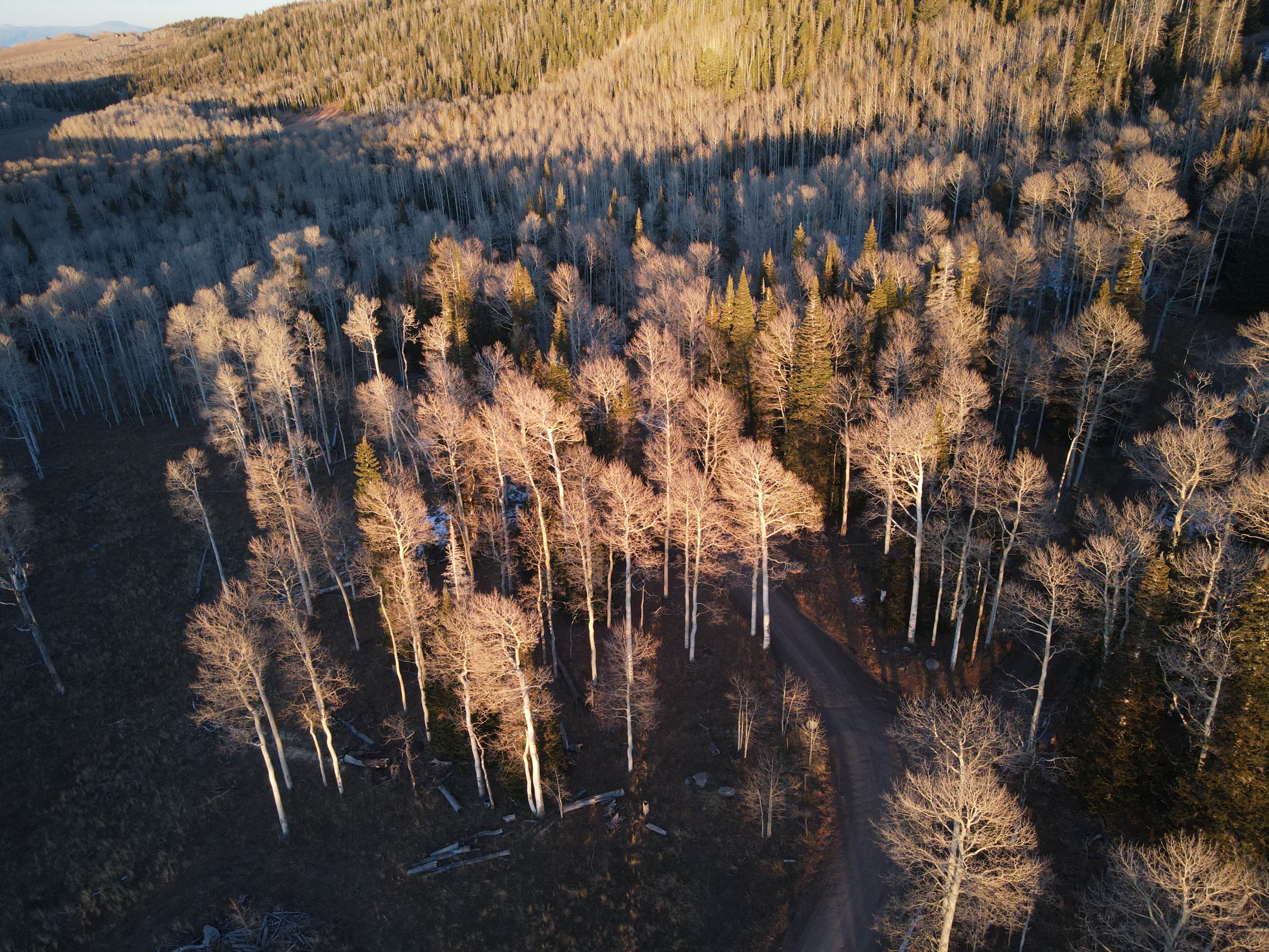
Photos of Blue Hills Road
Difficulty
This is an easy graded road. It has a couple of steeper and sharper turns to get through the ravines and valleys, but overall is really easy and passable for any vehicle.
Status Reports
Blue Hills Road can be accessed by the following ride types:
- High-Clearance 4x4
- SUV
- SxS (60")
- ATV (50")
- Dirt Bike
Blue Hills Road Map
Popular Trails
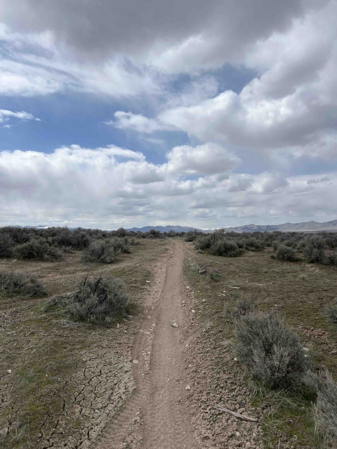
Sage Speedway
North Turkey Knob - BLM15210
The onX Offroad Difference
onX Offroad combines trail photos, descriptions, difficulty ratings, width restrictions, seasonality, and more in a user-friendly interface. Available on all devices, with offline access and full compatibility with CarPlay and Android Auto. Discover what you’re missing today!
