Bobsled Loop
Total Miles
1.5
Technical Rating
Best Time
Spring, Summer, Fall, Winter
Trail Type
60" Trail
Accessible By
Trail Overview
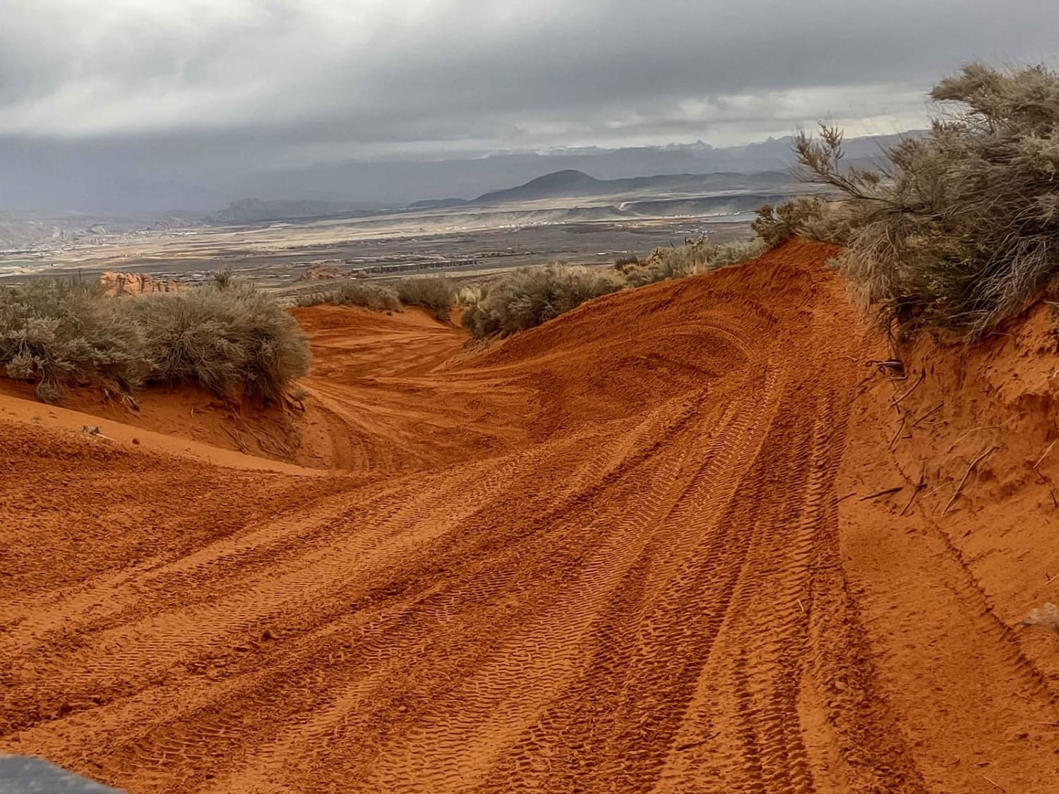
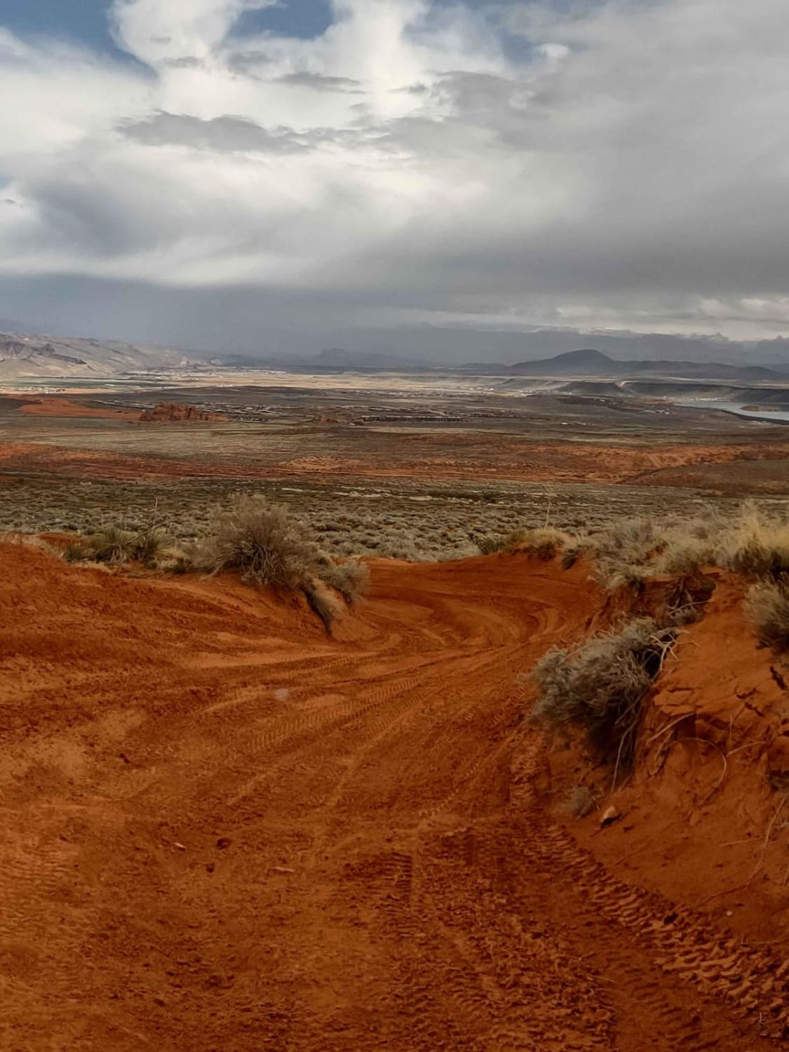
If ever a trail should be "one way," it's this one! To enjoy it the most, have someone in your group go down and ensure no one is coming up, and then you can fly down through this bobsled trail. It's got high corners and tight turns, and it's all banked perfectly for a quick run. Beware, people sometimes come up the trail instead of going down. To run it in the "right" direction, go north from West Rim Boulevard, and when you get to the Y, stay left. After you finish the bobsled, turn right and come back up on the eastern leg of the loop. This is a fun trail! Local maps rate Bobsled as a 5, but in the OnX rating system, this portion of Bobsled is a 3. Nothing technical, as long as you can hold the corners. Across the bottom of the loop, there are some great whoops, and when you head back up (south) on the other leg of the Y, you find some of the fantastic rock formations Sand Hollow is famous for. Starting Feb 2023, Utah began enforcement of its new law, which requires an online education course for all off-roaders. The free course is available online. Google "Utah OHV Education Course," and the free test will appear. It's an easy test that will only take 15-30 minutes, and it's required for all off-roaders, Jeeps, SXSs, dirt bikes, and ATVs. Kids under the age of 18 will have to take the Youth Education Test at the same site. After completing the test, print out the certificate to carry with you, showing you have completed the course. We have taken it; it has good reminders about trail etiquette and preservation.
Photos of Bobsled Loop
Difficulty
Tight, deep corners and high banks allow good speed. There are rocks in a couple of places buried in the sand, so watch for those. Watch for people running the track backwards.
Status Reports
Bobsled Loop can be accessed by the following ride types:
- SxS (60")
- Dirt Bike
Bobsled Loop Map
Popular Trails
Notch Peak Overlook and Amasa Basin
Beaver Creek Ridge Trail
Olsen - Clear Creek Trail
Chicken Corners
The onX Offroad Difference
onX Offroad combines trail photos, descriptions, difficulty ratings, width restrictions, seasonality, and more in a user-friendly interface. Available on all devices, with offline access and full compatibility with CarPlay and Android Auto. Discover what you’re missing today!
