Boulder Swale ATV Trail-NFS34022
Total Miles
4.7
Elevation
3,203.00 ft
Duration
0.75 Hours
Technical Rating
Best Time
Summer, Fall, Spring
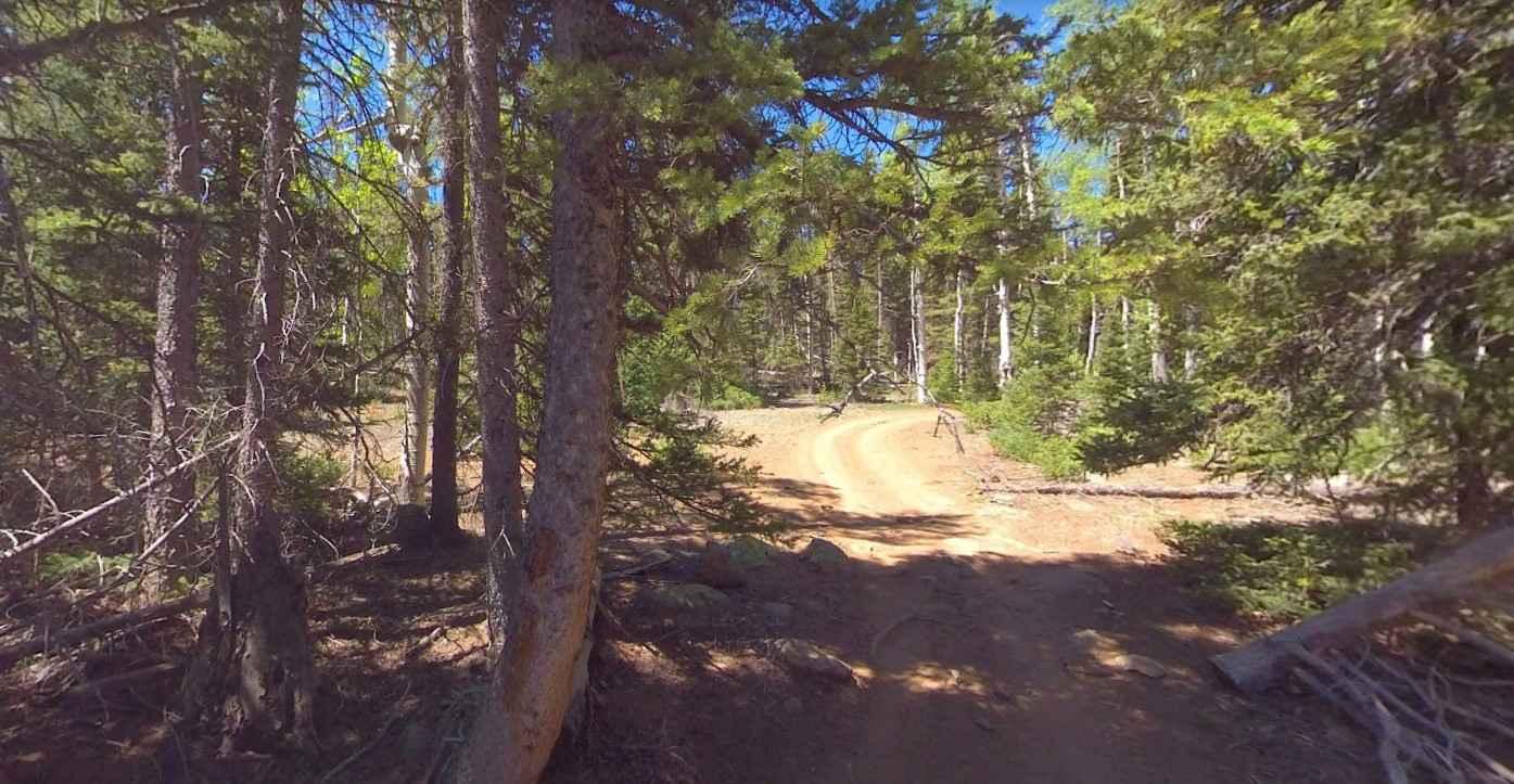
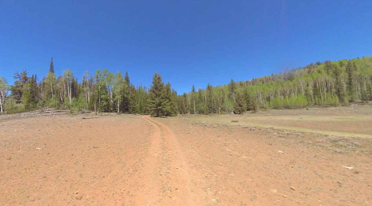
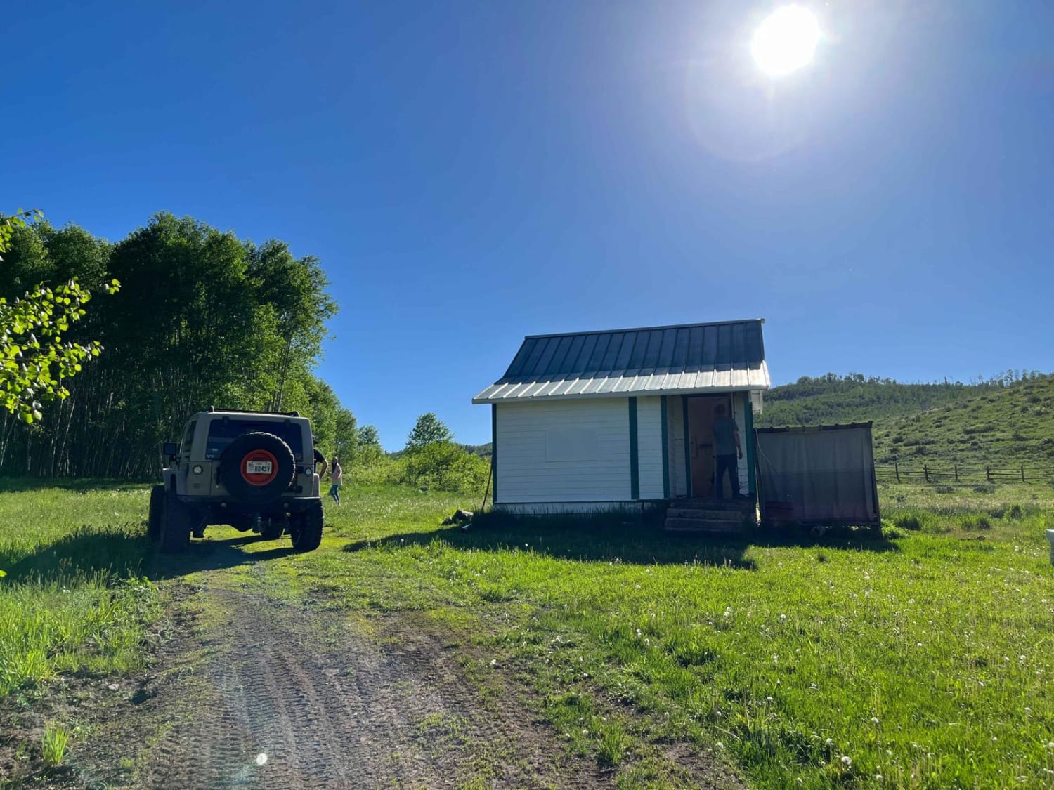
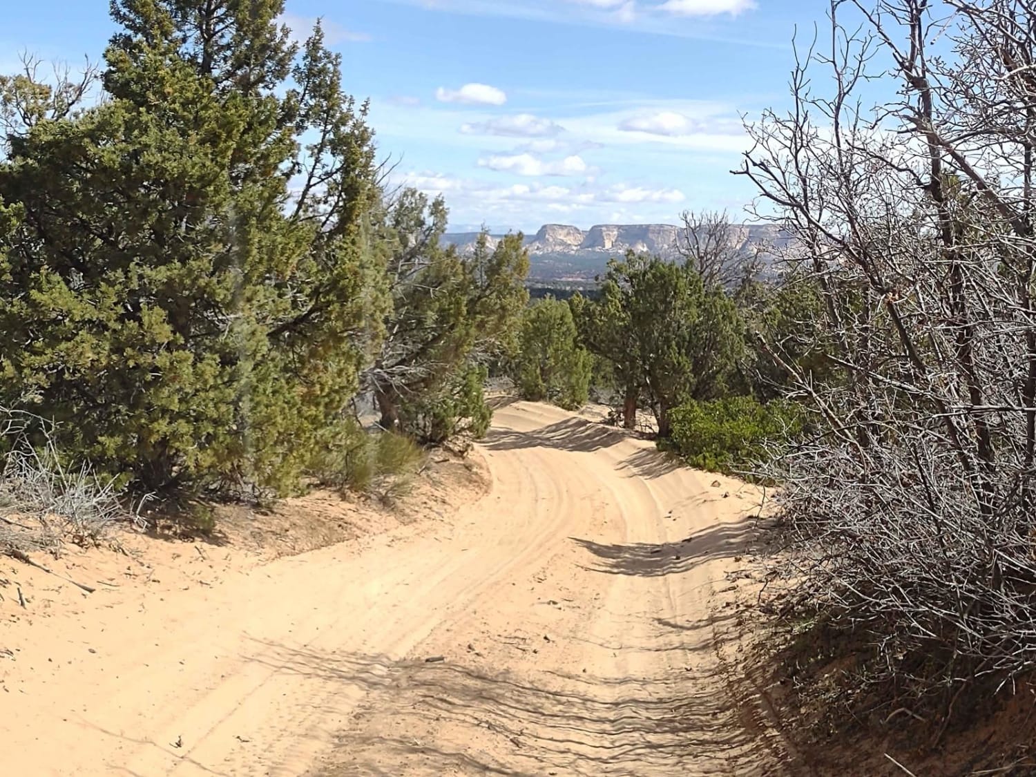
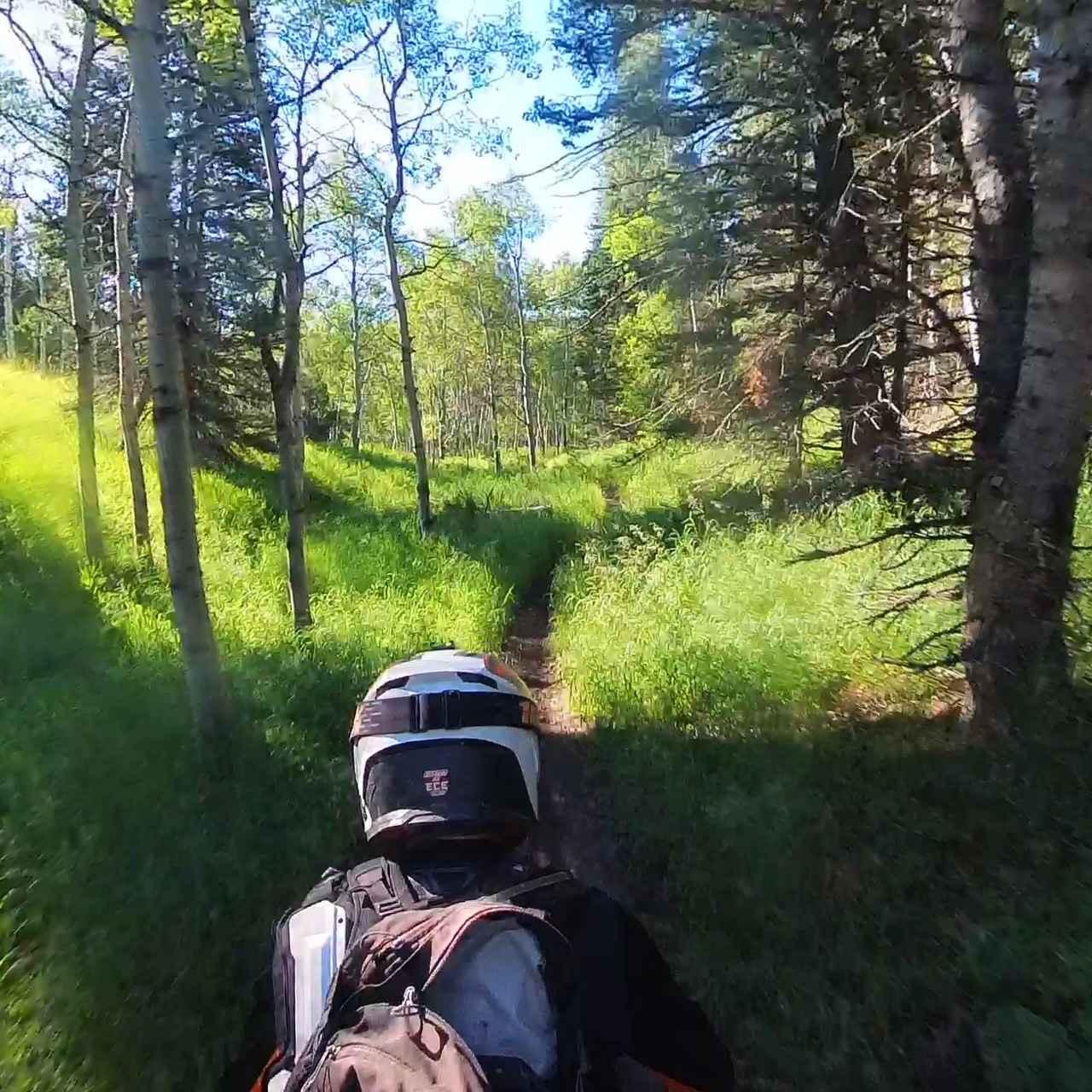
Trail Overview
Boulder Swale ATV Trail-NFS34022 is a 4.7-mile point-to-point trail rated 4 of 10 located in Garfield County, Utah, and within the Dixie National Forest Escalante Ranger District. This trail is restricted to vehicles 50 inches or less. It is a steep and rocky trail that was once used by pioneers to transport cheese to the marketplace in Richfield. This is a high-altitude trail running between 9,600 and 10,000 feet. You will pass by Dry Lake and Black Lake and intersect the Great Western Trail running from Arizona to Idaho. Be prepared for cool to cold weather year-round. The trail crosses through dense forest with rocky trails and open alpine meadows. Take your time on this trail; corners come up fast and unexpectedly in some areas. This trail will typically not open for use until late spring or early summer and will close after the first significant snowfall. There is no cell phone service in this area. The nearest services are in Boulder.
Photos of Boulder Swale ATV Trail-NFS34022
Difficulty
The trail consists of loose rock, dirt, and sand with some slick rock surfaces. There's some erosion; expect washes, gulches, and rock steps no higher than 18 inches. 4WD is required. Good driving skills are a plus.
Popular Trails
Elk Valley Guard Station
Mansard Trail North (BLM 104)

Bjorkman Hollow - FR 70092
Tibble Fork (2041)
The onX Offroad Difference
onX Offroad combines trail photos, descriptions, difficulty ratings, width restrictions, seasonality, and more in a user-friendly interface. Available on all devices, with offline access and full compatibility with CarPlay and Android Auto. Discover what you’re missing today!