Bridger Jack Mesa
Total Miles
16.3
Technical Rating
Best Time
Spring, Summer, Fall
Trail Type
Full-Width Road
Accessible By
Trail Overview
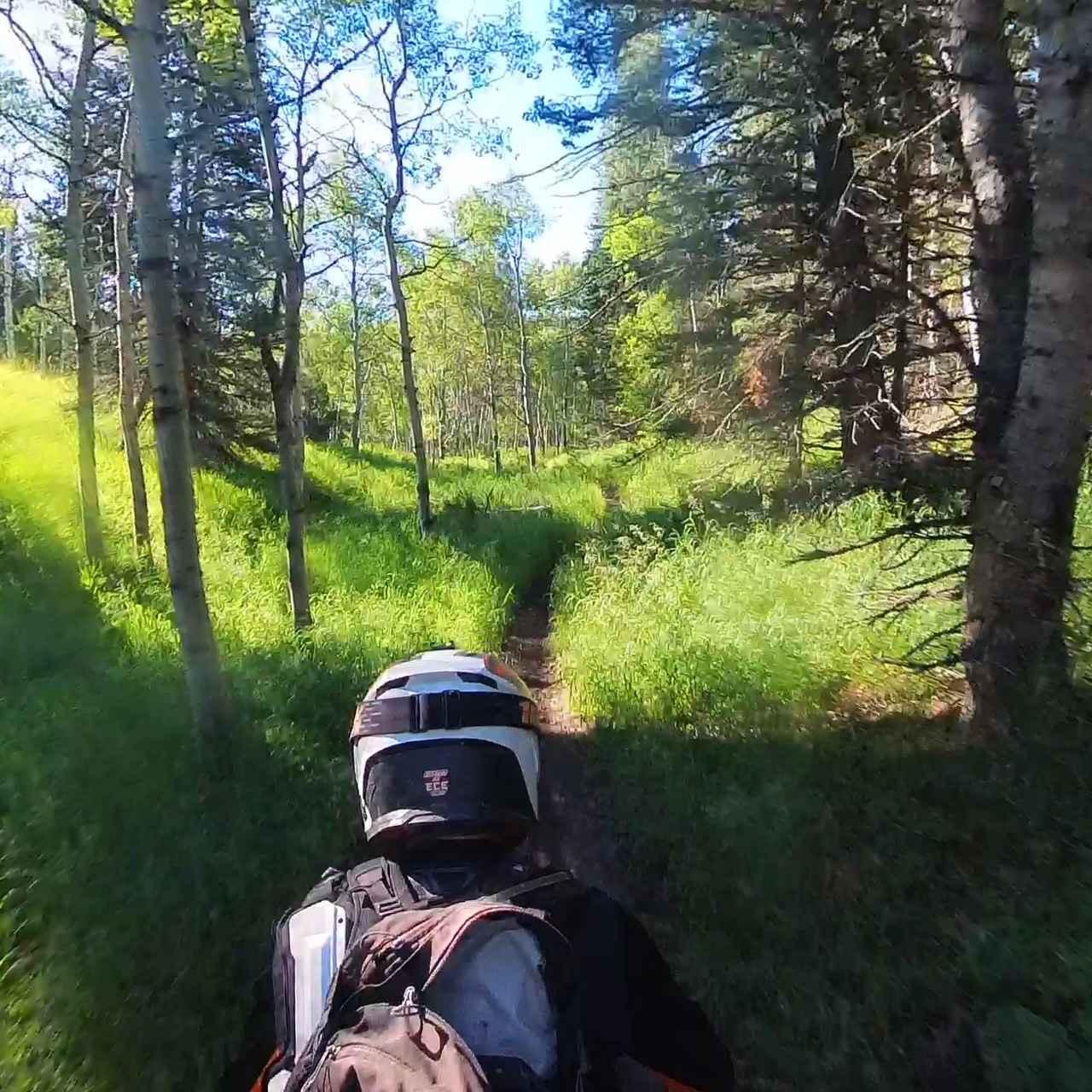
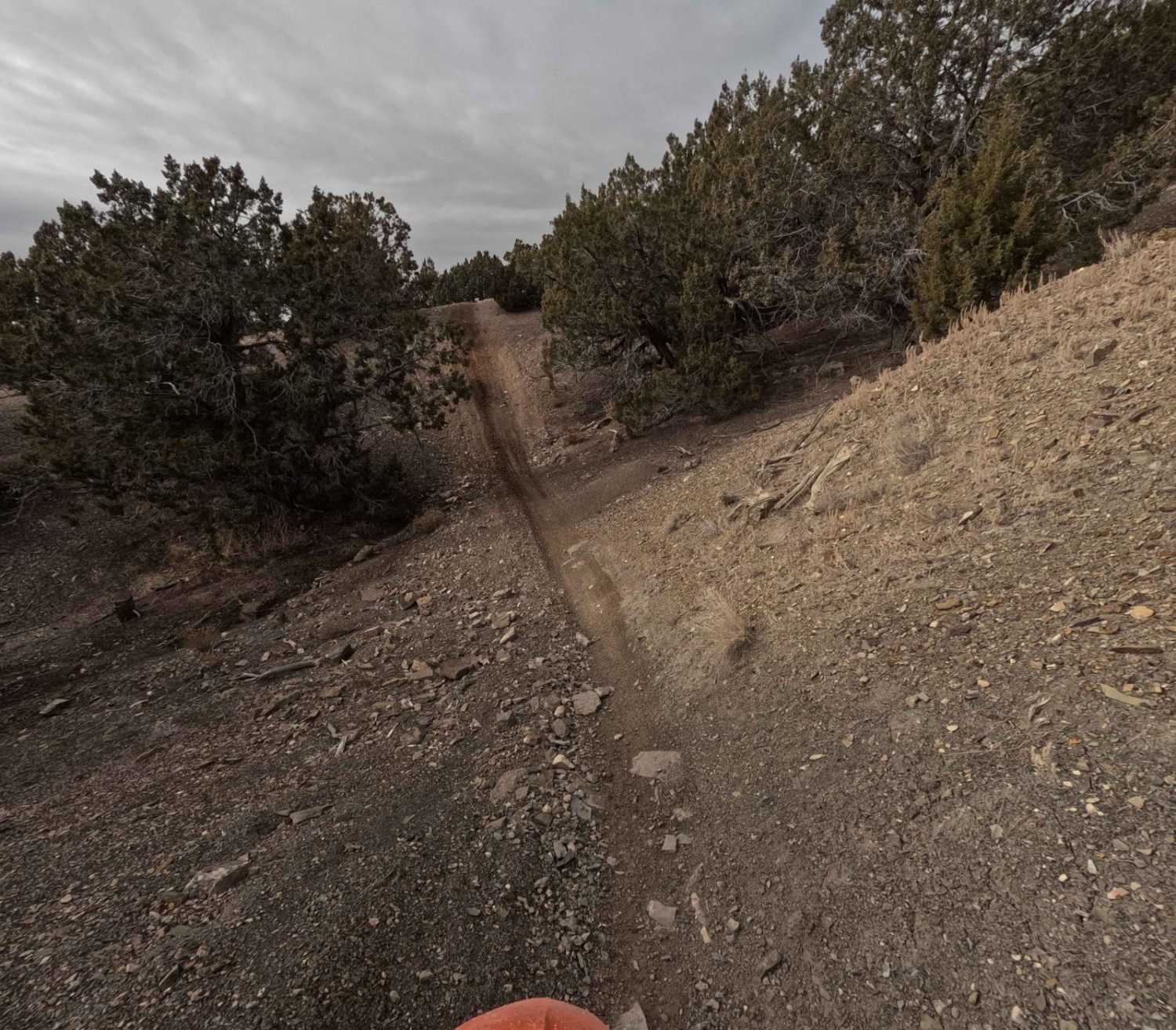
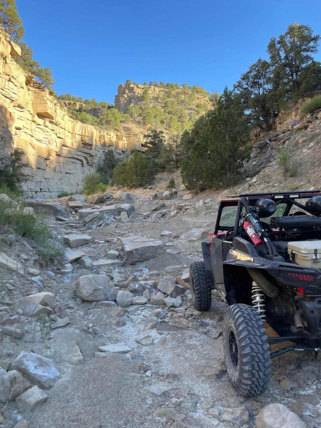
Bridger Jack Mesa is a 16-mile point-to-point trail rated 3 of 10 located within the Bear Ears National Monument. The trail consists mostly of hard-pack dirt, sand, and a few rocky sections. From the staging area at the intersection of Park Highway and Beef Basin Road head west until you cross the cattleguard then turn immediately sharp right. This is the beginning of the Bridger Jack Mesa trail. 16 miles later the trail will end at the intersection with Bridger Jack Road. Sections of the trail can be quite narrow and may challenge drivers of full-size rigs. Several areas along the trail which have large flat rock faces are popular with the rock-climbing community. The Bridger Jack Mesa trail is located in San Juan County Utah approximately 35 miles North West of Monticello. The plateau above is a designated Wilderness Study Area (WSA) bordered on the west by this trail and on the east by Bridger Jack Road. Vehicular travel on the plateau is prohibited. The Wilderness Study Area (WSA) is an elongated unit about 10 miles long from north to south, and a little more than 2 miles from east to west at the widest point. Located in the Canyonlands section of the Colorado Plateau Physiographic Province, Bridger Jack Mesa is bounded by spectacular orange-red cliffs. The WSA is in a natural state and has outstanding opportunities for solitude and primitive recreation. The nearest services are in Monticello to the south and Moab to the north. The closest hospital is the San Juan Hospital in Monticello. Much of the Bears Ears area does not have cell service.
Photos of Bridger Jack Mesa
Difficulty
Trail consisting of loose rocks, dirt, and sand with some slick rock surfaces, mud holes possible, no steps higher than 12". Narrow sections may prove challenging for full-size vehicles.
History
The story of Bridger Jack is that he was a Paiute (also spelled Piute) Indian medicine man who attempted to cure William Posey's (1923's "Last Indian War") sick child; the boy died and Bridger Jack was killed for his failure.
Status Reports
Bridger Jack Mesa can be accessed by the following ride types:
- High-Clearance 4x4
- SUV
- SxS (60")
- ATV (50")
- Dirt Bike
Bridger Jack Mesa Map
Popular Trails

Frisco Peak Road

Tibble Fork (2041)
The onX Offroad Difference
onX Offroad combines trail photos, descriptions, difficulty ratings, width restrictions, seasonality, and more in a user-friendly interface. Available on all devices, with offline access and full compatibility with CarPlay and Android Auto. Discover what you’re missing today!


