Bull Creek Pass Road
Total Miles
10.7
Elevation
3,204.95 ft
Duration
--
Technical Rating
Best Time
Spring, Summer, Fall
Trail Overview
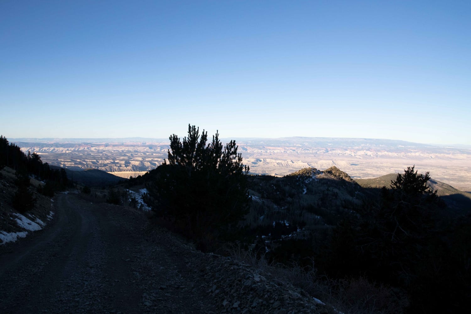
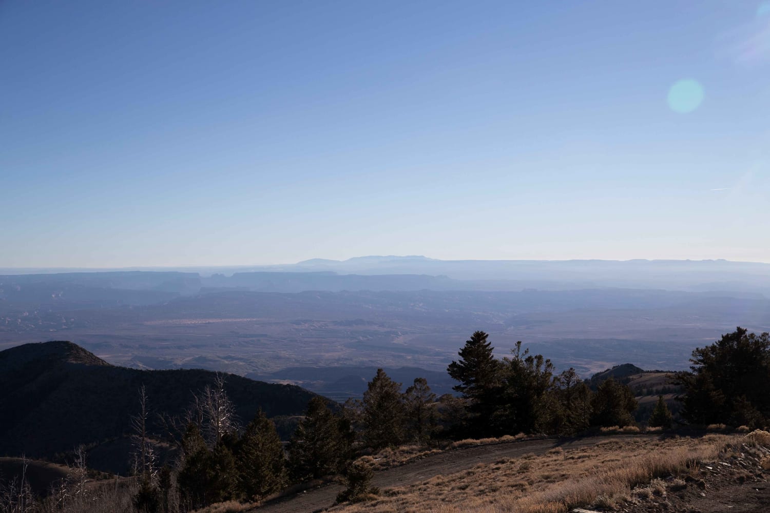
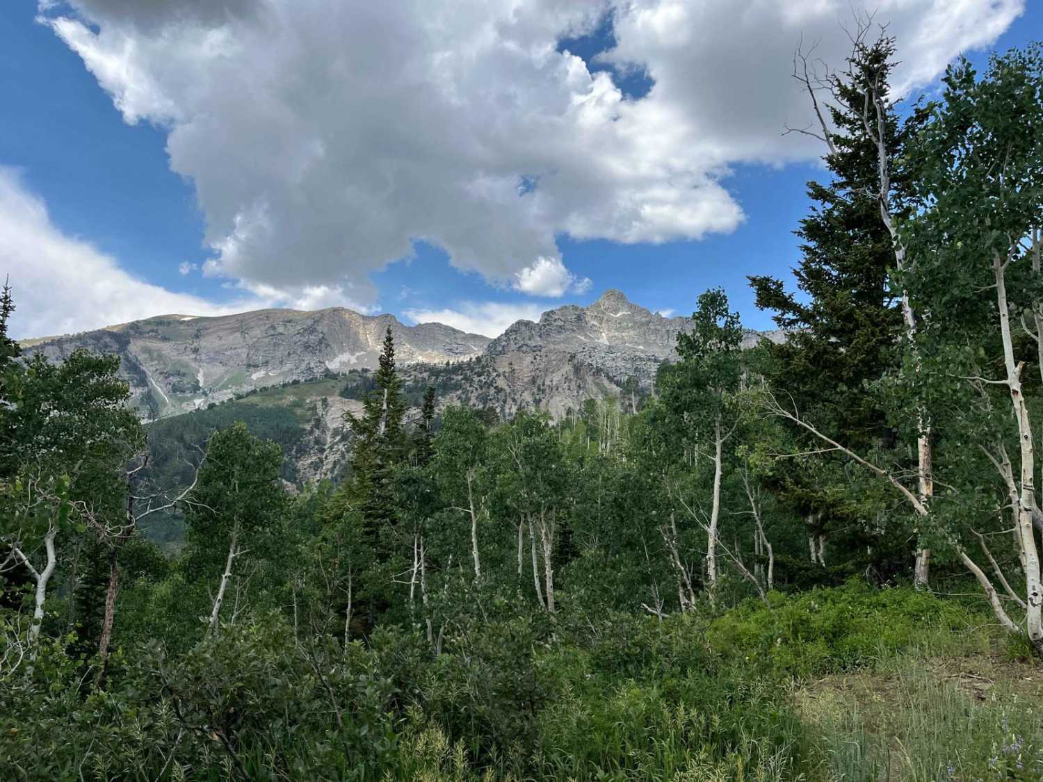
Bull Creek Pass Road is situated on the Northern end of the Henry Mountains where it passes from the West side and traverses to the East side where it turns South and ends in the Central portion of the mountain range. Most of the road is wide enough for a single vehicle with several areas vehicles can crowd both sides to pass. The Henry mountain range has very steep grades. This road is cut into the side of these grades and can be a bit unsettling in the mud and snow. One wrong move and a vehicle could quickly roll to the bottom. The area is covered in Sagebrush, Cedar, Pine, and Quaking Aspen trees. It is a limited draw Mule Deer hunting area. There are several large bucks in the area and is a great place for wildlife viewing. There is also a heard of free-range Bison in the area.
Photos of Bull Creek Pass Road
Difficulty
The road is cut into some steep side hills.In the Spring, Fall and early Winter, mud and snow can make these roads much more dnagerous.
Status Reports
Popular Trails
Red Creek Road (FR30078)
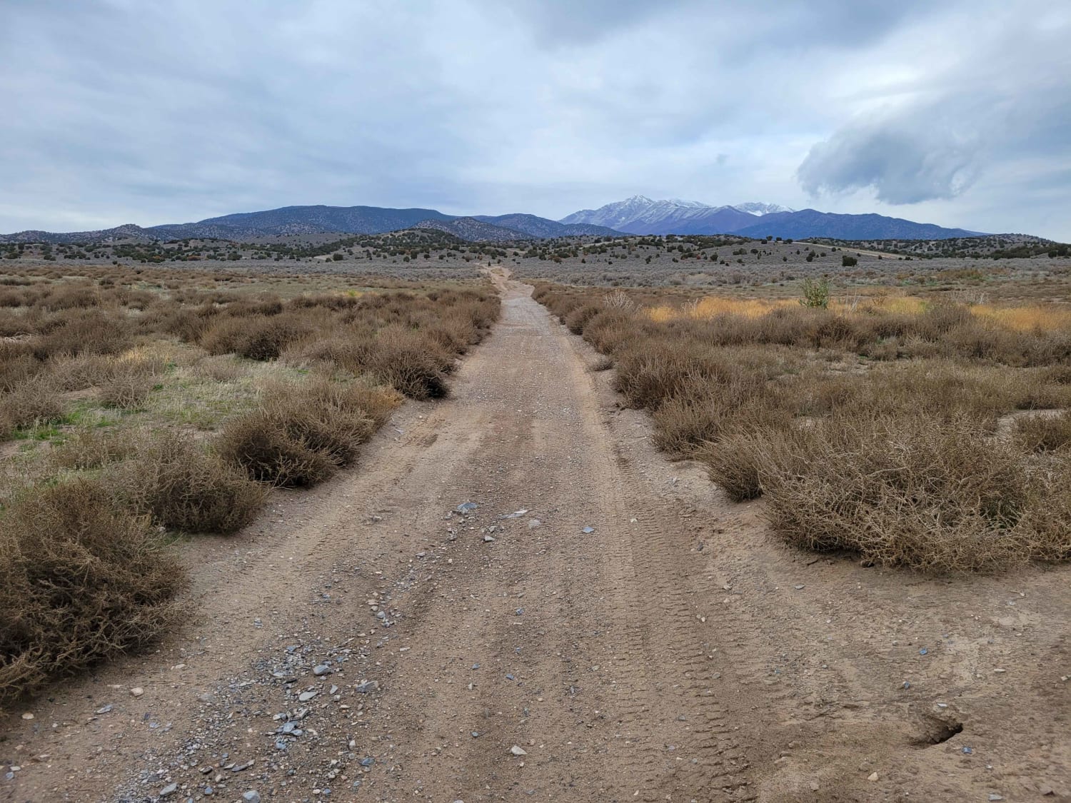
Straight Shot
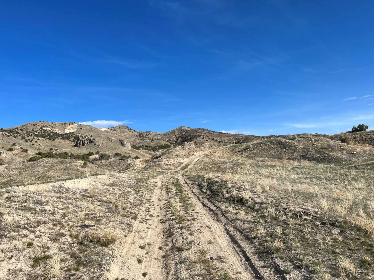
Mining Road
The onX Offroad Difference
onX Offroad combines trail photos, descriptions, difficulty ratings, width restrictions, seasonality, and more in a user-friendly interface. Available on all devices, with offline access and full compatibility with CarPlay and Android Auto. Discover what you’re missing today!
