Burnt Canyon-FR30004
Total Miles
7.7
Technical Rating
Best Time
Spring, Fall, Summer, Winter
Trail Type
Full-Width Road
Accessible By
Trail Overview
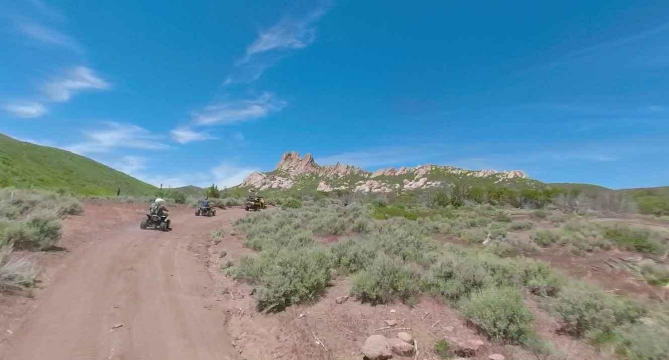
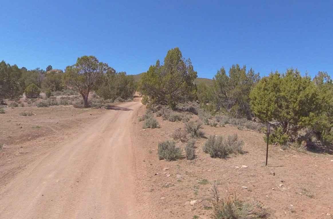
Burnt Canyon-FR30004 is a 7.5-mile trail rated 2 of 10 located in the Dixie National Forest in the Pine Valley Ranger District. This trail is one of several used to loop around Maple Ridge and Lost Peak. It is generally accessed from the parking area at the Enterprise Reservoir by using Veyo Shoal Creek Trail-FR30006. The trail is predominately a dirt track that winds through pinyon pines and desert scrub brush flats. Several small creeks cross the track which typically will be dry most of the year. About halfway through the trail to the north is a series of rock formations known as the Pinnacles with an elevation of more than 6,000 feet. Don't expect cellphone reception in this area and the nearest services are located in Enterprise or Veyo. Visitors to this area will experience scenic vistas and outstanding opportunities for backpacking, horseback riding, and primitive camping. This part of Washington County is rugged and remote. Visitors should plan carefully and be prepared for backcountry travel conditions. This trail is not recommended during winter months as snow tends to accumulate above 5,000 feet.
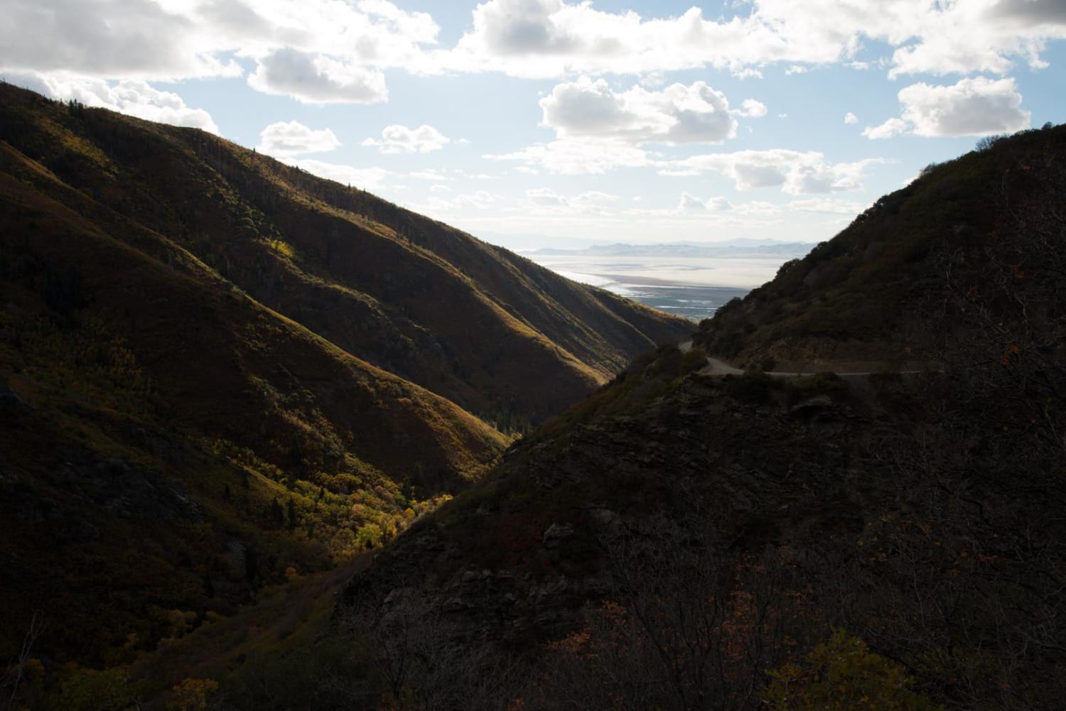
Photos of Burnt Canyon-FR30004
Difficulty
This is a county dirt road with infrequent or light maintenance after rain or snow. High-clearance light-duty 4WD is recommended.
Popular Trails
Milt's Mile Lite
Rose Garden Hill

Spring Desert Road - BLM13410
The onX Offroad Difference
onX Offroad combines trail photos, descriptions, difficulty ratings, width restrictions, seasonality, and more in a user-friendly interface. Available on all devices, with offline access and full compatibility with CarPlay and Android Auto. Discover what you’re missing today!
