Cedar Mountain Overlook Road/UT-206
Total Miles
18.0
Technical Rating
Best Time
Spring, Summer, Fall
Trail Type
Full-Width Road
Accessible By
Trail Overview
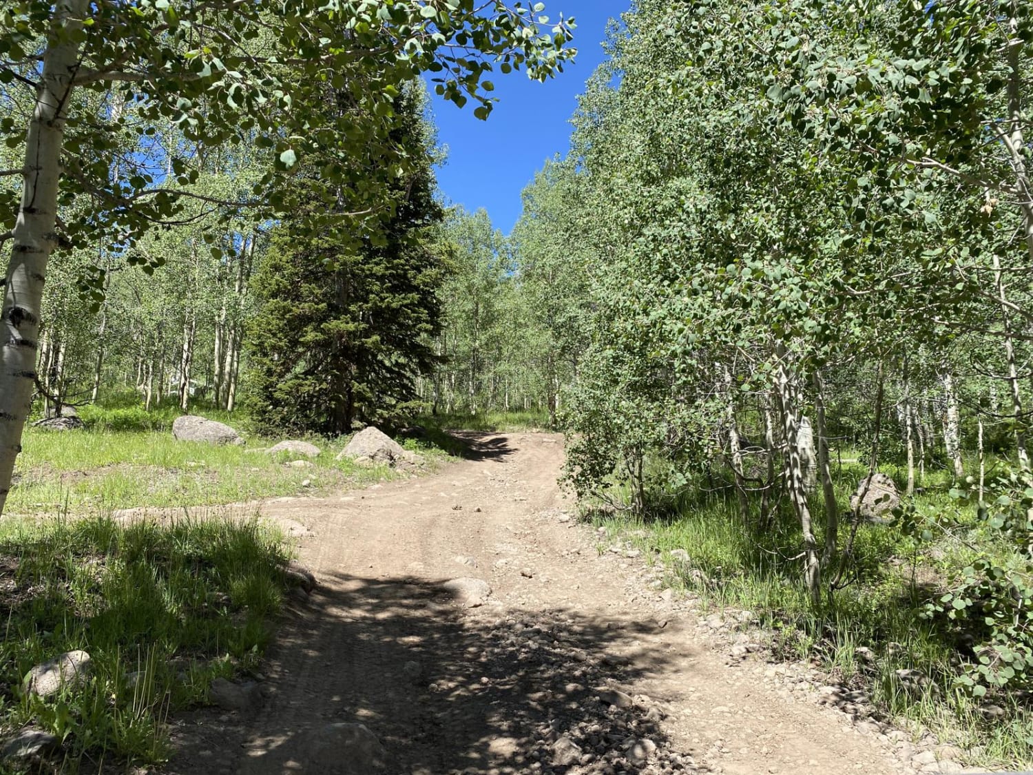
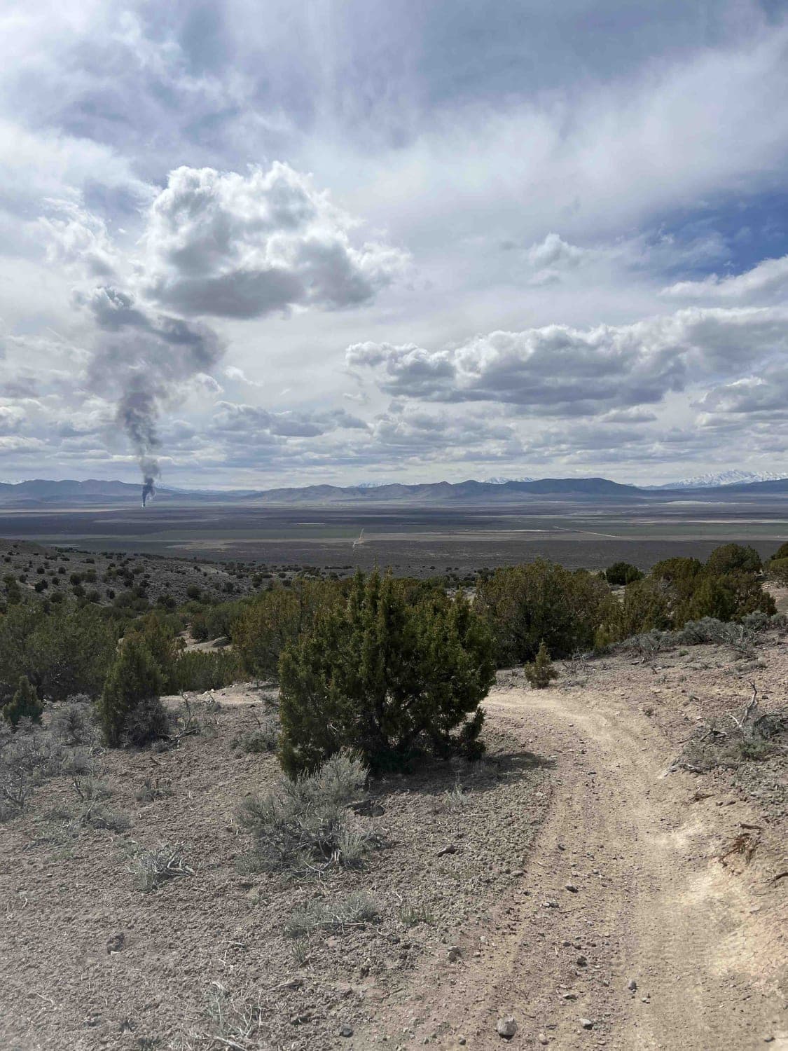
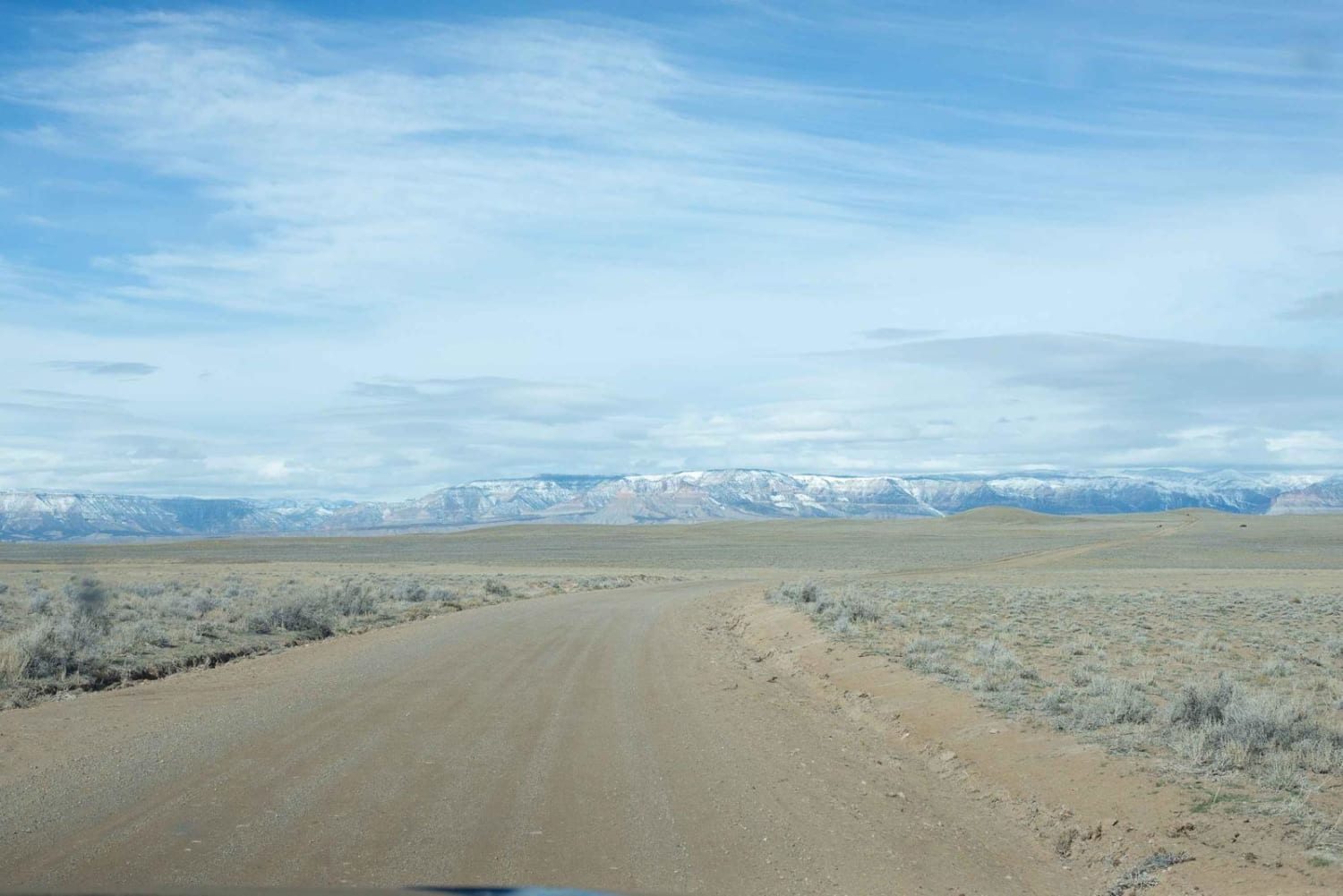
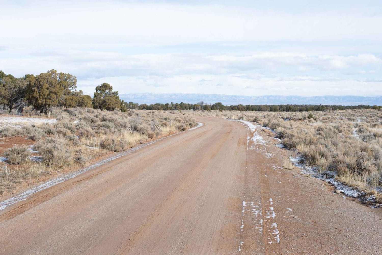
This is a well-graded two-lane dirt road leading to the Cedar Mountain Recreation Area. The road begins near Cleveland, Utah, traveling for about 20 miles to reach the Cedar Mountain Recreation Area. The area overlooks the San Rafael Swell with good views of Mexican Mountain and The Wedge to the south. The road begins in ranchland and open range at 5,800 feet in elevation near Cleveland, slowly ascending through pinion and juniper to 7,659 feet at the Recreation Area. Cedar Mountain Recreation Area includes multiple overlooks, a pit toilet, and a picnic area. There are many dispersed camping sites on BLM land along the road as well as one large area across the road from the picnic area. There's good cell coverage likely due to the cluster of towers nearby. The road can become rutted when wet after rain or snow. The higher portion of the trail may be snowy in the winter. Cleveland, Utah, has a small general store with basic supplies and gas pumps. The Cleveland-Lloyd Dinosaur Quarry National Monument is nearby.
Photos of Cedar Mountain Overlook Road/UT-206
Difficulty
The road can become rutted when wet after rain or snow. The higher portion of the trail may be snowy in the winter.
Status Reports
Cedar Mountain Overlook Road/UT-206 can be accessed by the following ride types:
- High-Clearance 4x4
- SUV
Cedar Mountain Overlook Road/UT-206 Map
Popular Trails

Gates Lake Road

Gypsum Sinkhole

Lakeview Connector
The onX Offroad Difference
onX Offroad combines trail photos, descriptions, difficulty ratings, width restrictions, seasonality, and more in a user-friendly interface. Available on all devices, with offline access and full compatibility with CarPlay and Android Auto. Discover what you’re missing today!


