Cheese and Raisins
Total Miles
3.9
Elevation
1,764.02 ft
Duration
0.5 Hours
Technical Rating
Best Time
Spring, Fall
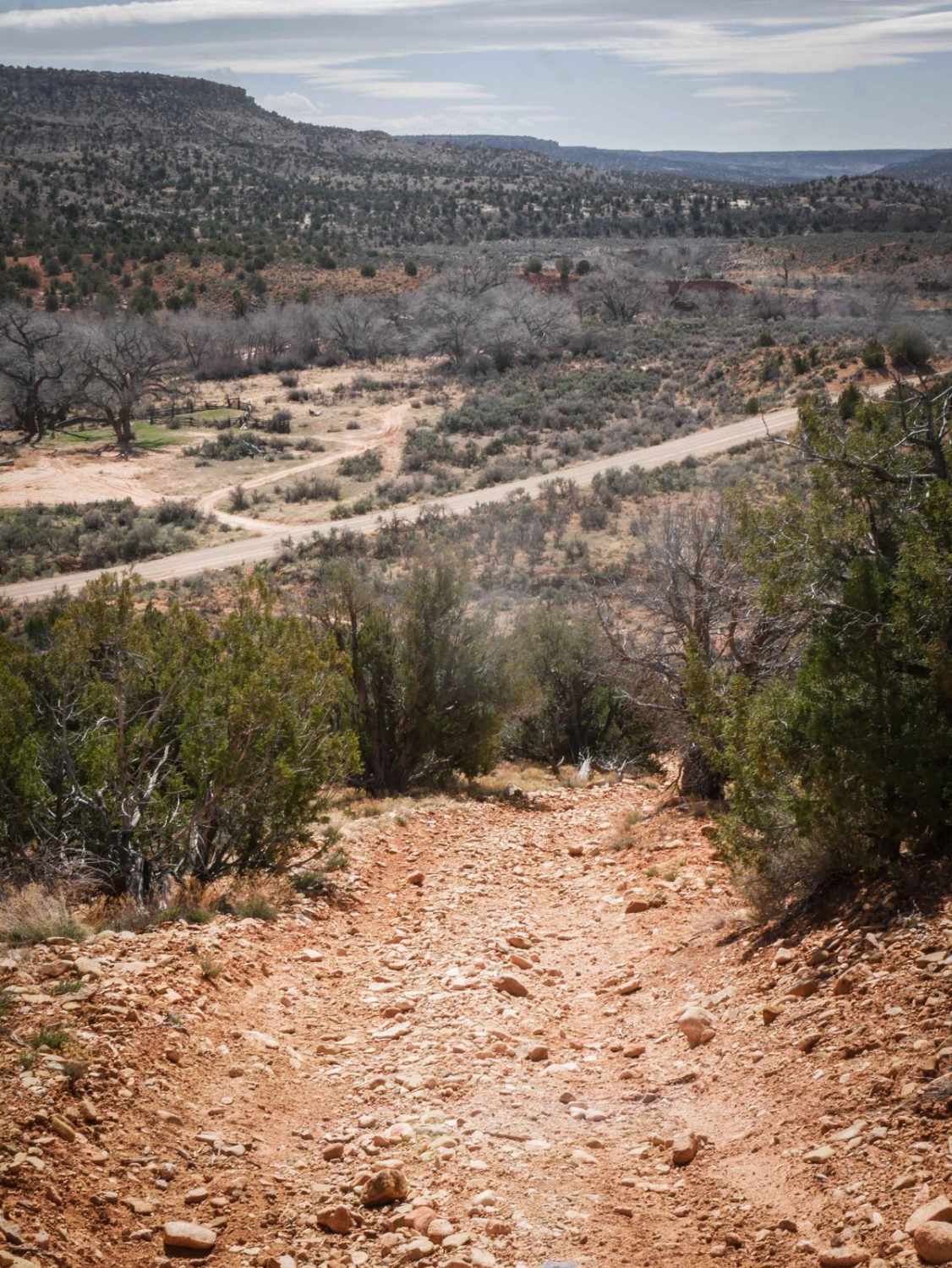
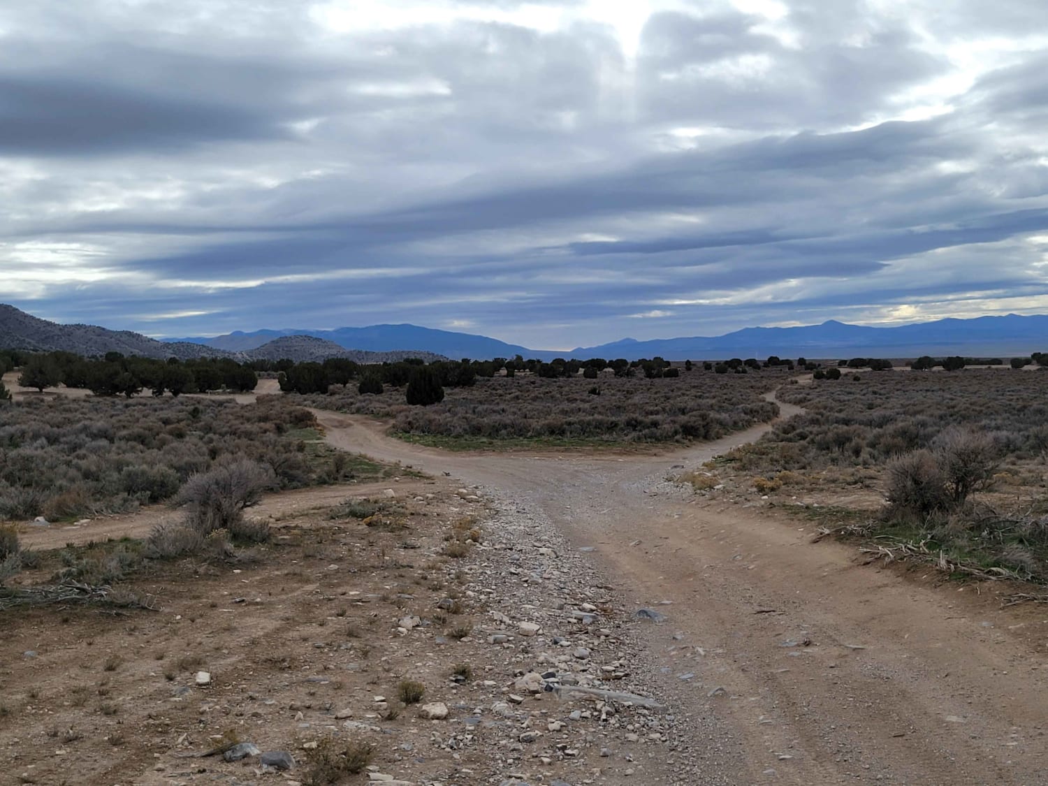
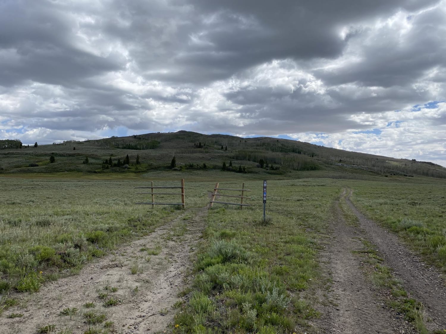
Trail Overview
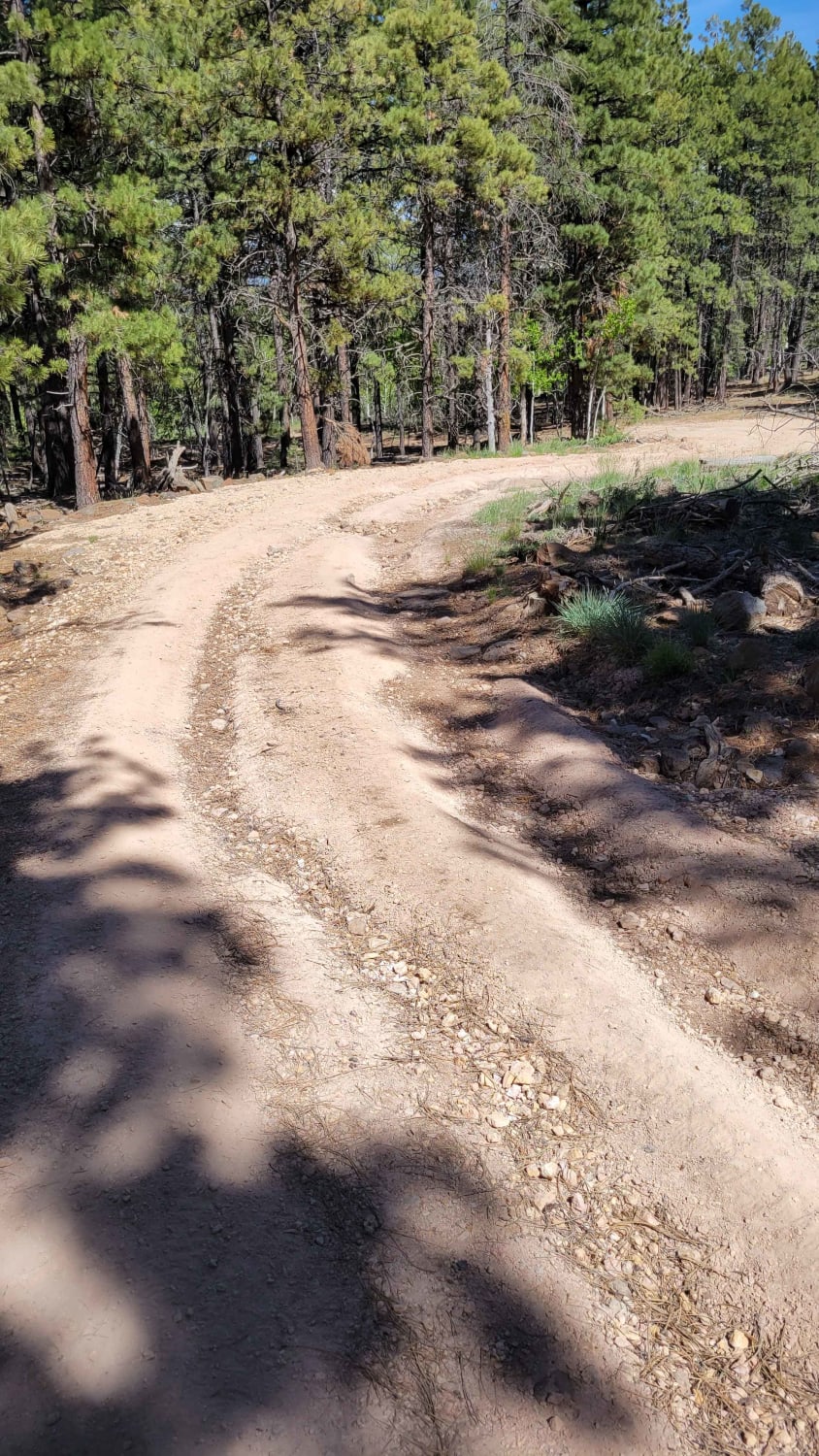
This is a narrower Jeep trail on dirt, through sagebrush and pinyon pine in the Cheese and Raisins Hills. The trail is less trafficked, with ruts and washouts on the side of the trail to watch out for. It has some slab rock and a couple of steeper loose downhills that are full of loose rocks, making it a bit harder. It has primitive sections that are more faint and overgrown where you can easily get off track, but there are still enough tracks to follow it through. It dips down low for ravine crossings where you need high clearance. There's also one small rock ledge under a foot tall. The south end of the trail starts on South Elks Road, and it makes a loop up north to 274 Shumway Mines Road, crossing several other unmarked intersections throughout the 4-mile trail.
Photos of Cheese and Raisins

Difficulty
This is a 3 difficulty for a couple of steeper sections of loose rock, rock slab, narrow spots, ruts and washouts, and primitive route finding.
Status Reports
Popular Trails
Last Chance Road
Black Rock Canyon West to Peak
The onX Offroad Difference
onX Offroad combines trail photos, descriptions, difficulty ratings, width restrictions, seasonality, and more in a user-friendly interface. Available on all devices, with offline access and full compatibility with CarPlay and Android Auto. Discover what you’re missing today!