Chimney
Total Miles
3.5
Technical Rating
Best Time
Spring, Fall
Trail Type
High-Clearance 4x4 Trail
Accessible By
Trail Overview
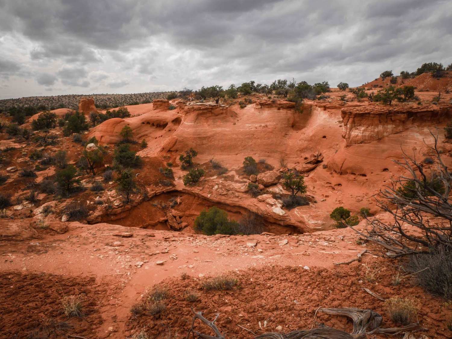
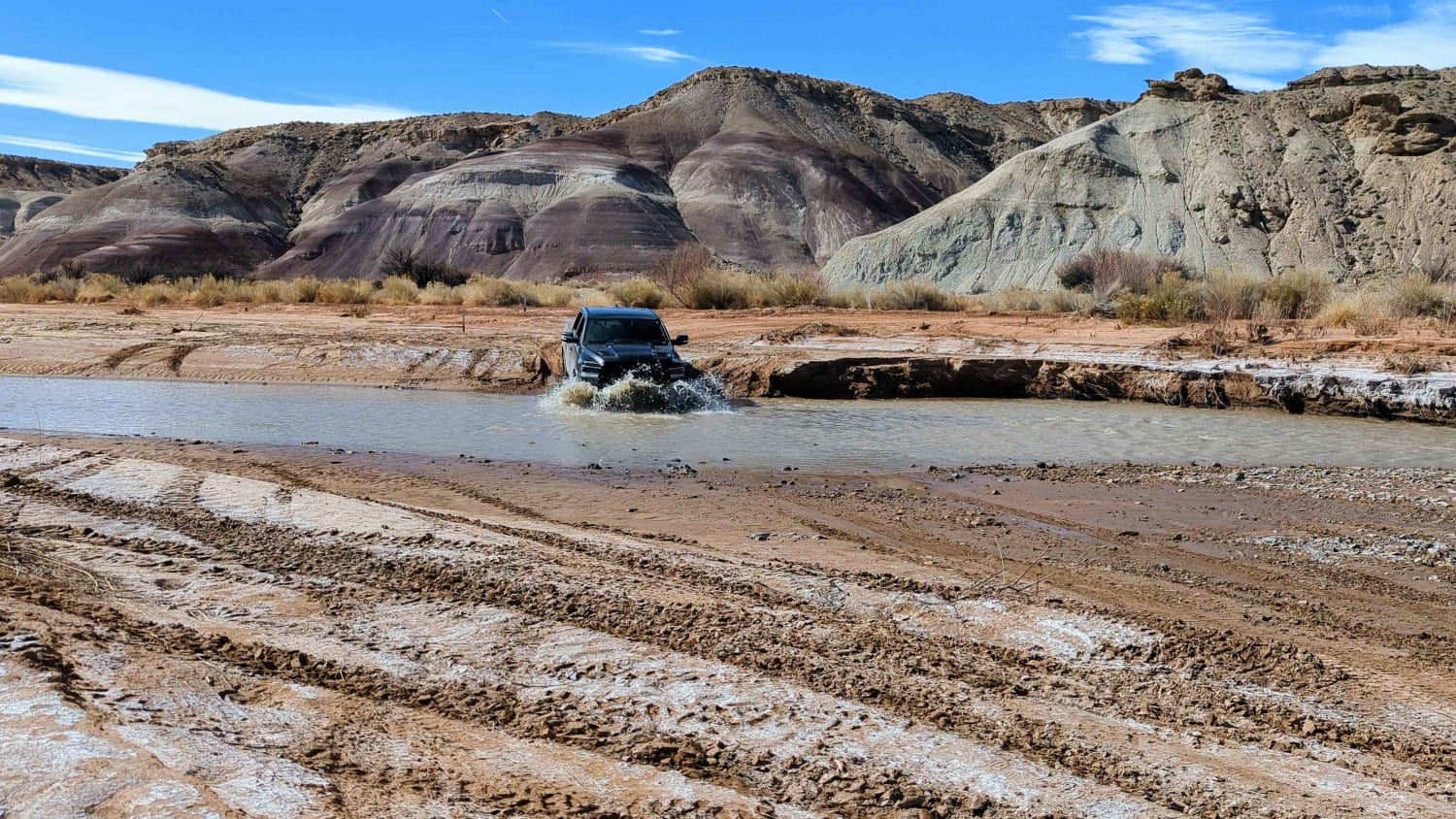
This 4-mile scenic track starts from County Road 240 as a wider dirt trail on top of a desert mesa. As it goes south, it has lots of unmarked intersections for spurs you can explore. The trail is overall really easy but has features such as dips across ravines, wash crossings, tight turns, and ruts. There's a long slab rock section where the trail crosses a huge flat slab of rock at the bottom of a wash, and you have to pick up the trail on the other side of it. It goes around the edge of the mesa, with cool views of the pink sandstone rock formations on the opposite mesa. They are pink sandstone rock towers that look like chimneys. It continues on the rim of the mesa above a canyon with lots of viewpoints. There are rock slab layers across the trail making small ledges under a foot tall. Halfway through, it becomes very primitive and faint, with fewer tracks, and more dips and ruts. There's only barely a track to follow, but it eventually meets up with another 4x4 route.
Photos of Chimney

Difficulty
This trail is a 2 difficulty for faint and narrow spots, big dips, and ruts.
Chimney can be accessed by the following ride types:
- High-Clearance 4x4
- SxS (60")
- ATV (50")
- Dirt Bike
Chimney Map
Popular Trails
Cricket Mountain OHV Route 7

Barney Cove ATV Trail-NPS33014

The onX Offroad Difference
onX Offroad combines trail photos, descriptions, difficulty ratings, width restrictions, seasonality, and more in a user-friendly interface. Available on all devices, with offline access and full compatibility with CarPlay and Android Auto. Discover what you’re missing today!