Clear Creek/Mill Creek - FS #40583, PST15A
Total Miles
1.0
Technical Rating
Best Time
Spring, Summer, Fall
Trail Type
High-Clearance 4x4 Trail
Accessible By
Trail Overview
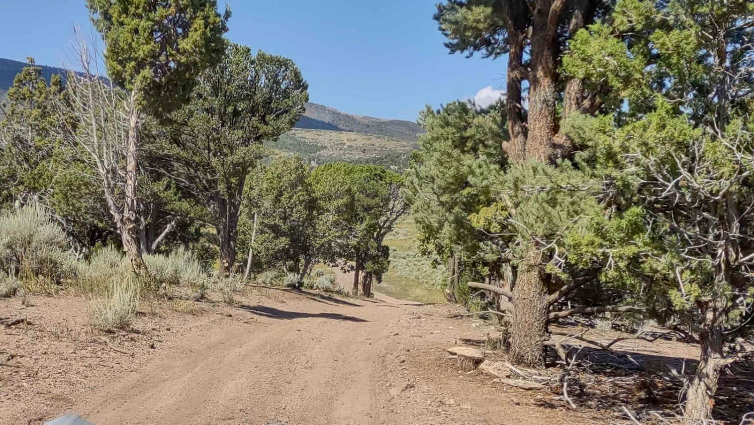
FS #40583 connects you to Trail 40114 and the Shingle Creek Ranger Station and to Mud Flat Clear Creek Trail. It runs parallel to I-70, just south of it, and just west of Highway 89. In some places, the trail will be muddy after rain, and there are some rocks, but it's an easy trail. This trail will be open in the spring, but it connects to trails all the way up to Tip Top that may not be open until July, depending on the snowfall.
Photos of Clear Creek/Mill Creek - FS #40583, PST15A
Difficulty
Possible mud is the only obstacle on this easy-going trail.
Status Reports
Popular Trails

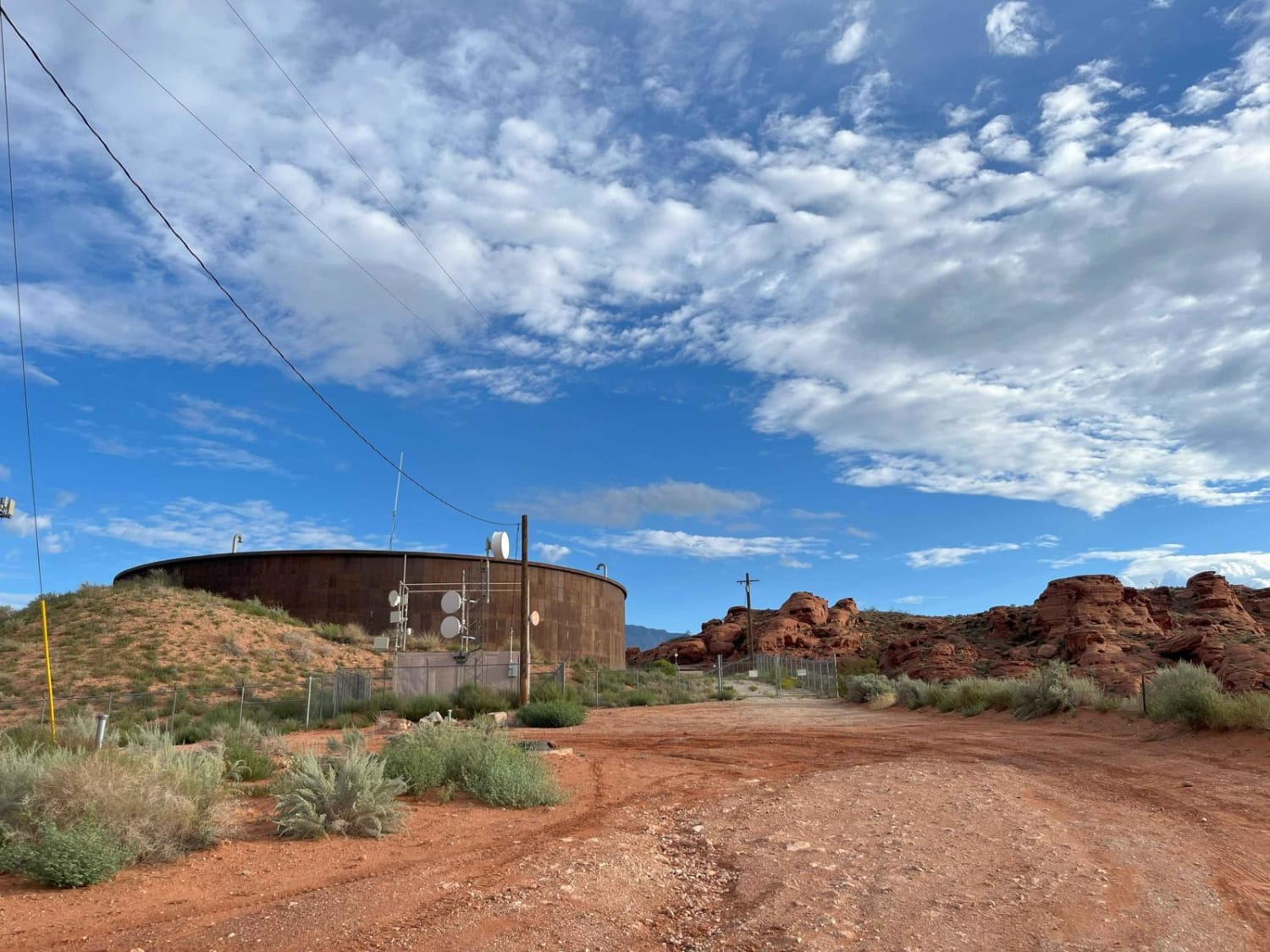
Water Tower Overlook

Parker Mountain 17
The onX Offroad Difference
onX Offroad combines trail photos, descriptions, difficulty ratings, width restrictions, seasonality, and more in a user-friendly interface. Available on all devices, with offline access and full compatibility with CarPlay and Android Auto. Discover what you’re missing today!


