Coyote Valley Road-BLM431
Total Miles
4.0
Technical Rating
Best Time
Summer, Spring, Fall, Winter
Trail Type
Full-Width Road
Accessible By
Trail Overview
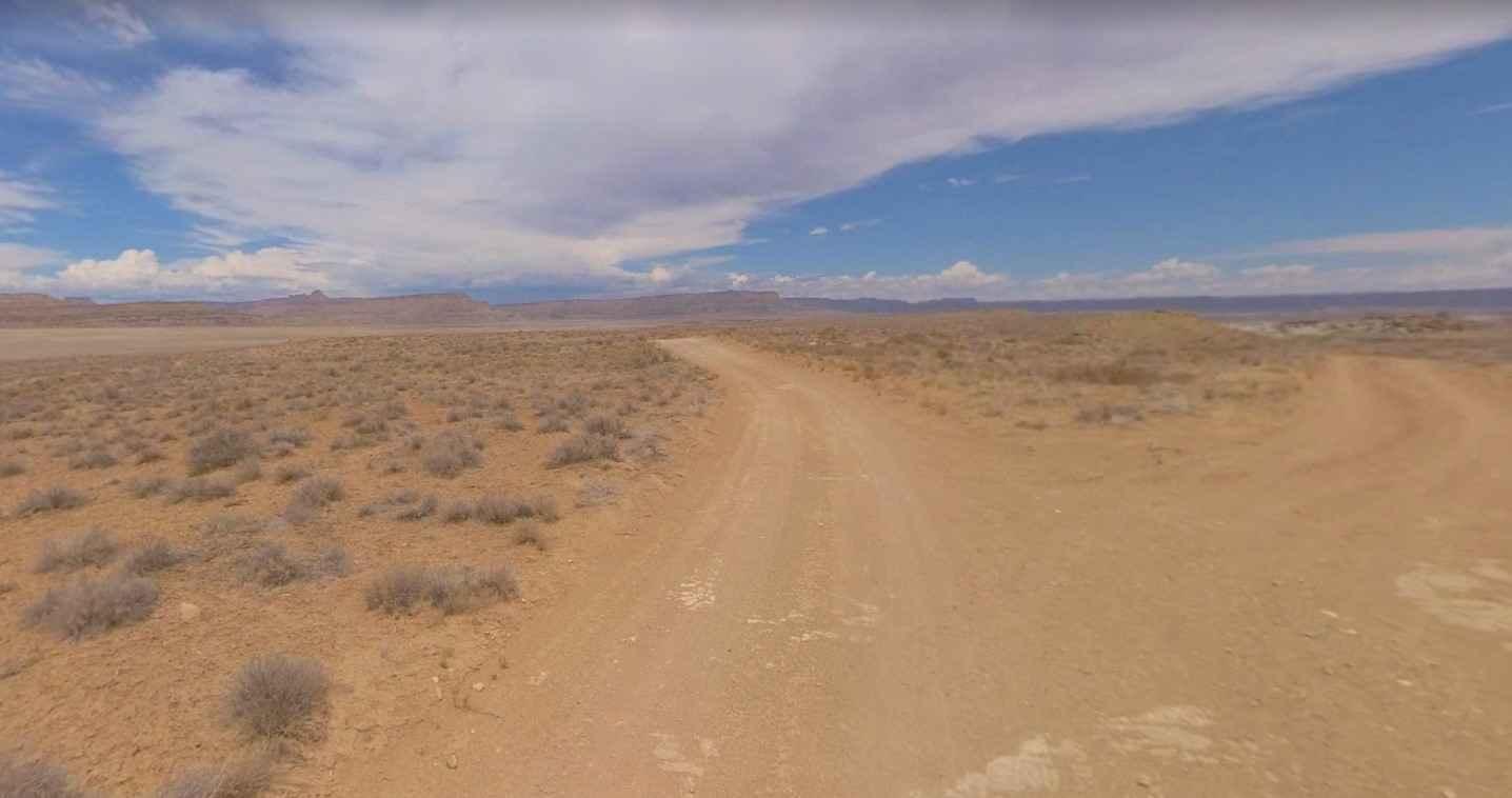
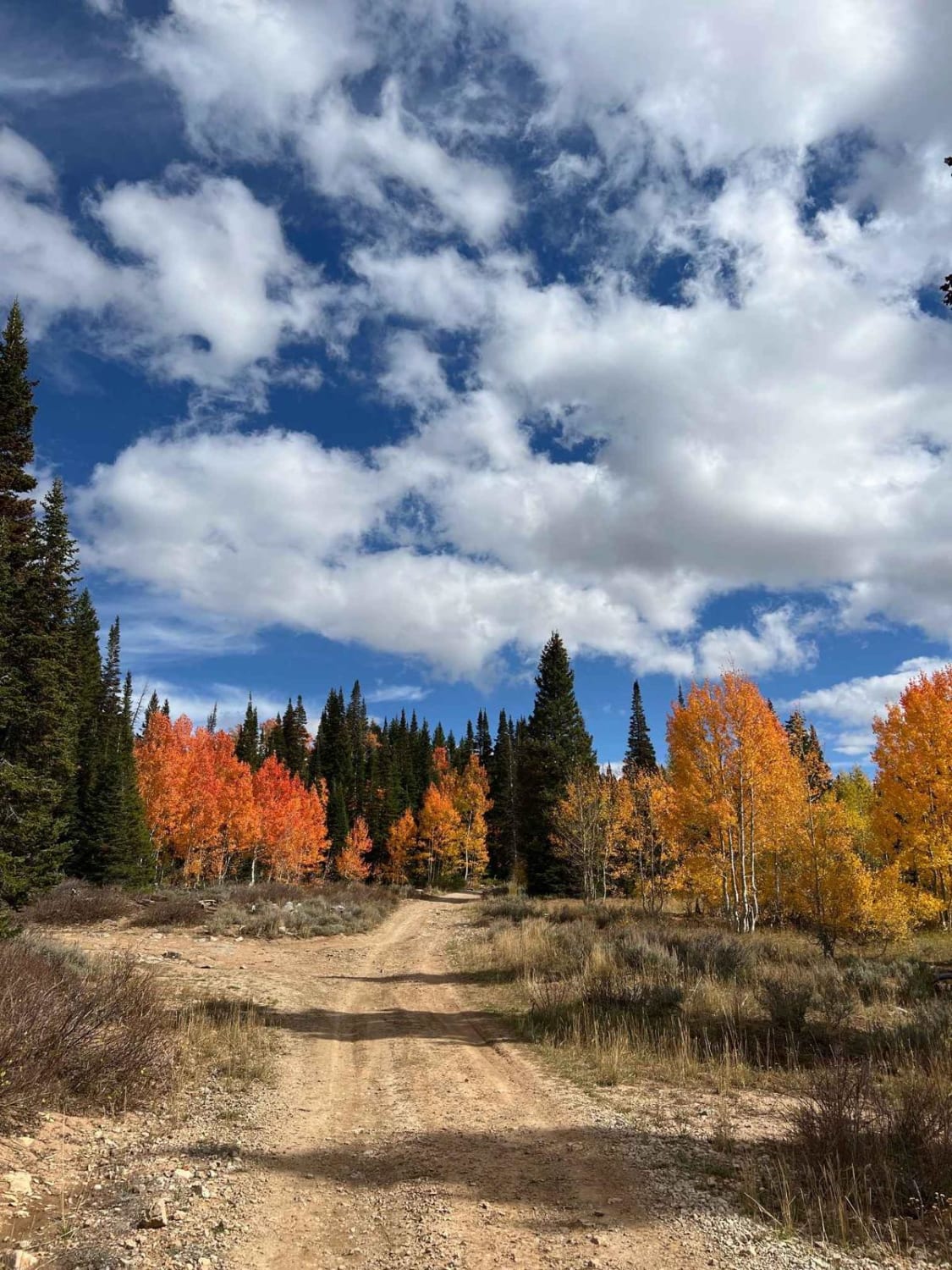
Coyote Valley Road-BLM431 is a 3.9-mile point-to-point trail rated 2 of 10. Coyote Valley Road is located on the south side of the Grand Staircase-Escalante National Monument and starts at the intersection with Cottonwood Road 1.5 miles north of Highway 89. This single-track desert track crosses a barren landscape that leads to the southern end of Coyote Canyon with connector trails to Long Flat Canyon and Chimney Rock. This is an easy track that leads to more difficult and remote trails. The area where the road is located is remote and completely undeveloped. There are no services anywhere along the route. Cell phone coverage is limited to within a few miles of Highway 89 and then nonexistent throughout the area. The nearest immediate services will be located in Big Water with a larger selection in Kanab to the west or Page, Arizona, to the east.
Photos of Coyote Valley Road-BLM431

Difficulty
This is a county dirt road with infrequent or light maintenance after rain or snow. High-clearance, light-duty 4WD may be required.
Coyote Valley Road-BLM431 can be accessed by the following ride types:
- High-Clearance 4x4
- SUV
- SxS (60")
- ATV (50")
- Dirt Bike
Coyote Valley Road-BLM431 Map
Popular Trails
Arrowhead Trail
The onX Offroad Difference
onX Offroad combines trail photos, descriptions, difficulty ratings, width restrictions, seasonality, and more in a user-friendly interface. Available on all devices, with offline access and full compatibility with CarPlay and Android Auto. Discover what you’re missing today!