Dairy Ridge
Total Miles
4.0
Elevation
2,756.23 ft
Duration
0.5 Hours
Technical Rating
Best Time
Summer, Spring, Fall
Trail Overview
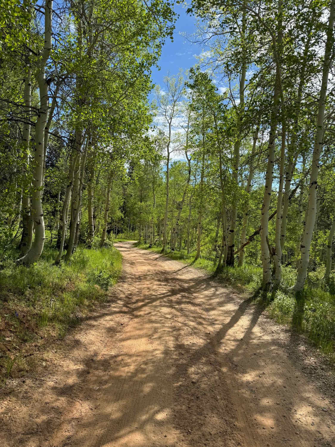
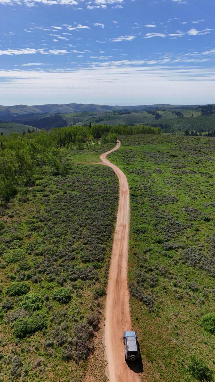
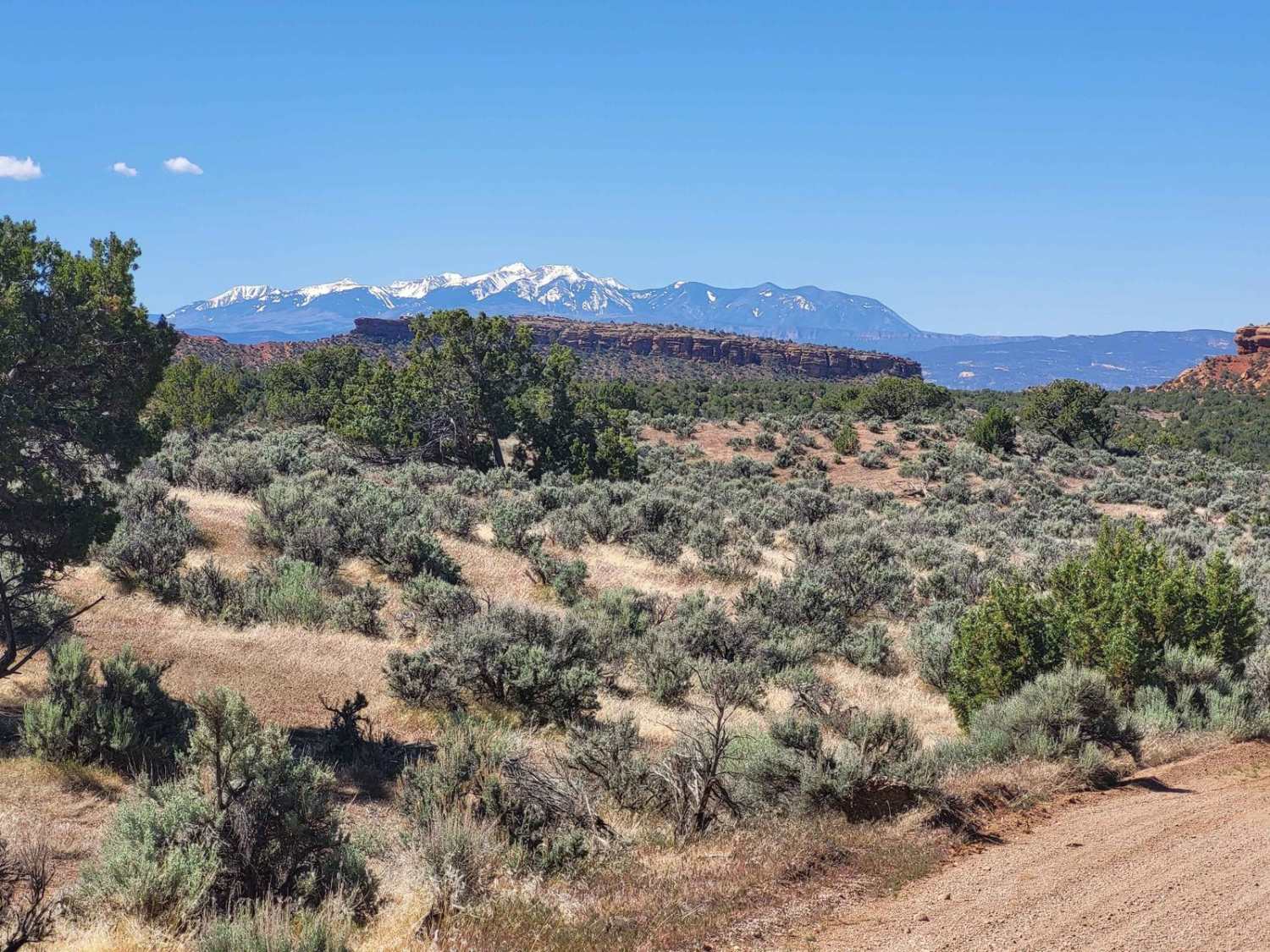
This route runs along Dairy Ridge in Cache National Forest. The trail is fairly well maintained and pretty smooth but there were a few slightly rough spots from water damage. Along the trail you'll find multiple camping spots, and beautiful views of the national forest and mountains in the distance. The trail is also surrounded by aspen trees, so it would make for a great scenic drive in the Fall.
Photos of Dairy Ridge
Difficulty
Mostly well maintained with some slight water damage to the trail. 2WD vehicles and mid sized trailers were spotted driving/camping along the trail as well.
Status Reports
Popular Trails
Upper Salt Wash
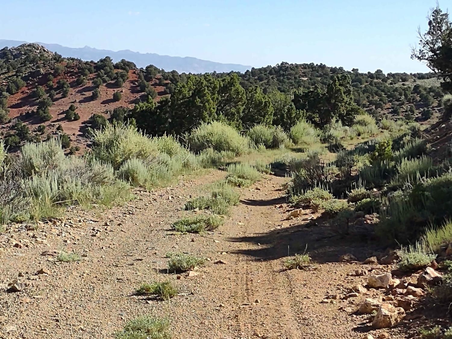
County Road 1936
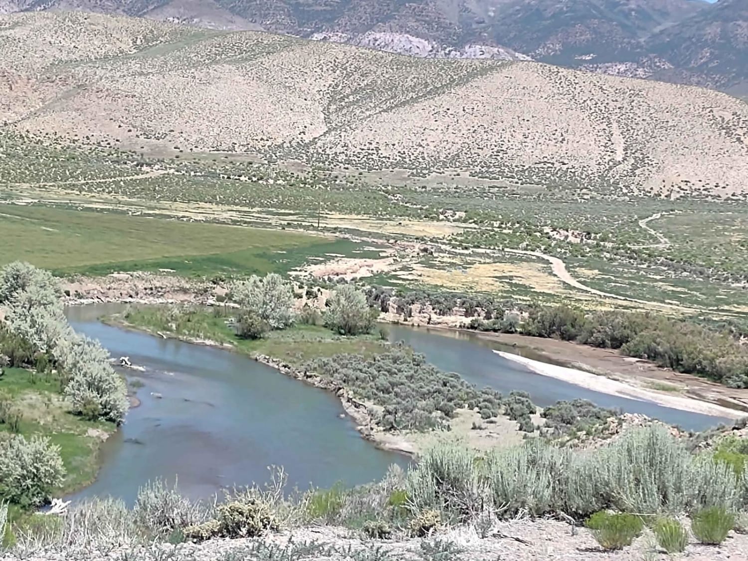
Sevier River North Overlook
The onX Offroad Difference
onX Offroad combines trail photos, descriptions, difficulty ratings, width restrictions, seasonality, and more in a user-friendly interface. Available on all devices, with offline access and full compatibility with CarPlay and Android Auto. Discover what you’re missing today!
