Dixie National Forest-FR31014
Total Miles
3.5
Technical Rating
Best Time
Spring, Summer, Fall, Winter
Trail Type
Full-Width Road
Accessible By
Trail Overview
FR31014 is a 3.5-mile connector trail rated 2 of 10 within the Dixie National Forest in the Pine Valley Ranger District. The trail is categorized for high-clearance vehicles by the Forest Service and is open year-round. The trail is predominately dirt with a mix of embedded sandstone and is generally single-vehicle-wide. This section of the Dixie National Forest is leased out for cattle grazing, so the potential of finding cattle on the trail exists. This trail winds through the westernmost portion of the National Forest and offers several long straightaways. Although open to all classes of vehicles, it is mostly used by ATVs and UTVs. This generally flat trail does offer several short elevation changes along the route. It's typically run as a loop in conjunction with FR30875 and FR30877. To make the long loop, bear right and stay along the fenceline when traveling east to west. Trailer parking can be found on either end of the loop at the intersections with Crestline Road. Although this trail is open year-round the entire trail is above 6,000 feet and may be snow-covered for part of the winter. This part of Washington County is rugged and remote. Visitors should plan carefully and be prepared for backcountry travel conditions.
Photos of Dixie National Forest-FR31014
Difficulty
This is a county dirt road with infrequent or light maintenance after rain or snow. High-clearance light-duty 4WD may be required.
Status Reports
Dixie National Forest-FR31014 can be accessed by the following ride types:
- High-Clearance 4x4
- SUV
- SxS (60")
- ATV (50")
- Dirt Bike
Dixie National Forest-FR31014 Map
Popular Trails

Wallsburg Loop
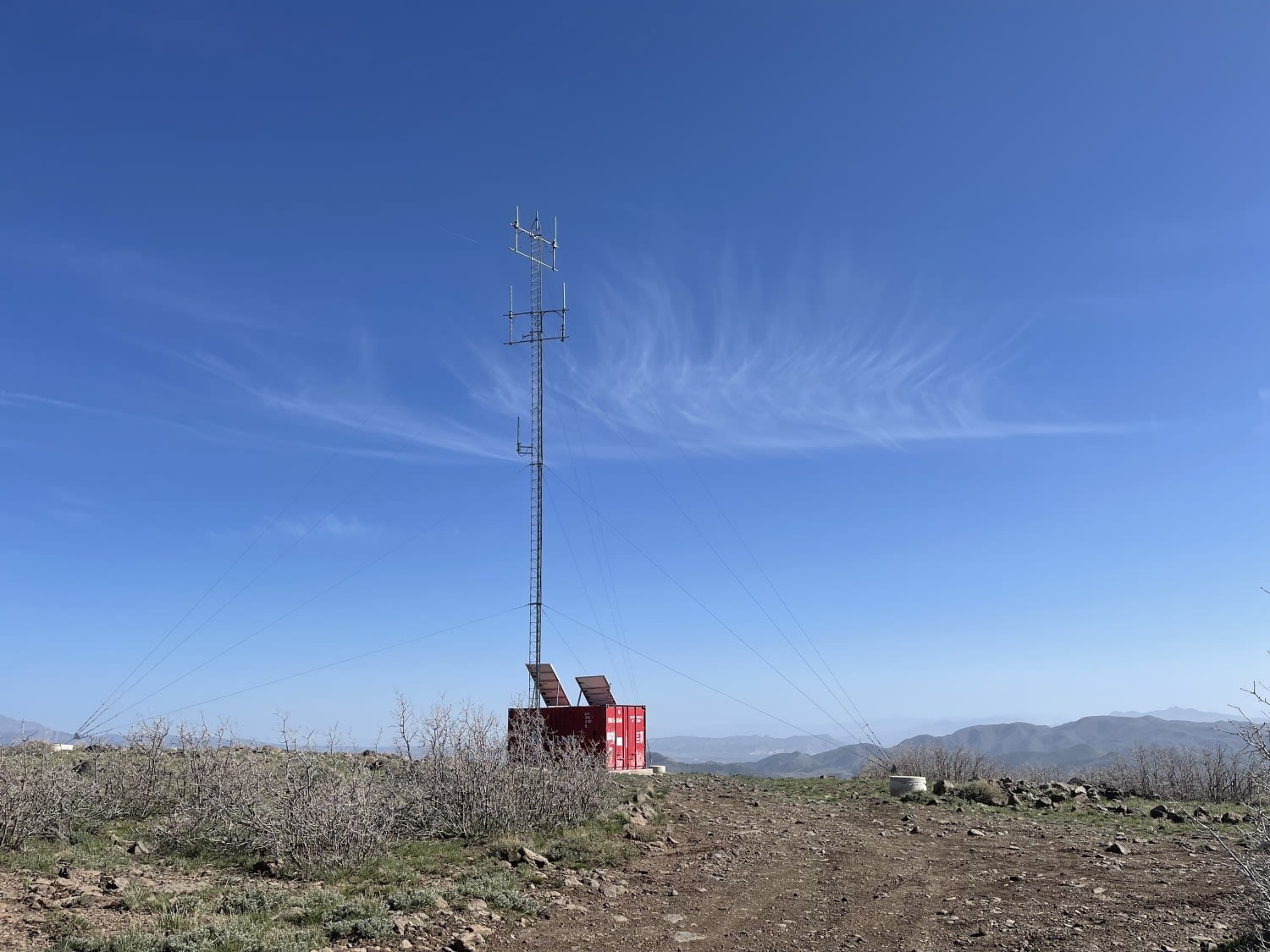
FAA To The Radio Towers

Indian Springs - FS 70501
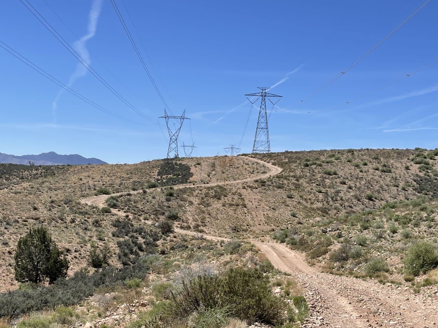
Gas & Power Line Traverse
The onX Offroad Difference
onX Offroad combines trail photos, descriptions, difficulty ratings, width restrictions, seasonality, and more in a user-friendly interface. Available on all devices, with offline access and full compatibility with CarPlay and Android Auto. Discover what you’re missing today!
