Emigrant Trail - Snow Flat Route
Total Miles
22.5
Technical Rating
Best Time
Spring
Trail Type
Full-Width Road
Accessible By
Trail Overview
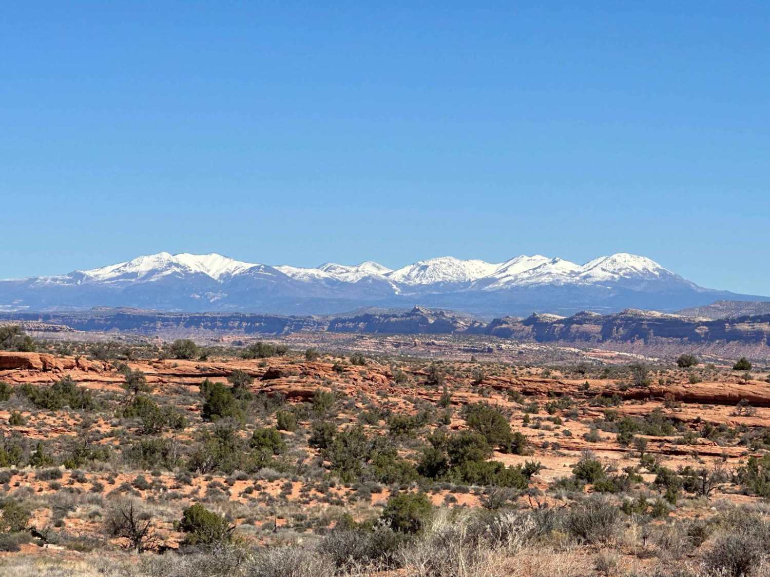
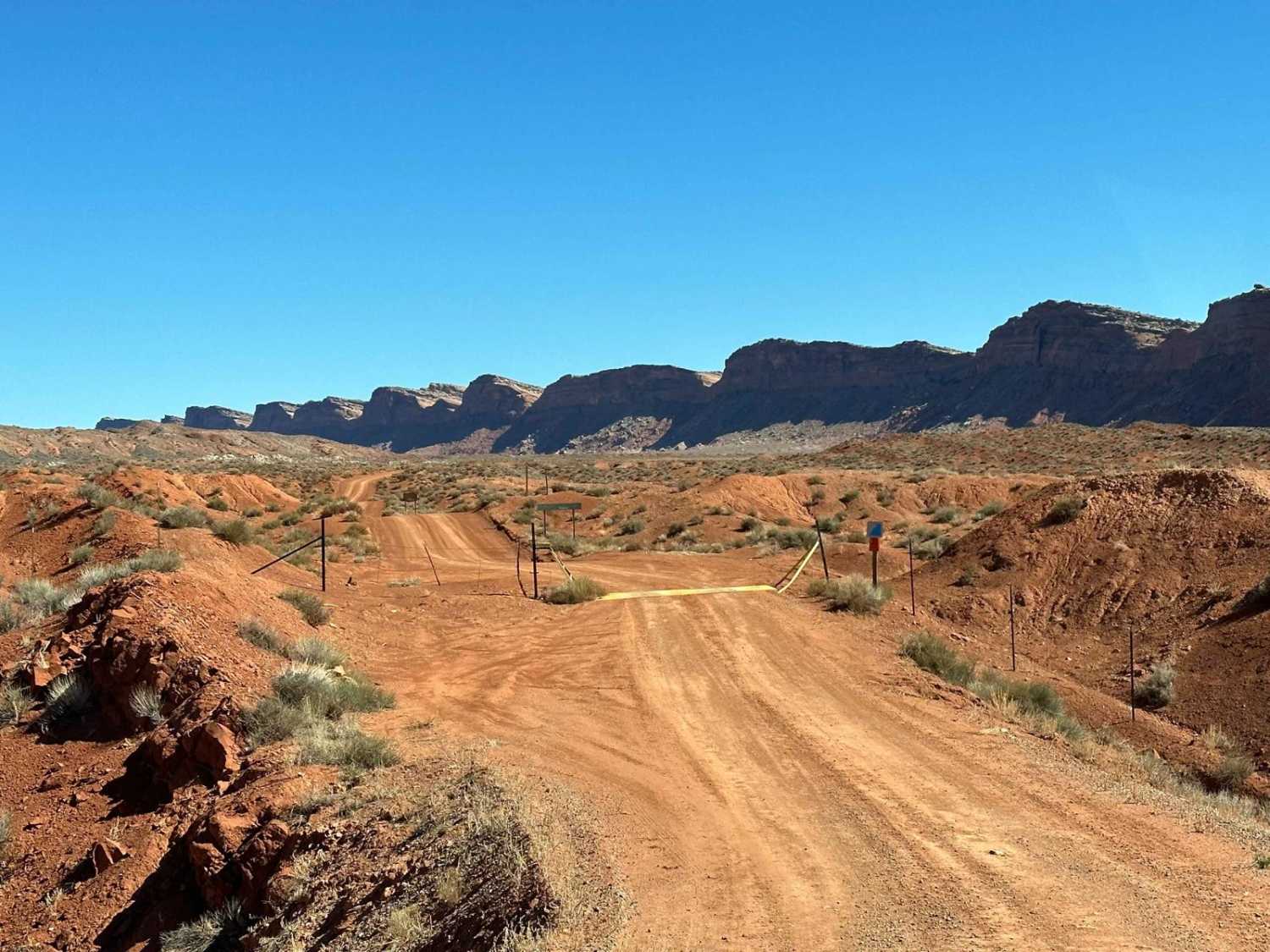
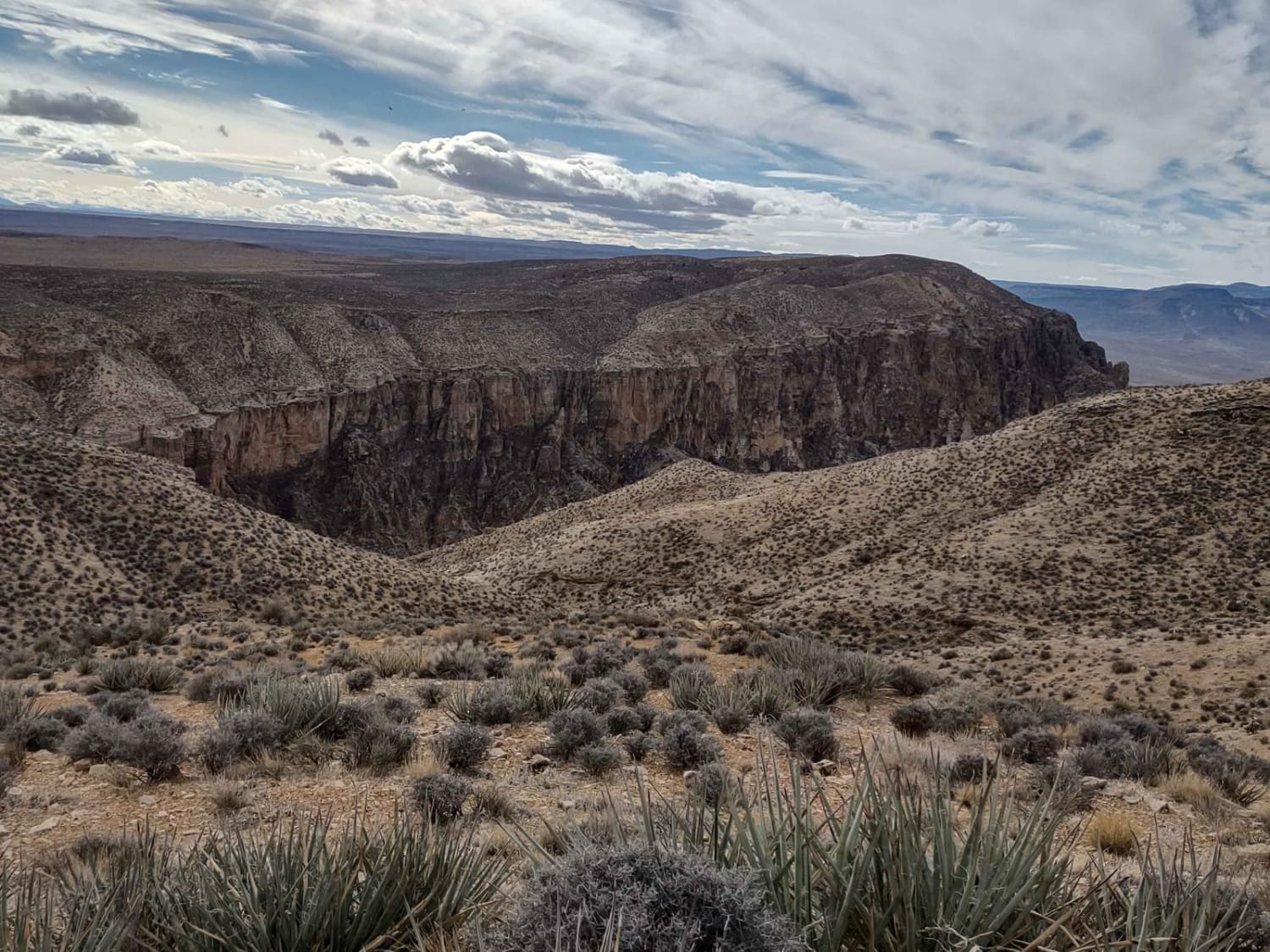
This old wagon trail route is part of the Hole in the Rock trail that originally ran from Cedar City to Bluff; some sections are still open for public use, such as this one on Cedar Mesa, running between Highway 261 and Comb Wash Road at Highway 163, south of Blanding. The route is mostly rock and gravel with some sand and slickrock and is impassable when wet in some areas, especially Comb Wash. High-clearance 4WD is recommended; in wet conditions, even 4WDs can find themselves stuck in the slick mud in spots! The views along the ridgeline in all directions along the route include Bears Ears, Sleeping Ute Mountain, and down to Arizona, with the Abajo Mountains in the northern distance. A BLM day permit is required if you are going to park and hike, but no permit is required to transit any of the approved BLM roads. Maps are available at the Kane Gulch Ranger Station just north of the Snow Flat Road turnoff on Highway 261, south of SR 95.
Photos of Emigrant Trail - Snow Flat Route
Difficulty
This rating is for average AWD vehicles, which is what you mostly see in this popular hiking area. 4WD Jeeps and OHVs will have no trouble with any of it, except for low-clearance rigs or during wet weather, when the washes can flood and dirt turns into sticky Utah mud. Side tracks have advanced ratings of 5+ due to large boulders and slickrock ledges in some of the routes following washes.
History
Mormon immigrants were tasked with forming a community in the area of the current town of Bluff, Utah, and several hundred souls (men, women, and children) braved the rocky wilds of southeast Utah, blasting and hand-digging their way through Hole in the Rock (southeast of Kanab), across the Colorado River, then across southeast Utah to Comb Ridge, hand-digging their way up and over the slickrock-uplifted cliffs and down San Juan Hill to the river.
Status Reports
Emigrant Trail - Snow Flat Route can be accessed by the following ride types:
- High-Clearance 4x4
- SUV
- SxS (60")
- ATV (50")
- Dirt Bike
Emigrant Trail - Snow Flat Route Map
Popular Trails
Yucca Way Spur
Miner's Cabin (Gold Gulch Canyon FS# 41078)

West Side Currant Cr (FR 70471)

Ticaboo Mesa Road - BLM13400
The onX Offroad Difference
onX Offroad combines trail photos, descriptions, difficulty ratings, width restrictions, seasonality, and more in a user-friendly interface. Available on all devices, with offline access and full compatibility with CarPlay and Android Auto. Discover what you’re missing today!