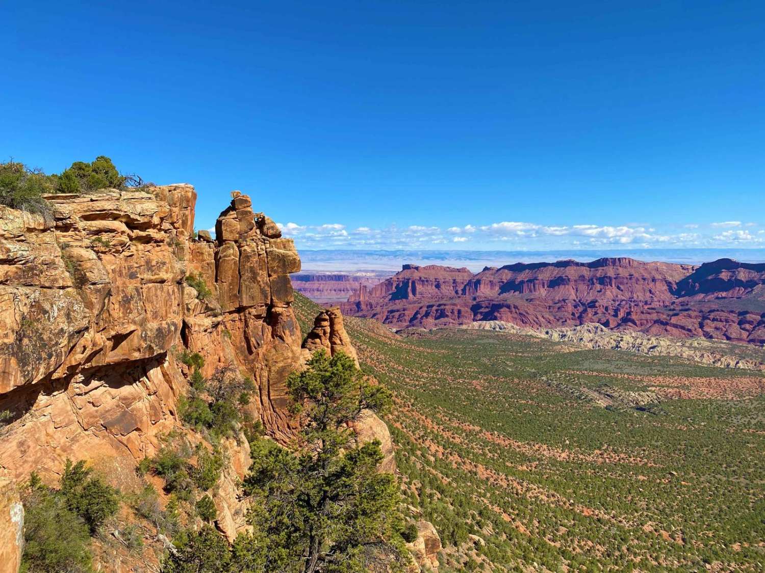
Fisher Mesa
Total Miles
10.8
Technical Rating
Best Time
Spring
Trail Type
Full-Width Road
Accessible By
Trail Overview
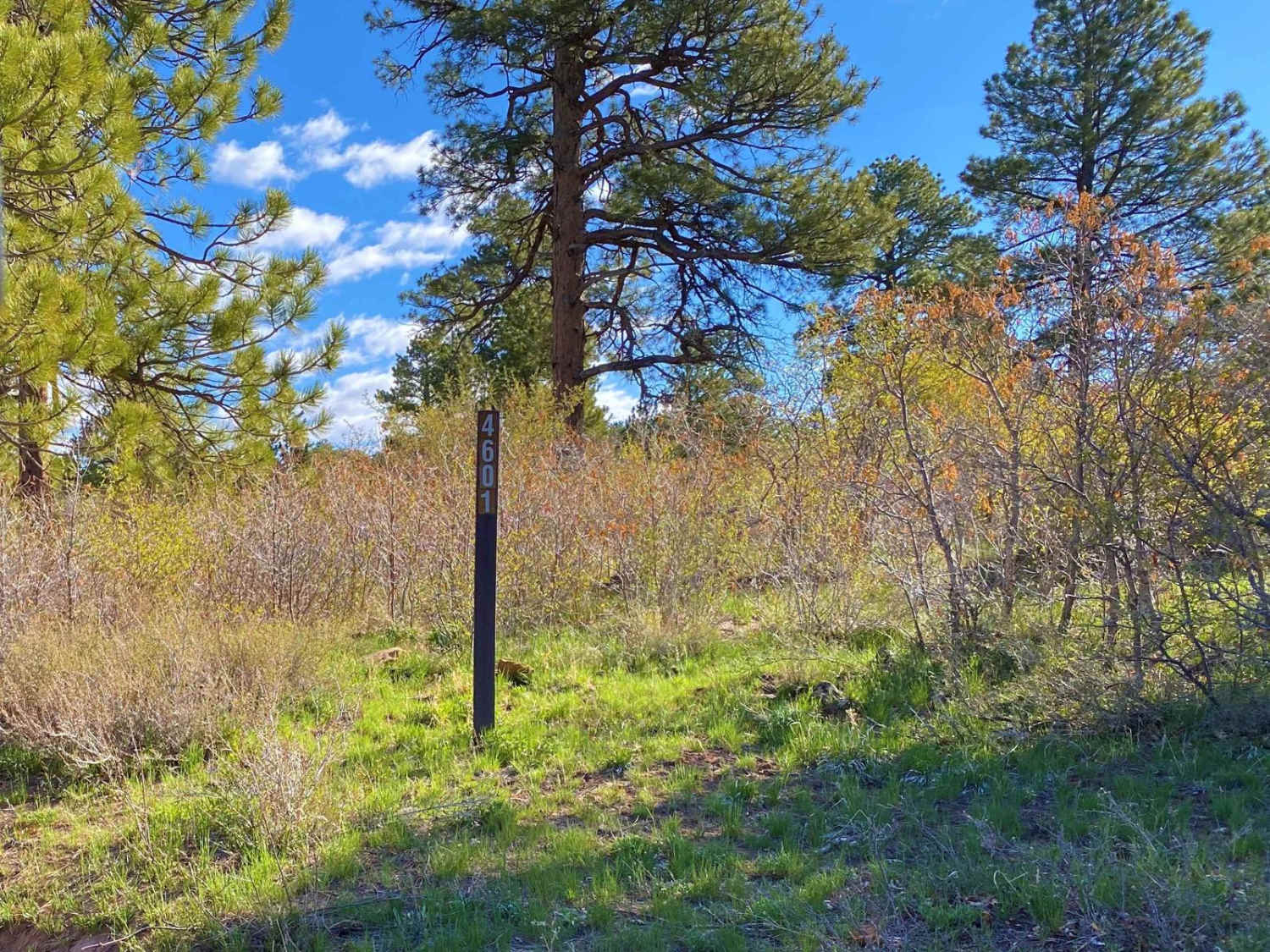
This is an out-and-back dirt and rock 4WD high-clearance route into USFS lands on Fisher Mesa, between Parriot Mesa in Castle Valley and Fisher Towers/the Top of the World trail to the north. It's a rocky, tight forest dirt track that has a few minor ledges and leads to a spectacular mesa rim viewpoint. Signage is non-existent once you're on the USFS road, so remain on the most well-traveled trail.
Photos of Fisher Mesa
Difficulty
This is a tight, rocky forest dirt 1-lane track with no signage. Expect some muddy spots, small ledges and boulders, and overhanging trees for much of the route, so body paint damage is possible.
Status Reports

Popular Trails

Centerville Firebreak Road

Judd Hollow/Cedar Mountain Road
The onX Offroad Difference
onX Offroad combines trail photos, descriptions, difficulty ratings, width restrictions, seasonality, and more in a user-friendly interface. Available on all devices, with offline access and full compatibility with CarPlay and Android Auto. Discover what you’re missing today!