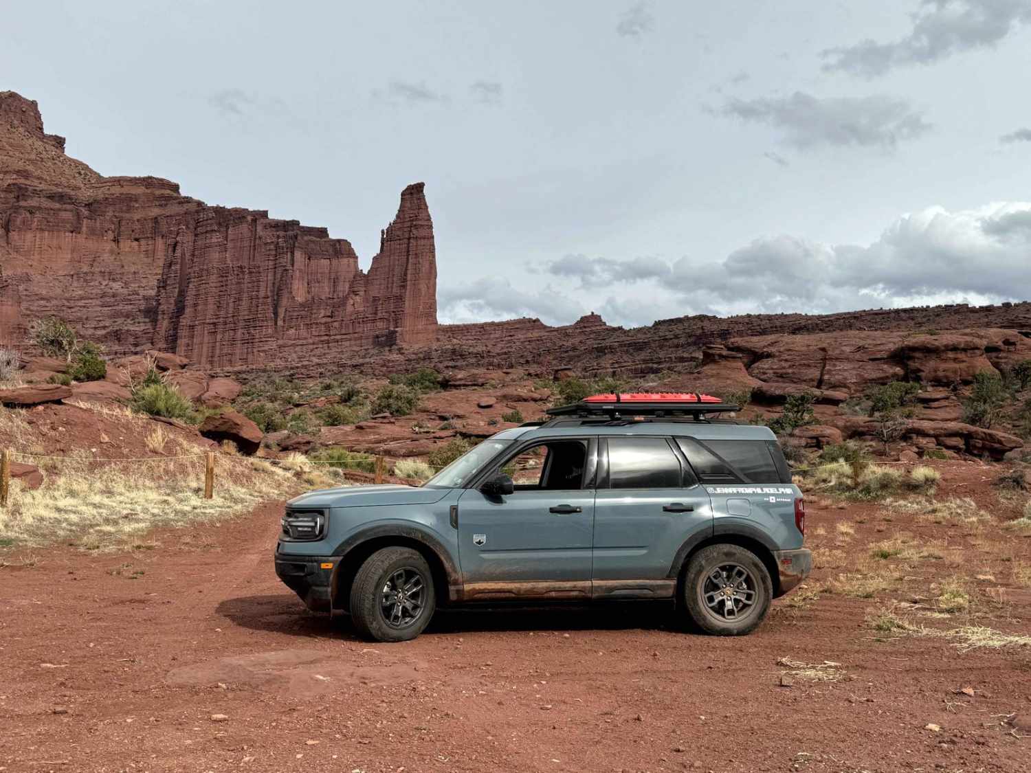
Fisher Tower Viewpoint
Total Miles
1.3
Technical Rating
Best Time
Fall, Spring, Summer
Trail Type
Full-Width Road
Accessible By
Trail Overview
This trail can be joined from the Onion Creek/Fisher Towers trail. It is only a 1.5-mile round trip but is technical for lower-clearance vehicles due to the slick rock and small ledges. At the end, drivers arrive at a larger parking area and are rewarded with a beautiful viewpoint of Fisher Towers.
Photos of Fisher Tower Viewpoint
Difficulty
This is a dirt or rocky road, typically unmaintained after rain or snow. You may encounter shallow water crossings and obstacles under 12 inches on the trail, including small ledges. Roads are typically one to two vehicles wide.
Status Reports
Fisher Tower Viewpoint can be accessed by the following ride types:
- High-Clearance 4x4
- SUV
Fisher Tower Viewpoint Map
Popular Trails
Grafton Mesa
Diamond Valley-Lone Pine-Cottonwood Loop
Silver Meadows - FS 70174
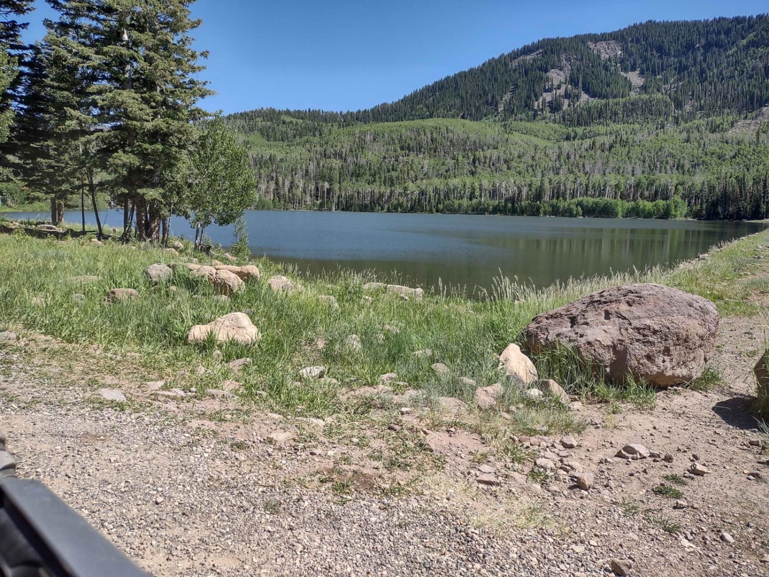
Kent's Lakes to LeBaron Lake (FS 40137)
The onX Offroad Difference
onX Offroad combines trail photos, descriptions, difficulty ratings, width restrictions, seasonality, and more in a user-friendly interface. Available on all devices, with offline access and full compatibility with CarPlay and Android Auto. Discover what you’re missing today!

