Flint Trail
Total Miles
22.0
Technical Rating
Best Time
Spring, Summer, Fall
Trail Type
Full-Width Road
Accessible By
Trail Overview
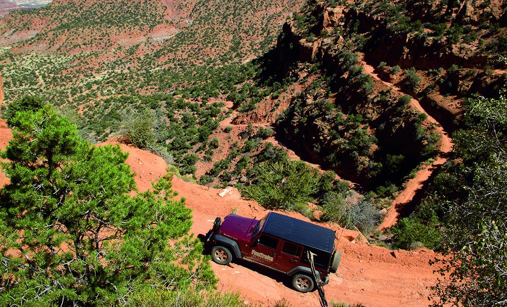
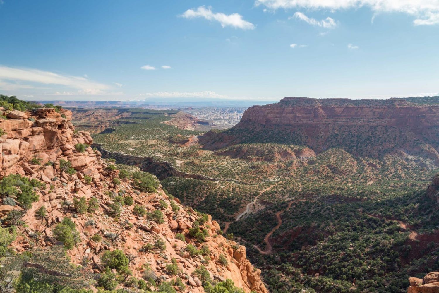
The Flint Trail takes drivers down a steep descent of tight, narrow switchbacks to a narrow shelf road. Take the road along the high ridge and enjoy the scenic views. You'll have the option to circle back in Highway 95 via Trails 74 or 75, or turn around the way you came. Plan ahead by bringing gas, since you will be far from a station, and read up on Maze area regulations.
Photos of Flint Trail
Difficulty
Moderate. Switchbacks are very steep and narrow but, when dry, are generally passable by high-clearance, 4x4 stock vehicles with low-range gearing. Difficult or impassable after storms. Bentonite clay-surface road along ridge after Waypoint 04 is dangerously slippery when wet. Proceed with caution.
History
In 1973, a small camping trailer served as the Hans Flat Ranger Station. The present-day station was established in 1988. Rangers live here year around in nearby living quarters. Rangers are very knowledgable and helpful. Road conditions are posted inside. The station is open every day of the year except Thanksgiving, Christmas and New Year's Day.
Status Reports
Flint Trail can be accessed by the following ride types:
- High-Clearance 4x4
- SUV
Flint Trail Map
Popular Trails
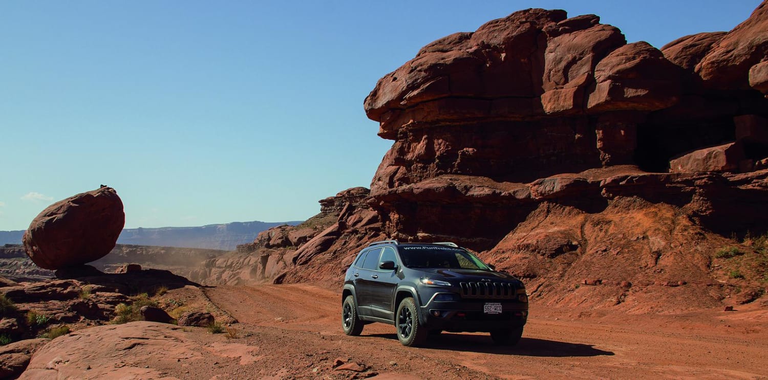
Potash Road, Shafer Switchbacks
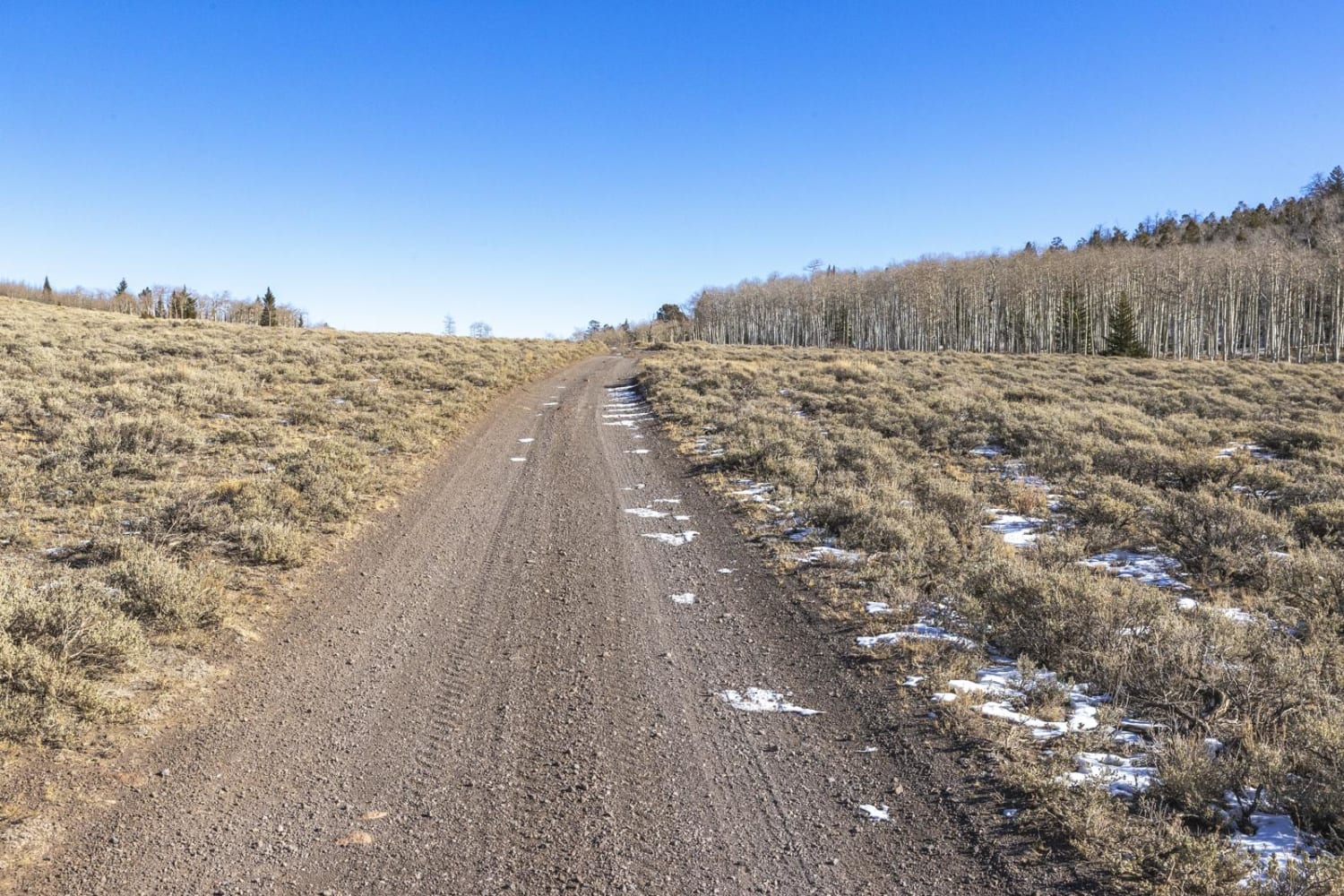
Geyser Peak Trail
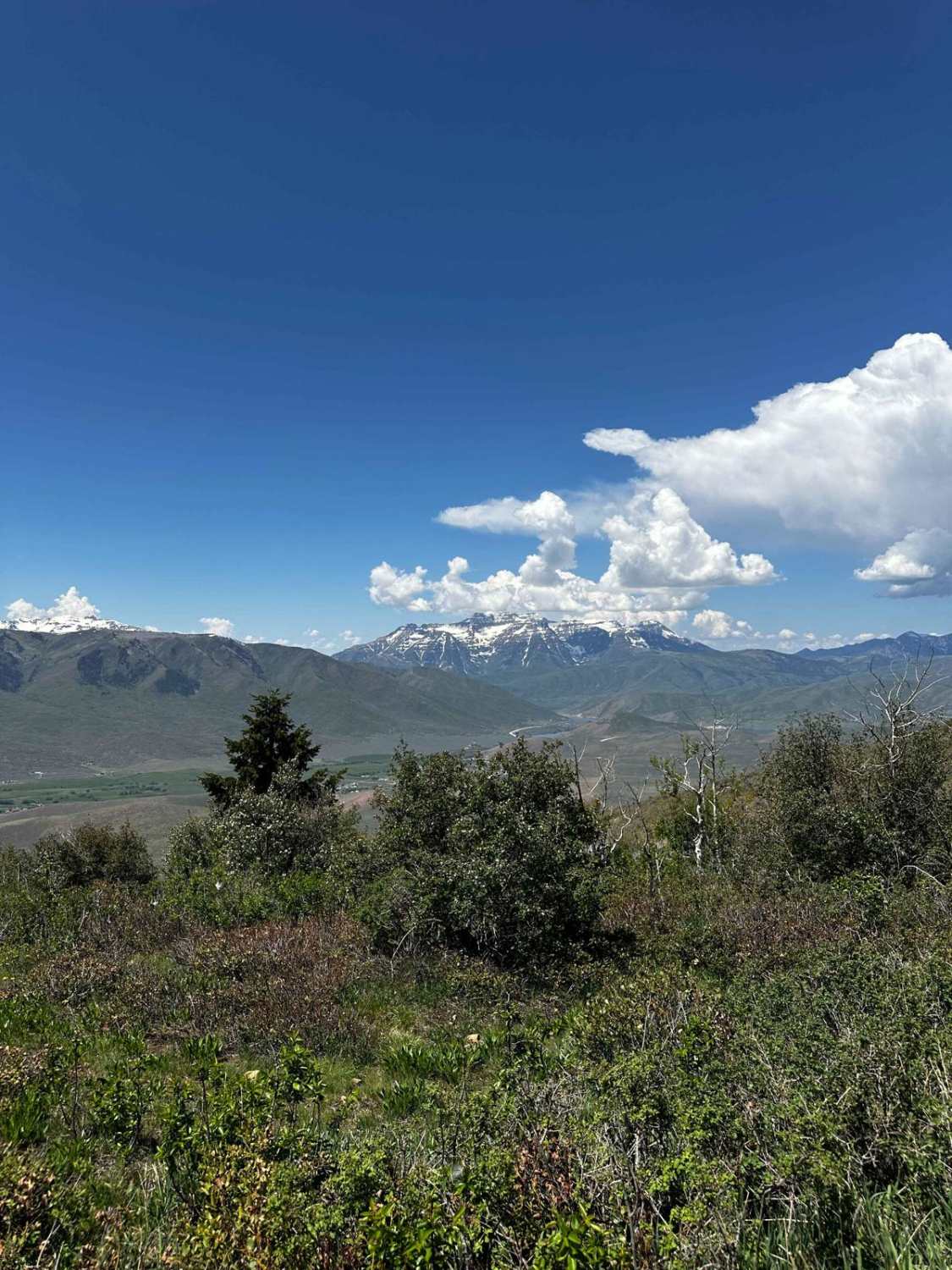
Wallsburg Ridge Trail
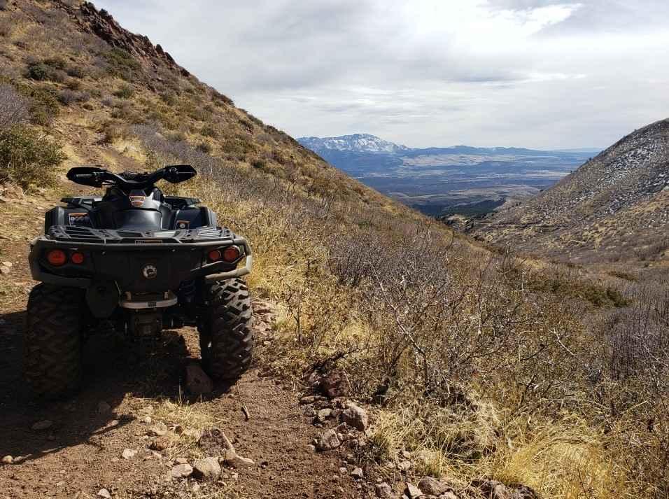
Bull Valley ATV Trail 31003
The onX Offroad Difference
onX Offroad combines trail photos, descriptions, difficulty ratings, width restrictions, seasonality, and more in a user-friendly interface. Available on all devices, with offline access and full compatibility with CarPlay and Android Auto. Discover what you’re missing today!
