FS 40439 Loop
Total Miles
2.5
Elevation
2,649.05 ft
Duration
0.5 Hours
Technical Rating
Best Time
Spring, Summer, Fall
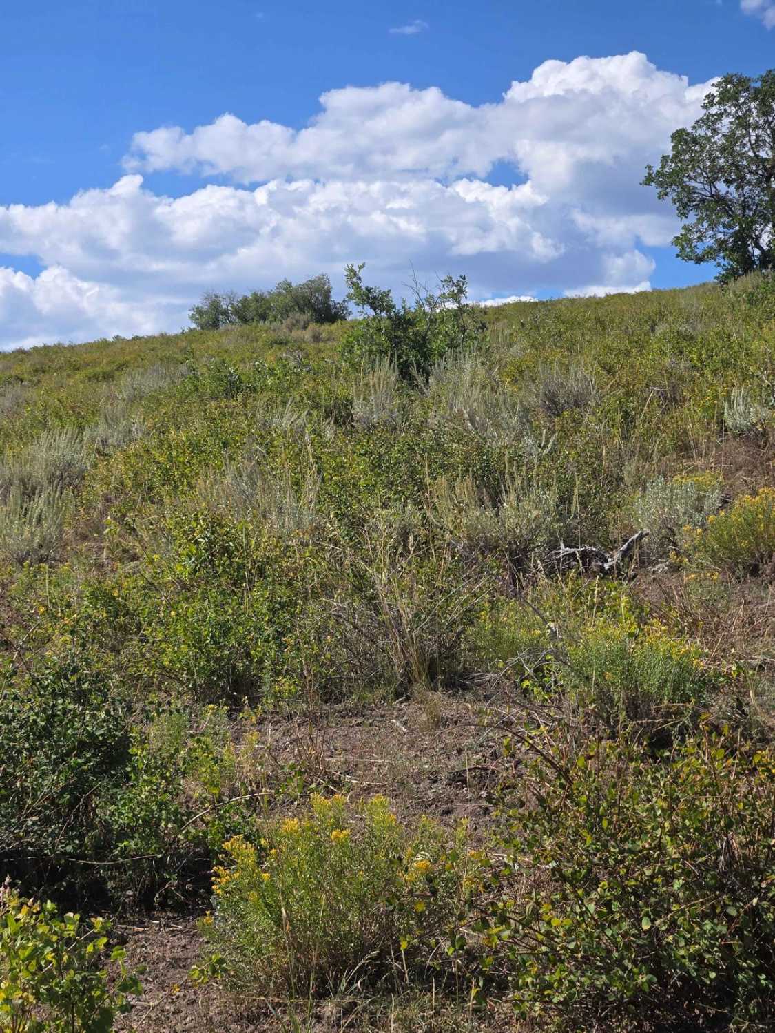
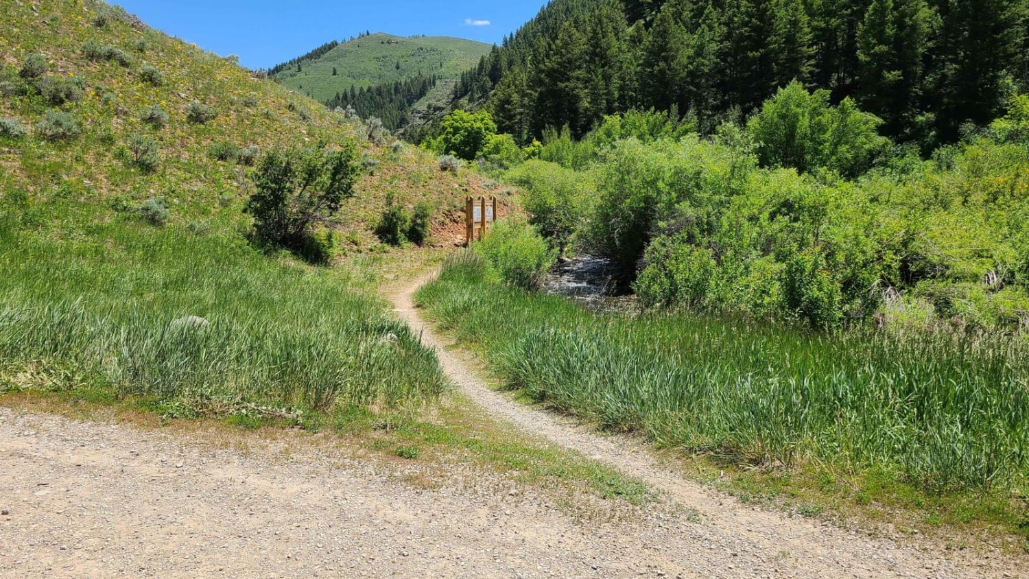
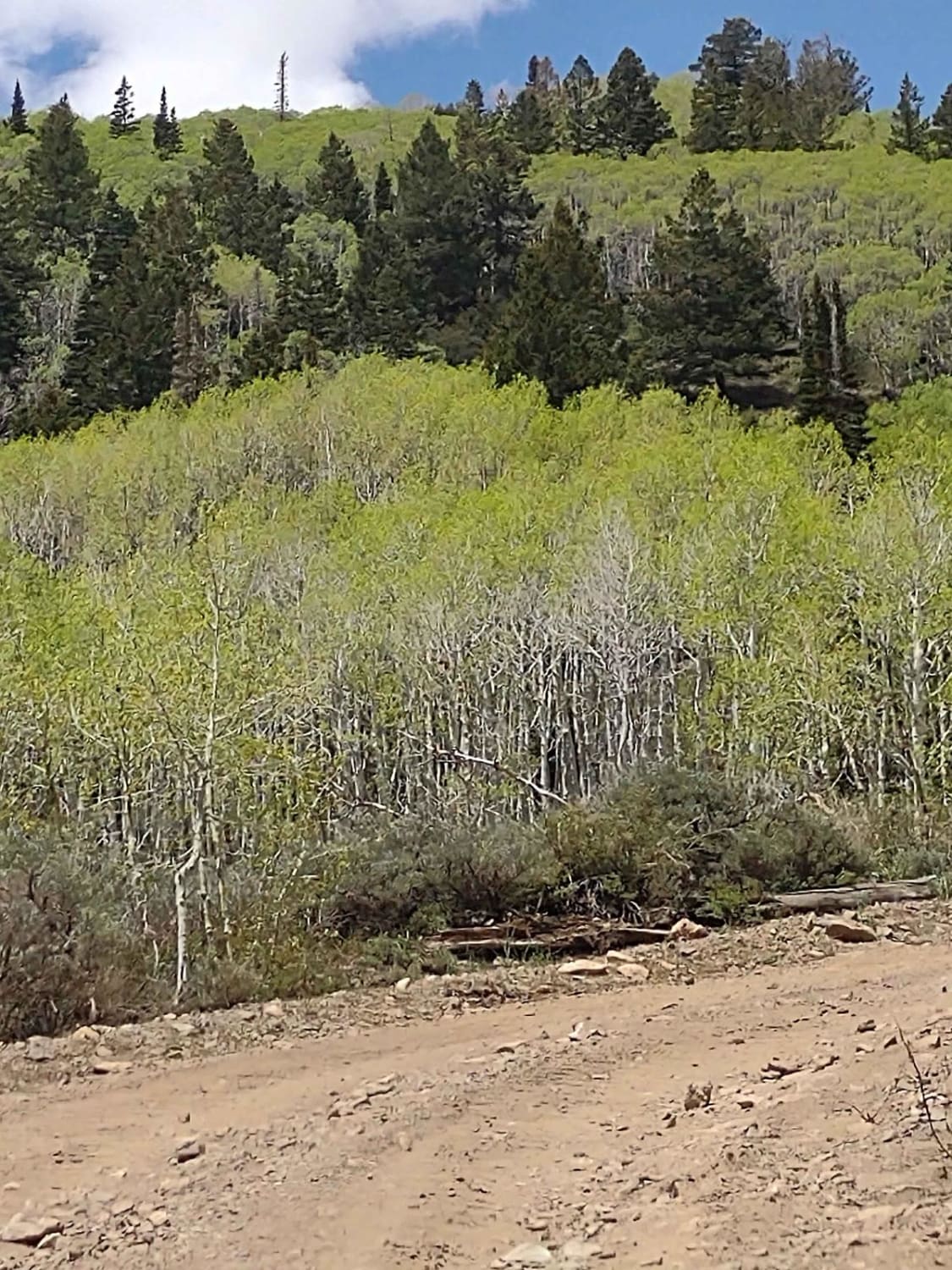
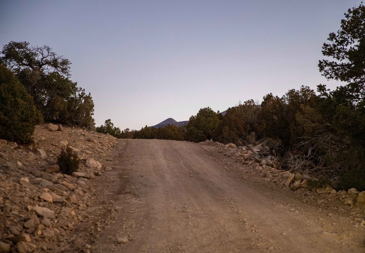
Trail Overview
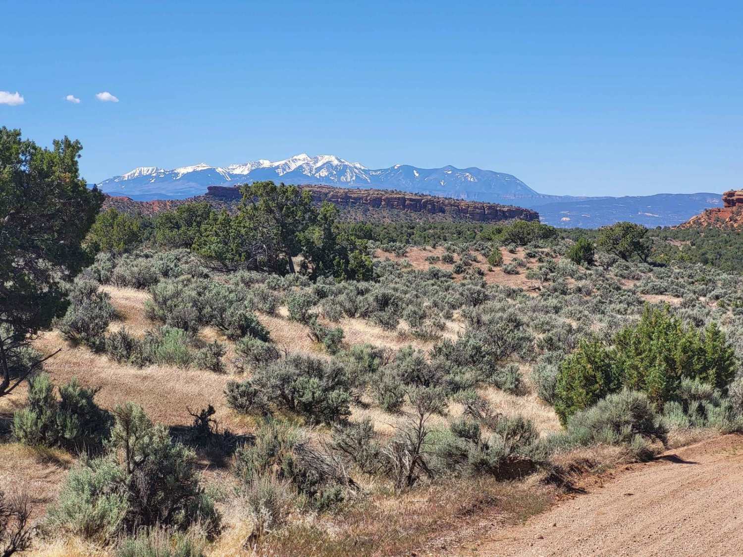
This is a short loop with scenic overlooks toward the Tushar Mountains. This is not a well-maintained or heavily traveled trail. There is a variety of trees and flowers in the hills along this trail. This trail is located in the Pavant Range north of the Fremont Indian State Park.
Photos of FS 40439 Loop

Difficulty
There are rocky areas on this trail that require some skill level to traverse. The road is rutted places from runoff. This road could be impassable in wet weather. High clearance vehicle is recommended, and 4x4 could come in handy in places.
Status Reports
Popular Trails
Steel Hollow
Aspen Grove Extravaganza
McMIllan Springs Road
The onX Offroad Difference
onX Offroad combines trail photos, descriptions, difficulty ratings, width restrictions, seasonality, and more in a user-friendly interface. Available on all devices, with offline access and full compatibility with CarPlay and Android Auto. Discover what you’re missing today!