FS-40956
Total Miles
1.1
Technical Rating
Best Time
Spring, Summer, Fall
Trail Type
Full-Width Road
Accessible By
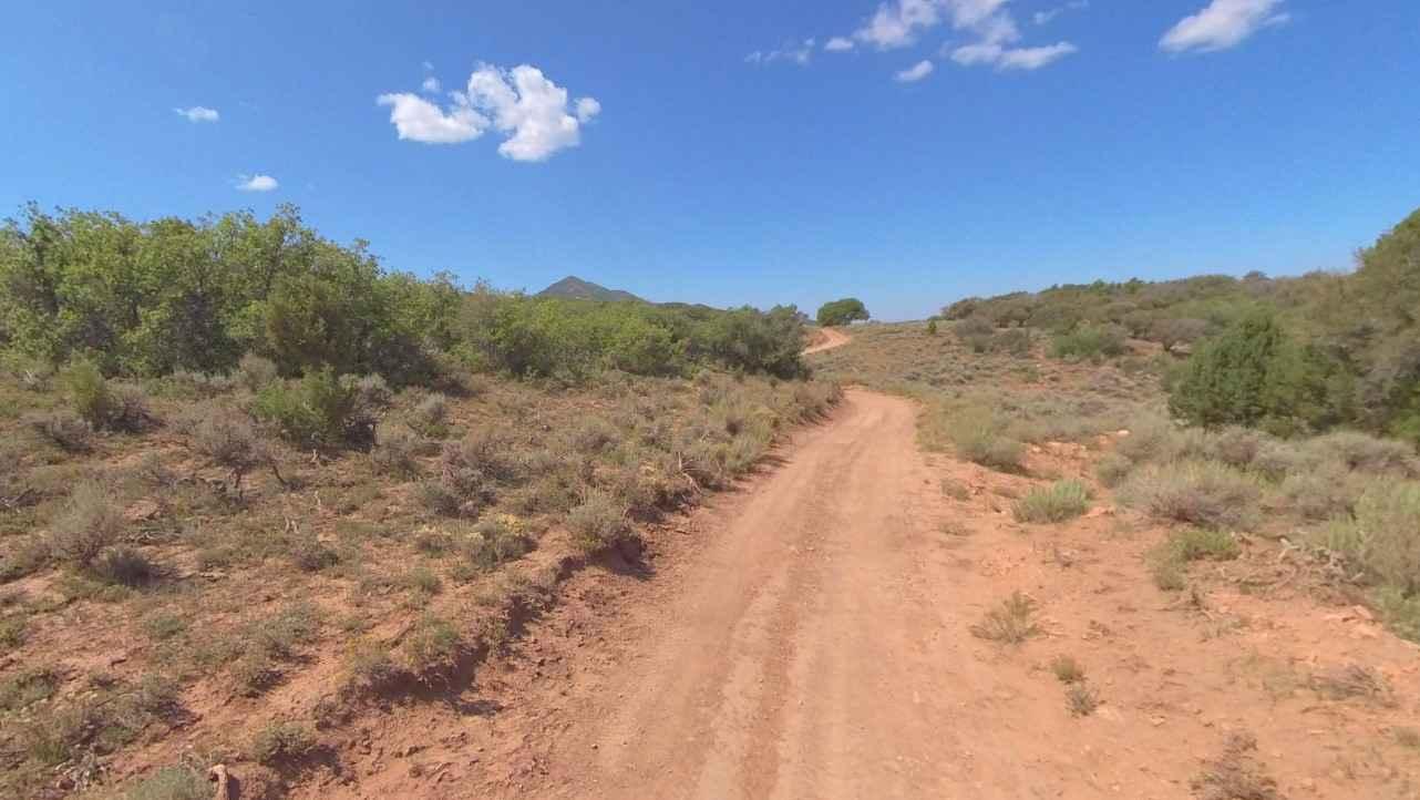
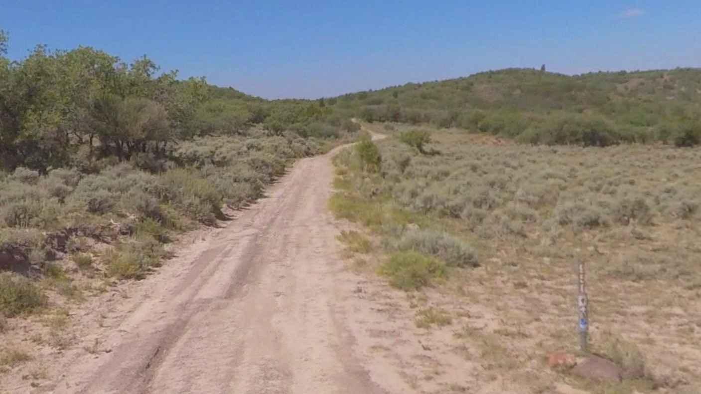
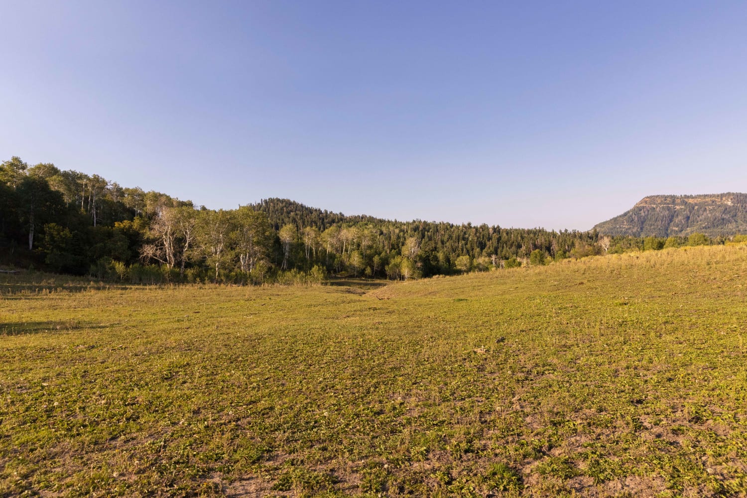
Trail Overview
FSR40956 is a 1.1-mile point-to-point trail rated 3 of 10 located in Millard County. This connector trail links Watts Mountain Road with Trail Spring Bench and is part of the Paiute Trail Network #1. This section of trail offers high altitude (above 7500') dispersed camping in open meadows or along several side forest roads. This trail crosses the Pavant Mountain Range. The range is named for the Pahvant tribe, a branch of the Ute people. The tallest peak is Mine Camp Peak at 10,222 feet. There is private property on the south side of the trail, so ensure any location for a stop is within the confines of the state forest. Dispersed camping is allowed, and motor vehicle use off of designated roads and trails for the purpose of dispersed camping is permitted in Fishlake National Forest up to 150 feet from the centerline of the road or trail for the period year-round. Much of the Fishlake National Forest is remote. Medical assistance may not be readily available. Cellular telephones do not work in many areas of the Fishlake National Forest. The nearest services are located to the east in Richfield or west in Fillmore.
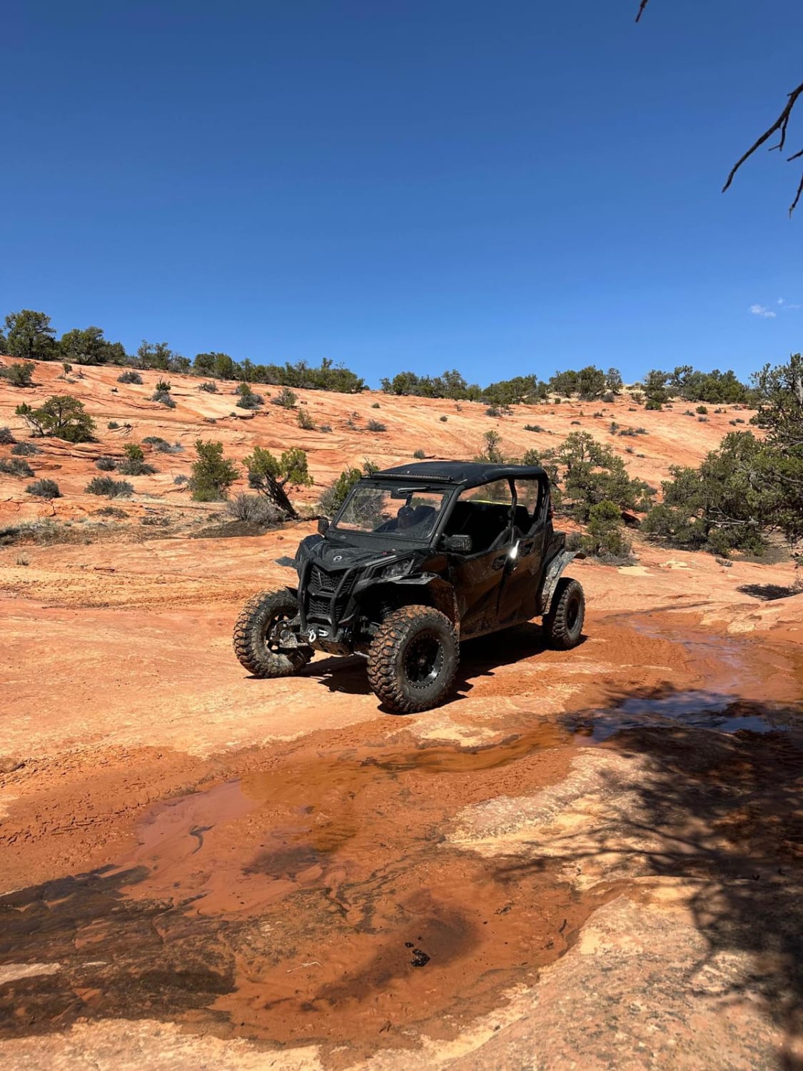
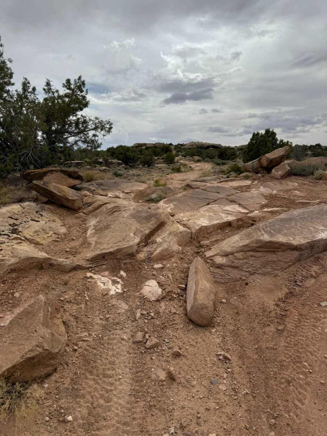
Photos of FS-40956
Difficulty
Trail consisting of loose rocks, dirt, and sand with some slick rock surfaces, mud holes possible, no steps higher than 12". 4WD may be required, aggressive tires a plus.
History
The Paiute Trail began in the small community of Circleville back in the summer of 1988 and was created by two lifelong schoolmates and good friends Clyde Lay a Forest Engineer for the Fishlake National Forest and Lindon Romine, a Piute County Commissioner. They rolled out some maps and plotted a large loop that crossed three mountain ranges and passed through four rural communities, including their beloved Circleville. Much of this initial 250-mile loop, which was later modified to the current 238-mile loop, already existed with only a few places needing actual construction. They took their proposal to the counties and towns that would be involved and got overwhelming support. The name "Paiute" was selected, utilizing the spelling of the local Native culture rather than that of the county by the same name. Today, the entire Paiute System is a 1679-mile network that crosses multiple mountain ranges ranging in elevation from 5,200 to over 11,400 feet, spans several counties, and connects 16 small southern Utah communities.
Status Reports
FS-40956 can be accessed by the following ride types:
- High-Clearance 4x4
- SUV
- SxS (60")
- ATV (50")
- Dirt Bike
FS-40956 Map
Popular Trails
Dinosour Tracks Extension Loop
Juniper Trail

Loafer Mountain - FS 8098
Beaver Creek Ridge
The onX Offroad Difference
onX Offroad combines trail photos, descriptions, difficulty ratings, width restrictions, seasonality, and more in a user-friendly interface. Available on all devices, with offline access and full compatibility with CarPlay and Android Auto. Discover what you’re missing today!