FS 80178 Upper Cedar Hollow OHV
Total Miles
5.2
Technical Rating
Best Time
Summer, Fall
Trail Type
Full-Width Road
Accessible By
Trail Overview
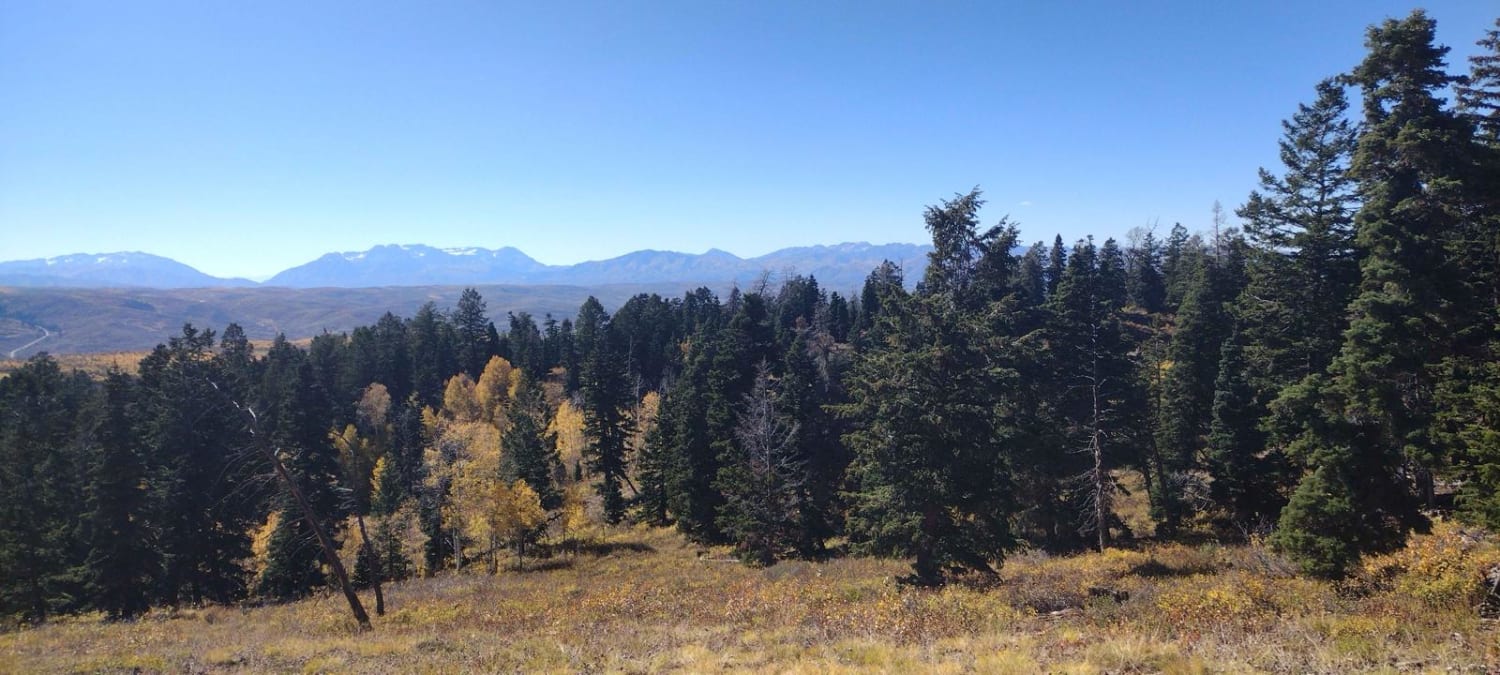
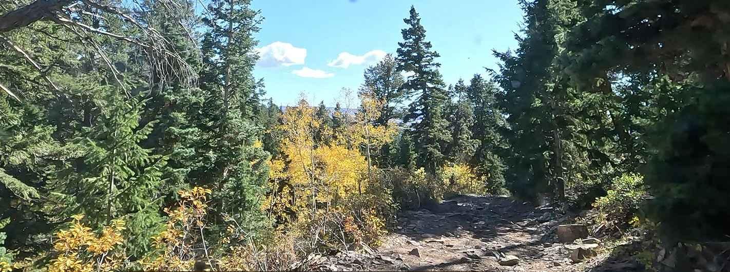
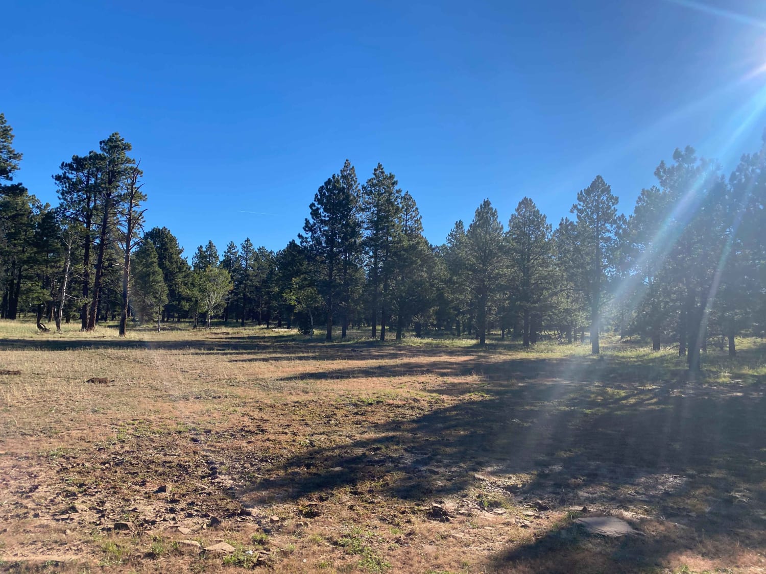
This is an out-and-back scenic trail that has a little bit of everything. It has some narrow spots in the trail, large embedded rock shelves and ledges, and steep trail through loose rocks. There are deep mud pits, large mud puddles weeks after rain, and amazing viewpoints all while winding your way through pines and aspens. There are plenty of places to dry camp along the way. ATVs 50 inches and narrower can drop down to Mirror Lake Highway. High clearance is needed for this trail. No trailers of any kind are suggested.
Photos of FS 80178 Upper Cedar Hollow OHV
Difficulty
This trail has areas of embedded large rocks, steep loose rocks and deep, muddy ruts that are up to 24 inches deep. There are parts of the trail that are best not to traverse after rain.
Status Reports
Popular Trails

Comb Ridge Descent

Piute Pass Trail

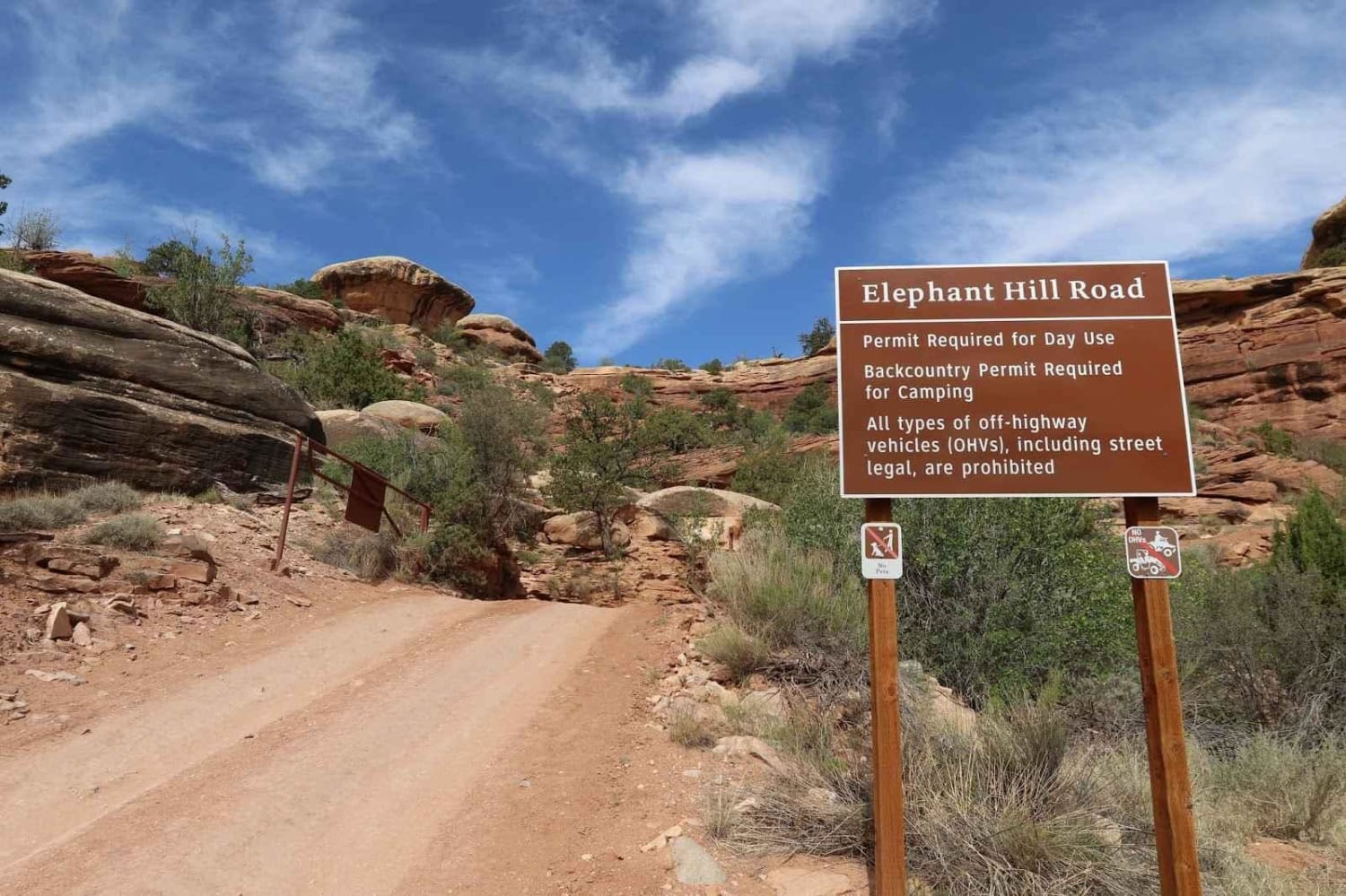
Elephant Hill Road
The onX Offroad Difference
onX Offroad combines trail photos, descriptions, difficulty ratings, width restrictions, seasonality, and more in a user-friendly interface. Available on all devices, with offline access and full compatibility with CarPlay and Android Auto. Discover what you’re missing today!


