Horse Canyon Road
Total Miles
25.8
Technical Rating
Best Time
Spring, Summer, Fall
Trail Type
High-Clearance 4x4 Trail
Accessible By
Trail Overview
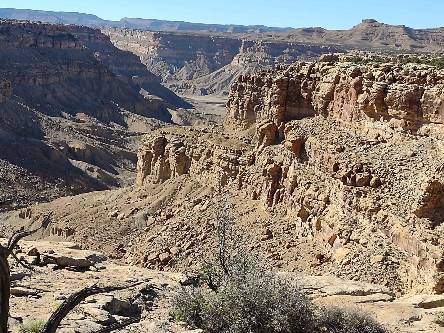
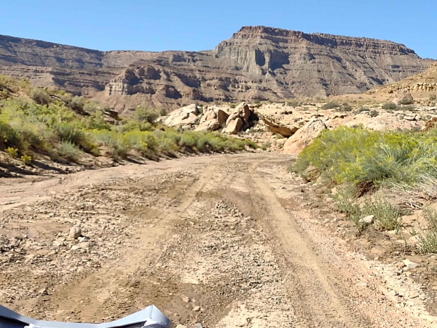
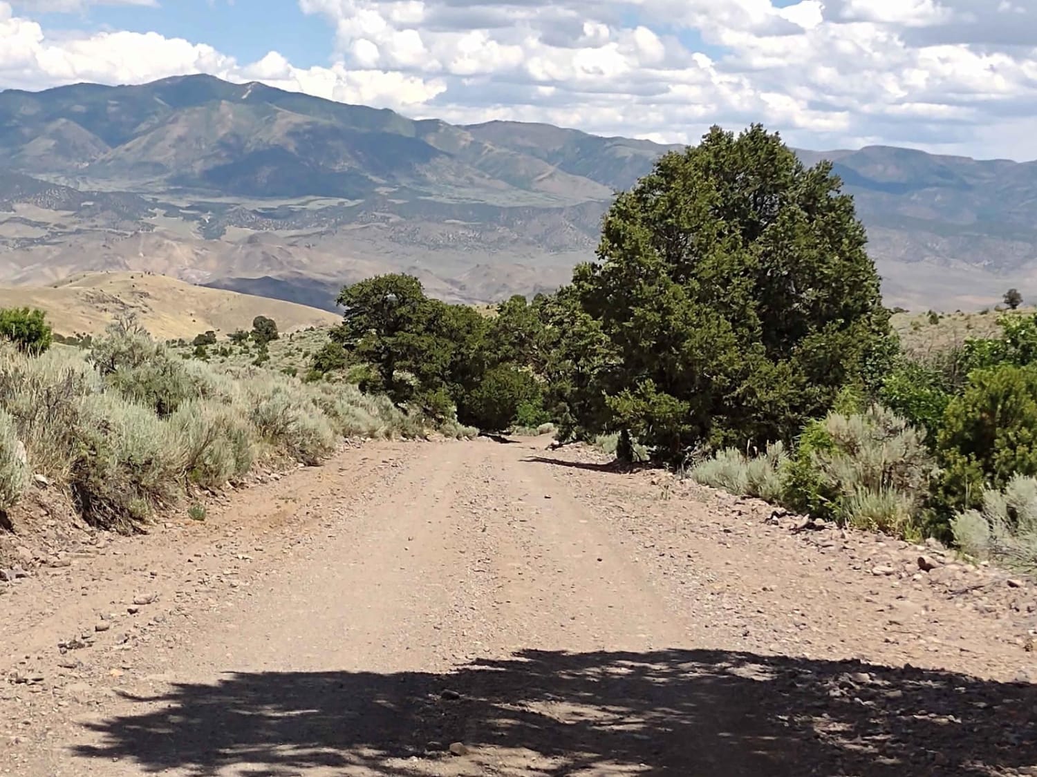
This 26-mile (each way) track takes you from up on top of Tusher Bench in the Book Cliff Mountains NE of Green River, UT, to the valley bottom, going around the rim of Horse Canyon and then down through the canyon wash at the south end. You can do this trail in either direction, but due to the heavy rains just before our trip, we were only successful because we started at the north end and worked our way south and down. We did this ride in our 75" CanAm SXS. There are spectacular views all along the canyon rim, and the road is narrow in places with no room to pass another vehicle or pull off to the side. Then you drop 2500+ feet into the canyon and the wash. Because of the rains, the trail in the wash/river in the canyon bottom had changed drastically. In places, we had to search for the trail on foot, and then figure out a way to get back to it. The trail at the bottom sometimes is in the wash, and sometimes cuts across a corner for easier riding. The rains had washed boulders and rocks, debris, sand, and silt into the wash, and some trail work was necessary to get through it, thus the 4-hour trip. If there were no recent heavy rains and others had traveled it since the last rain, the trail would be more visible and the trip shorter. Beware... during a rain storm, stay off of this trail. It has the potential for torrential waters. The wildlife common in this area are deer and antelope, and occasionally big horn sheep and buffalo. There is a small wild herd of buffalo in the Book Cliff Mountains, but viewing them is a rare privilege.
Photos of Horse Canyon Road
Difficulty
The north end of the trail is a road. If it's rained, it will be muddy, and locations close to the rim of the canyon can be treacherous. If it's dry, it's an easy 3.However, the canyon at the bottom was a 6 when we went through it, and we've rated it as such so no one is caught off-guard. We had to move rocks, we had to search for the trail because debris had blocked the path out of the wash onto the trail in several places. There were areas of severe erosion, there were drops of more than 18" in places and big rocks to maneuver over and around, many of which required a spotter.If heavy rains have occurred recently, give this trail a few days to dry out before attempting.If it's raining now, stay off of this trail, at least at the south end where you have to be in the canyon wash. It has the potential for torrential water.
Popular Trails
Edge of the World - Single Track
Rocky Road Trail

Brian's Access Trail
Revenue Gulch (FS 40577, BLM 210)
The onX Offroad Difference
onX Offroad combines trail photos, descriptions, difficulty ratings, width restrictions, seasonality, and more in a user-friendly interface. Available on all devices, with offline access and full compatibility with CarPlay and Android Auto. Discover what you’re missing today!
