Leeds Creek-Cottonwood Spur #30905
Total Miles
0.6
Elevation
1,330.60 ft
Duration
0.25 Hours
Technical Rating
Best Time
Spring, Summer, Fall, Winter
Trail Overview
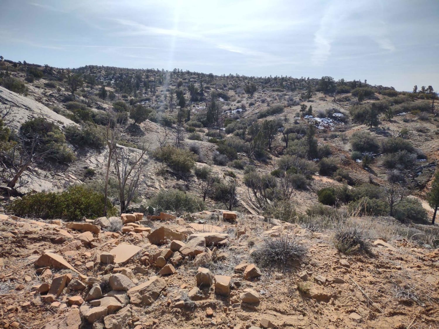
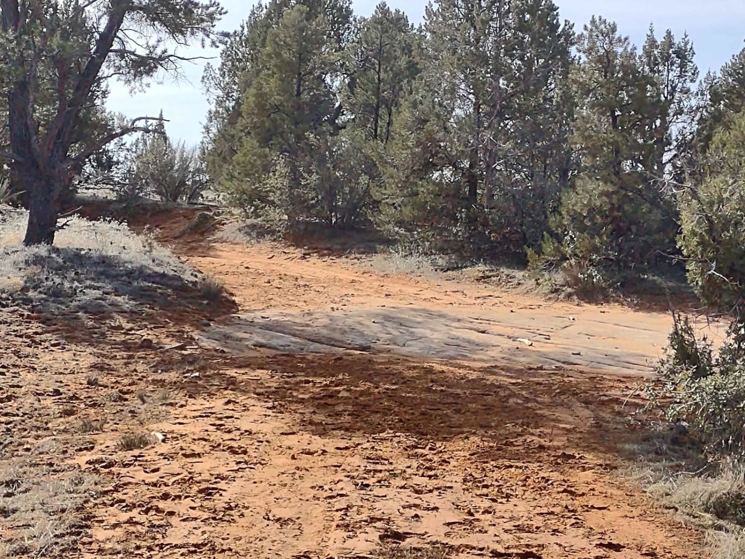
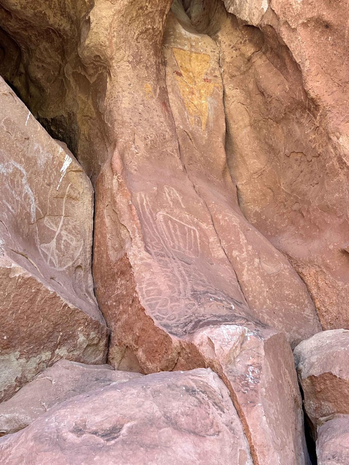
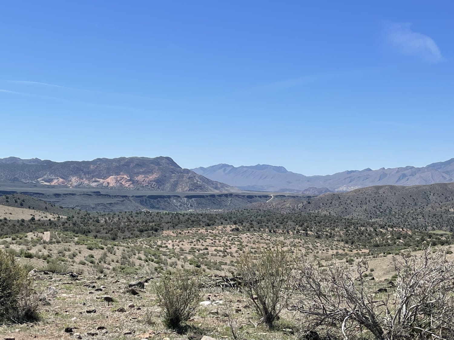
Another "least traveled" route that goes south into the Dixie National Forest from the Leeds Creek-Cottonwood Trail. We rode this trail in early February, and it had just a bit of mud. This is a track that opens up hiking, exploring, and photography opportunities in this beautiful area of Utah. It's a place where the prickly pear and yucca cactus meet pine trees, so a bit of desert and a bit of mountain. The views in every direction are stunning. Find a nice place for a picnic, or set up your tent and spend a quiet night high above the valley floor under the moon and stars. Cell service is good in most areas up here. Fuel is available on either end of the Leeds Creek-Cottonwood Trail. And you can explore until your heart's content by using any of the spurs trails off of Leeds Creek-Cottonwood. Deep canyons, creek beds that may or may not have water in them, valleys and hills... you've got it all. Off the end of this track, there is a hiking trail that takes you east-southeast down into the canyon by Leeds-Cotnwd Spur With A View. This trail is primarily sand with some areas of dirt and rock. Not a hard trail by any means. Starting Feb 2023, Utah began enforcement of its new law, which requires an online education course for all off-roaders. The free course is available online. Google "Utah OHV Education Course," and the free test will pop up. It's an easy test that will only take 15-30 minutes, and it's required for all off-roaders, Jeeps, SXSs, dirt bikes, and ATVs. Kids under the age of 18 will have to take the Youth Education Test at the same site. After completing the test, print out the certificate to carry with you which shows you completed the course. We have taken it, and it's really no big deal. Good reminders about trail etiquette and trail preservation.
Photos of Leeds Creek-Cottonwood Spur #30905
Difficulty
The only obstacle possible on this trail will be after a rain or snowstorm. Otherwise, it's an easy trail.
Status Reports
Popular Trails
Smokey Mountain Road (BLM330)
Yellowman/Gooseberry Mesa
A Ridgeline Romp
The onX Offroad Difference
onX Offroad combines trail photos, descriptions, difficulty ratings, width restrictions, seasonality, and more in a user-friendly interface. Available on all devices, with offline access and full compatibility with CarPlay and Android Auto. Discover what you’re missing today!
