Little Creek
Total Miles
1.9
Elevation
2,473.52 ft
Duration
--
Technical Rating
Best Time
Fall, Summer, Spring
Trail Overview
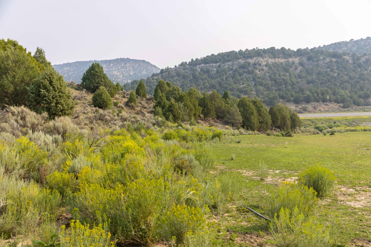
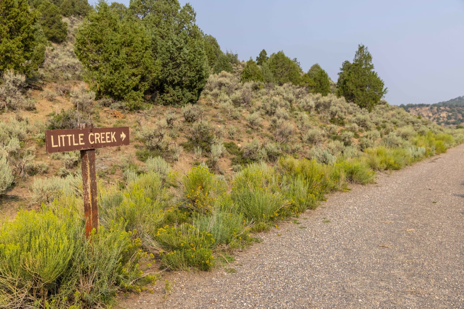
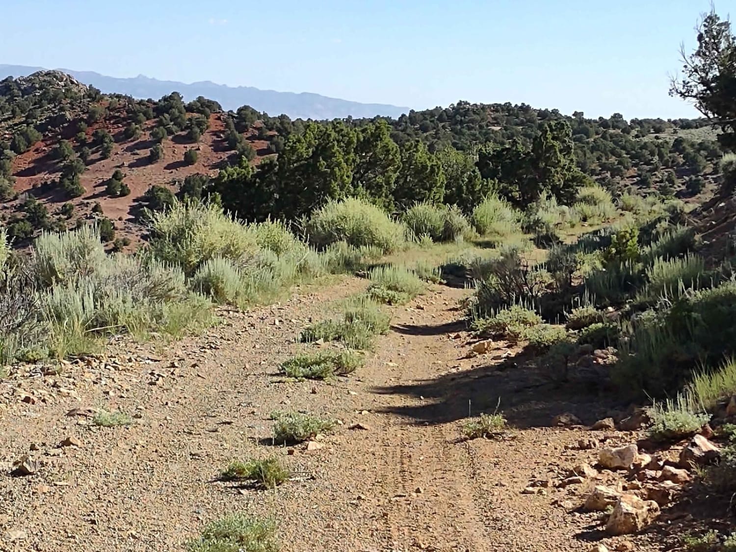
There is a beautiful green meadow on the North end of Little Creek draw. Access to the camping area is accessible to all vehicles from the South side of Interstate 70's frontage road. From the meadow, heading South, is a trail accessible for 50" and smaller UTV/ATV's. The trail runs along the valley floor and rises slowly towards the Meadow Gulch trail. The area is covered in sage brush, cedar tree's and other grasses. The area is frequented by big game hunters, those wishing to enjoy a ride in the mountains and many who enjoy camping in the wilderness. Several species of wildlife inhabit the area including deer, elk, coyote's and many other smaller varmints.
Photos of Little Creek
Difficulty
The trail can be slick when wet and subject to ruts and other obstacles after a heavy rain or Winter snow.
Status Reports
Popular Trails

Side Track to Red Rock - Single Track
Twin Creeks Road to Bubble Spring
County Road 1936
The onX Offroad Difference
onX Offroad combines trail photos, descriptions, difficulty ratings, width restrictions, seasonality, and more in a user-friendly interface. Available on all devices, with offline access and full compatibility with CarPlay and Android Auto. Discover what you’re missing today!
