Lowry Fork Fox Run
Total Miles
4.6
Technical Rating
Best Time
Spring, Summer, Fall
Trail Type
60" Trail
Accessible By
Trail Overview
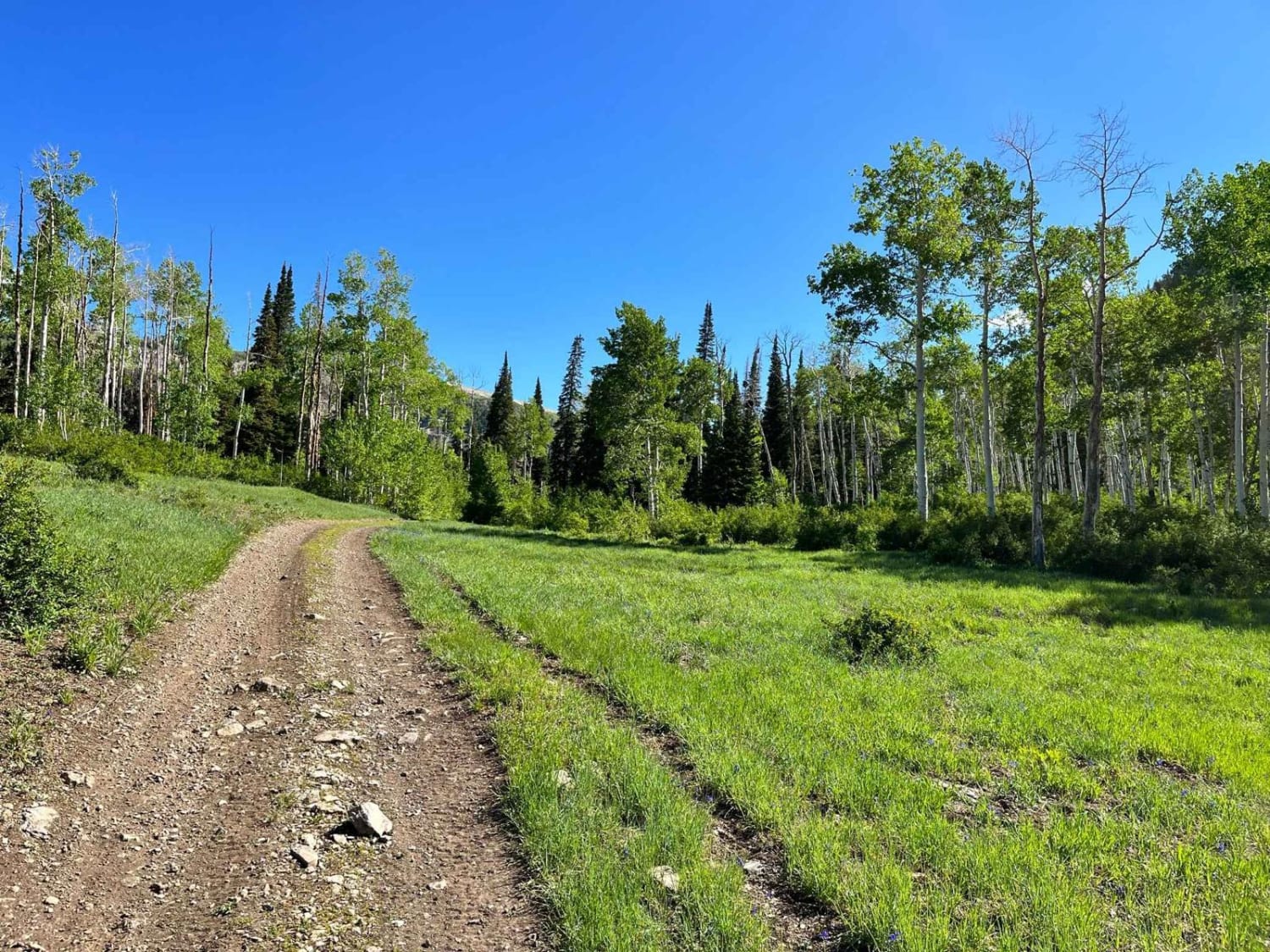
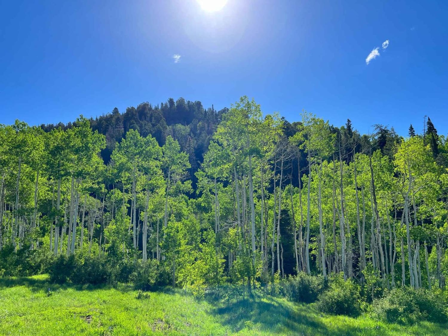
Technically this trail isn't a "hidden" gem because it's right there off Skyline Road. It might be overlooked because there are so many other nearby routes to choose from. It still is a gem in plain sight. From the summit, it plays peek-a-boo with a tranquil stream that trickles down the center of the valley. The views remain stunning for the entire duration of the trail and will change throughout the year. You enter a large wide meadow and travel slightly downhill until you see the Forest Service trail marker. Take the trail to the left, which is rated intermediate. The trail will narrow but is wide enough for full-size SxSs or Jeeps. You will travel down into a narrow canyon with wonderful scenery on both sides of the trail. You may encounter muddy sections, some more than a foot deep. The trail switches between downhill and uphill sections with a few open meadows that make for a great stopping point.
Photos of Lowry Fork Fox Run
Difficulty
This trail is mostly even and smooth. There are a few minor water crossings. Nothing is very steep or off-camber.
Status Reports
Lowry Fork Fox Run can be accessed by the following ride types:
- SxS (60")
- ATV (50")
- Dirt Bike
Lowry Fork Fox Run Map
Popular Trails
Bear Canyon (2179)

Erz Connector
Northeast Access Red Cliffs Rec Area
The onX Offroad Difference
onX Offroad combines trail photos, descriptions, difficulty ratings, width restrictions, seasonality, and more in a user-friendly interface. Available on all devices, with offline access and full compatibility with CarPlay and Android Auto. Discover what you’re missing today!
