Lytle Ranch Road East
Total Miles
4.8
Technical Rating
Best Time
Spring, Summer, Fall, Winter
Trail Type
Full-Width Road
Accessible By
Trail Overview
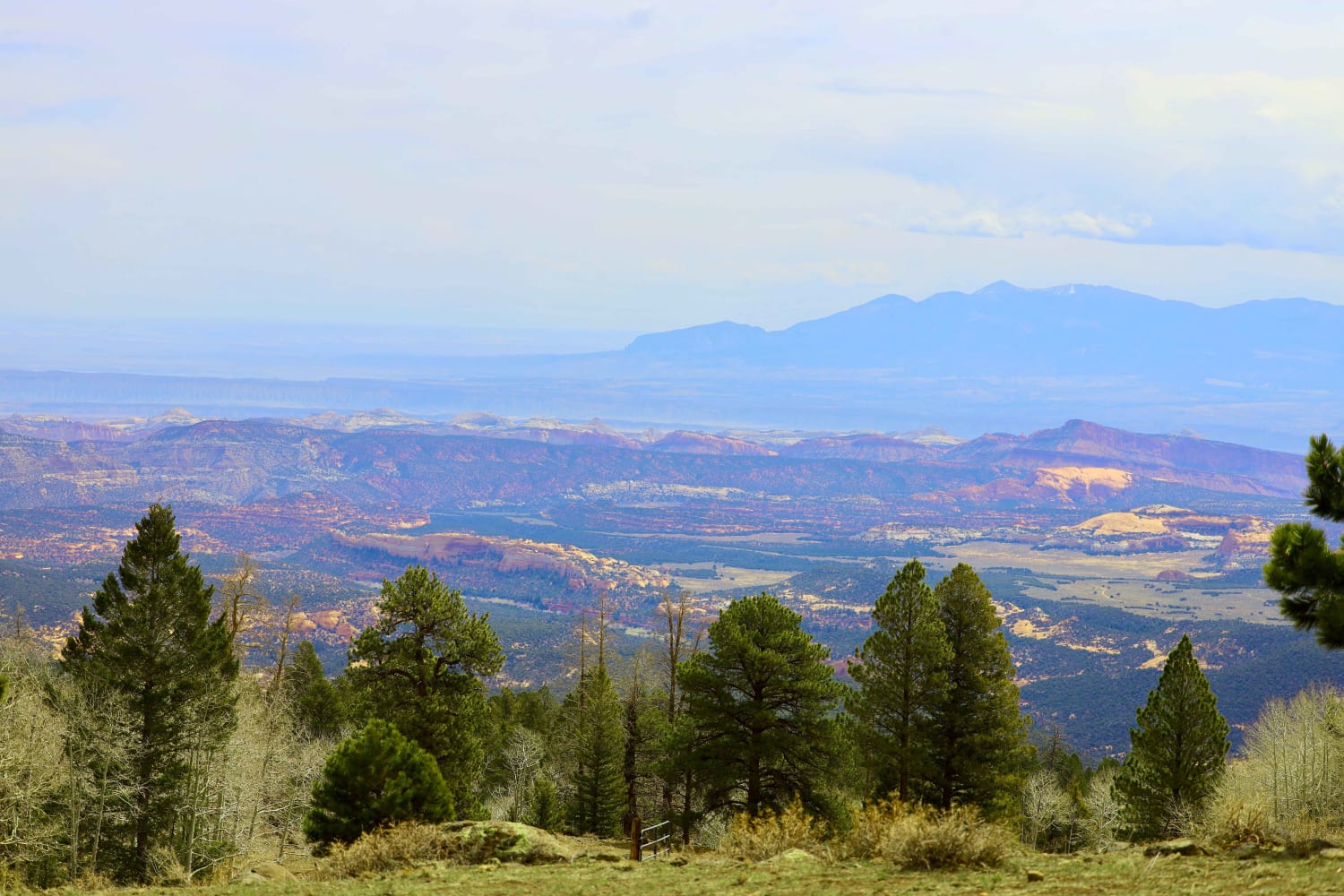
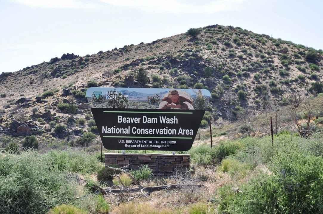
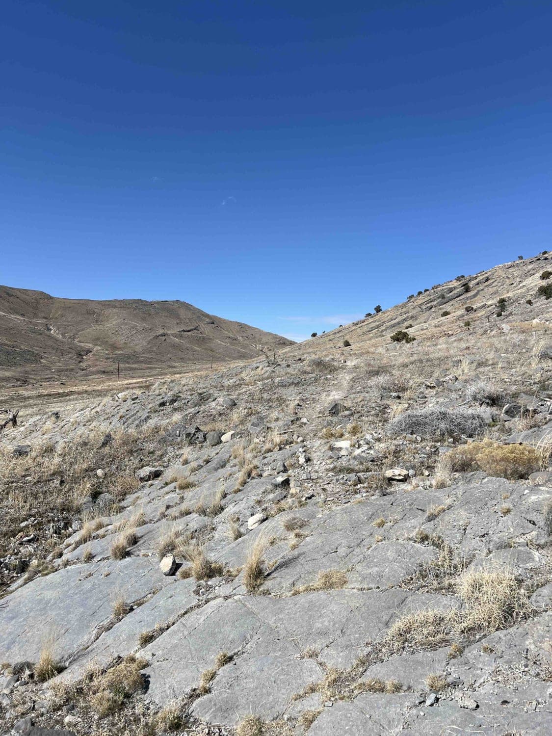
Lytle Ranch Road East is a 4.7-mile point-to-point access road leading into the Beaver Dam Wash National Conservation Area. The Beaver Dam Wash NCA is approximately 63,500 acres located in the southwestern corner of Washington County, Utah. The landscape provides an interesting ecological transition zone between the Mojave Desert, the Great Basin, and the Colorado Plateau. The NCA provides habitat for the desert tortoise, bighorn sheep, Joshua trees, and other threatened and sensitive species. Joshua trees and dense stands of black brush cover the slopes of the Beaver Dam Mountains, which rise along the eastern boundary of the NCA. Surface water flows in the upper reaches of Beaver Dam Wash, but rarely travels all the way through the NCA. The road is a well-maintained two-track rated 2 of 10. Cell phone coverage will be spotty and the nearest services are located in Beaver Dam.
Photos of Lytle Ranch Road East
Difficulty
This is a county dirt road with infrequent or light maintenance after rain or snow. High-clearance, light-duty 4WD may be required.
Lytle Ranch Road East can be accessed by the following ride types:
- High-Clearance 4x4
- SUV
- SxS (60")
- ATV (50")
- Dirt Bike
Lytle Ranch Road East Map
Popular Trails

Chokecherry Point

Weiss Highway
The onX Offroad Difference
onX Offroad combines trail photos, descriptions, difficulty ratings, width restrictions, seasonality, and more in a user-friendly interface. Available on all devices, with offline access and full compatibility with CarPlay and Android Auto. Discover what you’re missing today!


