Millers Flat Road
Total Miles
17.6
Technical Rating
Best Time
Spring, Summer
Trail Type
Full-Width Road
Accessible By
Trail Overview
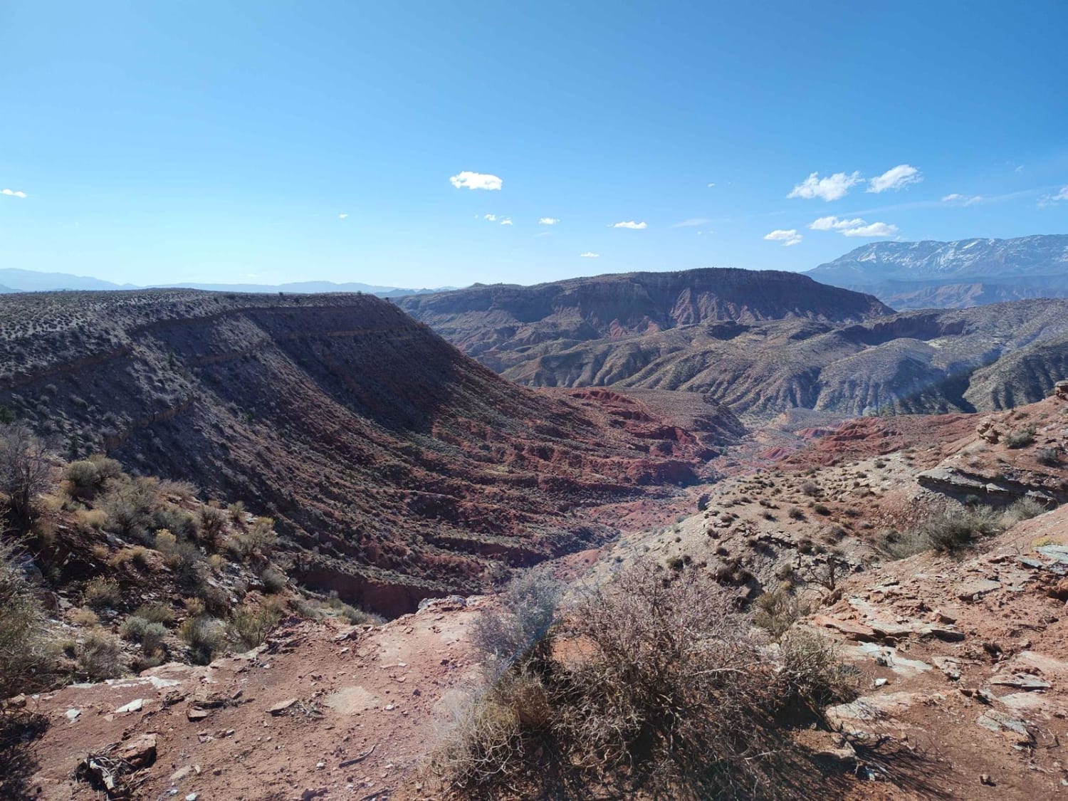
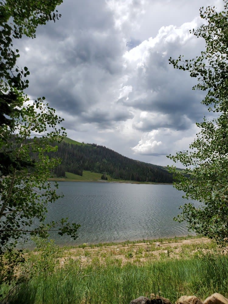
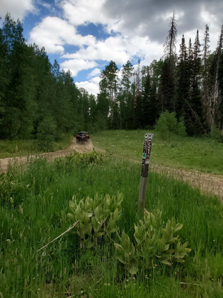
Millers Flat Road is part of the Arapeen OHV trail system in central Utah. The trail is well maintained with just enough technical driving to keep it exciting. The road drops down from the ridge and winds through mountain hills and the scenery is breathtaking as you drive past Miller, Cleveland, and Huntington reservoirs. There are many side trails that can be taken off the road, all marked with signs stating if the trails are for vehicles less than 50' wide or greater than 60" wide. You can make a loop by connecting to the Skyline Drive North trail, which offers incredible views from the ridge.
Photos of Millers Flat Road
Difficulty
Mud crossings of up to 10 inches if rain has been in the area recently. Narrow bridges and tight turns as well as some rocks and steep hills are random but most of the road is a dirt road wide enough for 2 vehicles.
Status Reports
Millers Flat Road can be accessed by the following ride types:
- High-Clearance 4x4
- SUV
- SxS (60")
- ATV (50")
- Dirt Bike
Millers Flat Road Map
Popular Trails

Upper Toquerville Twister

Kolob Terrace Road

Notom - Bullfrog Road South

Lost Creek Rex Reservoir- FS 40053
The onX Offroad Difference
onX Offroad combines trail photos, descriptions, difficulty ratings, width restrictions, seasonality, and more in a user-friendly interface. Available on all devices, with offline access and full compatibility with CarPlay and Android Auto. Discover what you’re missing today!

