Mona Reservoir Overlook
Total Miles
2.4
Technical Rating
Best Time
Spring, Summer, Fall
Trail Type
High-Clearance 4x4 Trail
Accessible By
Trail Overview
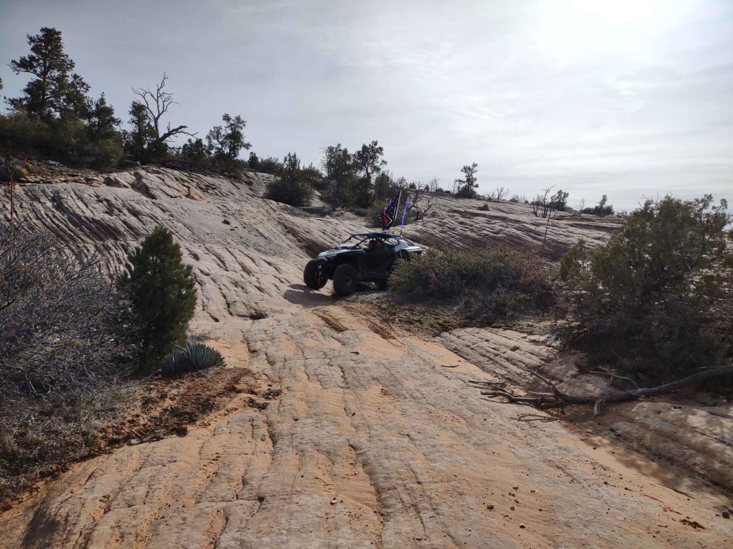
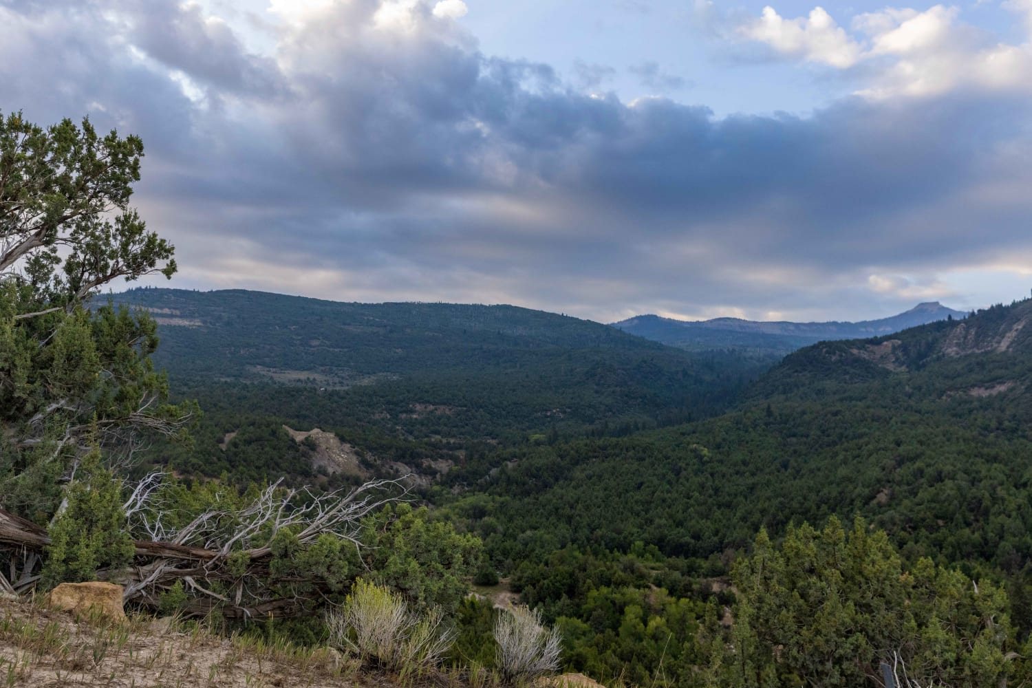
Short and steep out and back with stunning views. You will pass through multiple parcels of privately owned land, however, they are not posted. There is a gate at the Artistic Stone Masonry lot (evident by the pallets of decorative stone) that is closed, but again, no sign is posted. Just be respectful of the area and stay away from their inventory of decorative rock and close the gate each time that you pass through so that we can continue to have access. Starting at the gate you will pass along the bottom of the mountain before starting to climb a very steep climb to the top. There are not any technical obstacles but you will need to be in 4-Lo due to the grade. The terrain is dirt and loose fist size and smaller rocks. At the top of the route you will be afforded an amazing view of the Utah/Juab County valley and the Wasatch mountains on the east. As you take in this view, the real payoff is right behind you. A short, but steep, climb of approximately 300 yards will take you to the summit of the hill which previously blocked your view to the west. At the top you will be rewarded with an unobstructed view of the aforementioned valley along with the Goshen Valley as well, giving a full 360-degree view.
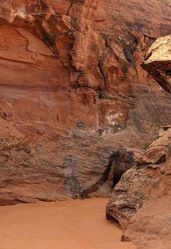
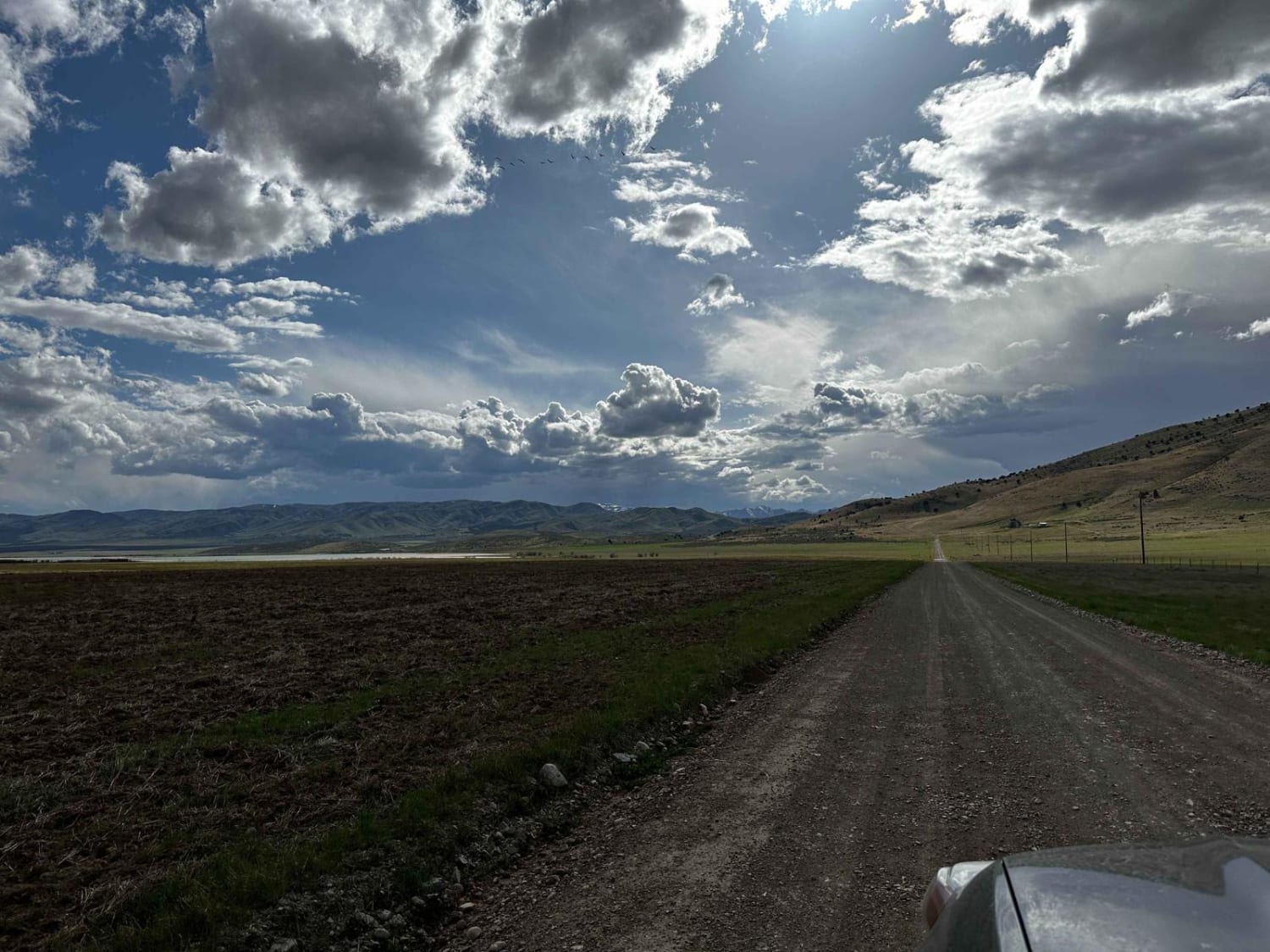
Photos of Mona Reservoir Overlook
Difficulty
Only technical due to the grade of incline.
Popular Trails

Leeds-Cottonwood Rock Crawling Playground

Frisco Peak Road

Mayfield-Gunnison Road

Nastiest Half
The onX Offroad Difference
onX Offroad combines trail photos, descriptions, difficulty ratings, width restrictions, seasonality, and more in a user-friendly interface. Available on all devices, with offline access and full compatibility with CarPlay and Android Auto. Discover what you’re missing today!


