Mount Dutton - Cottonwood (30125/30353)
Total Miles
39.1
Technical Rating
Best Time
Spring, Summer, Fall
Trail Type
Full-Width Road
Accessible By
Trail Overview
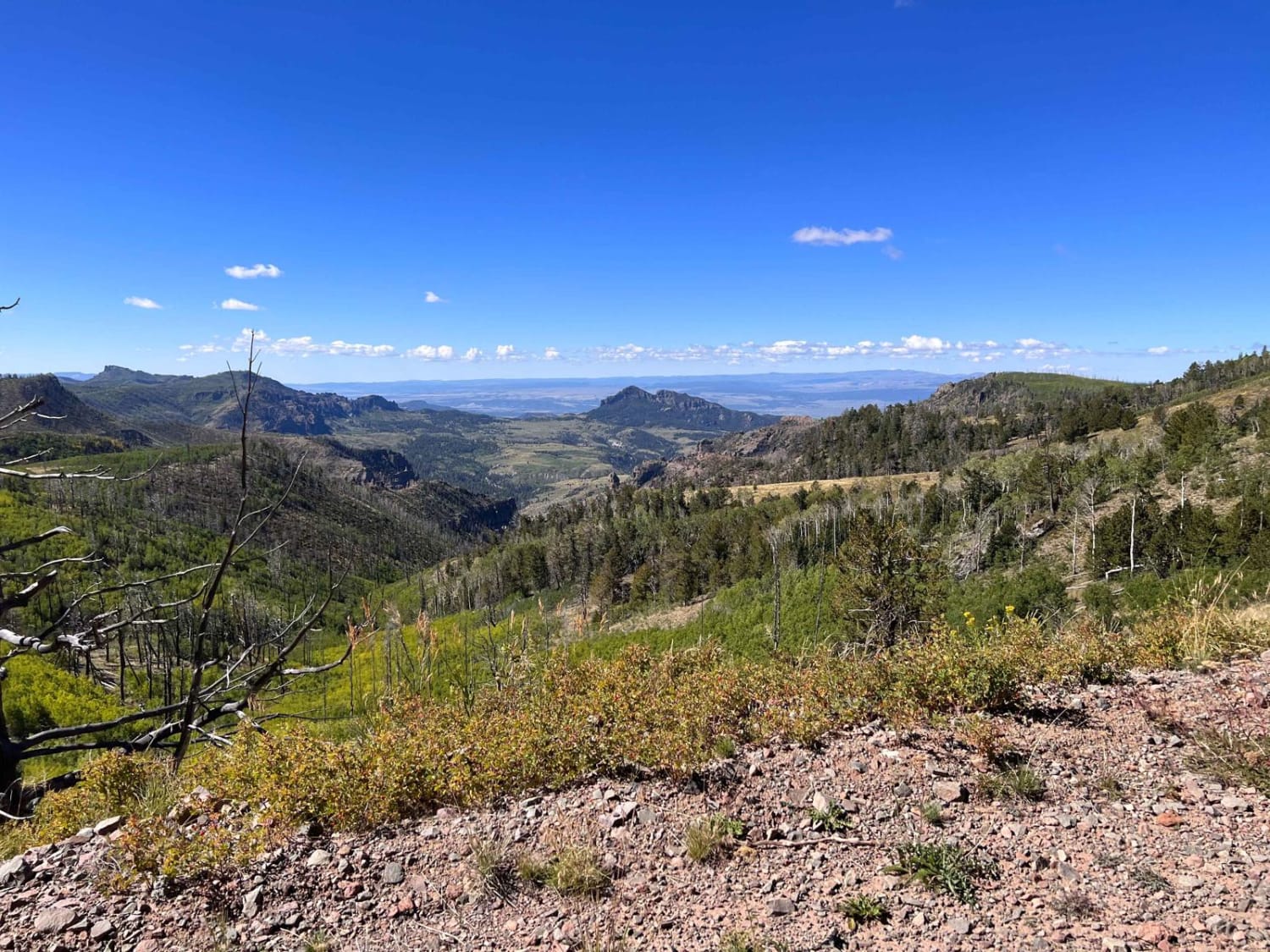
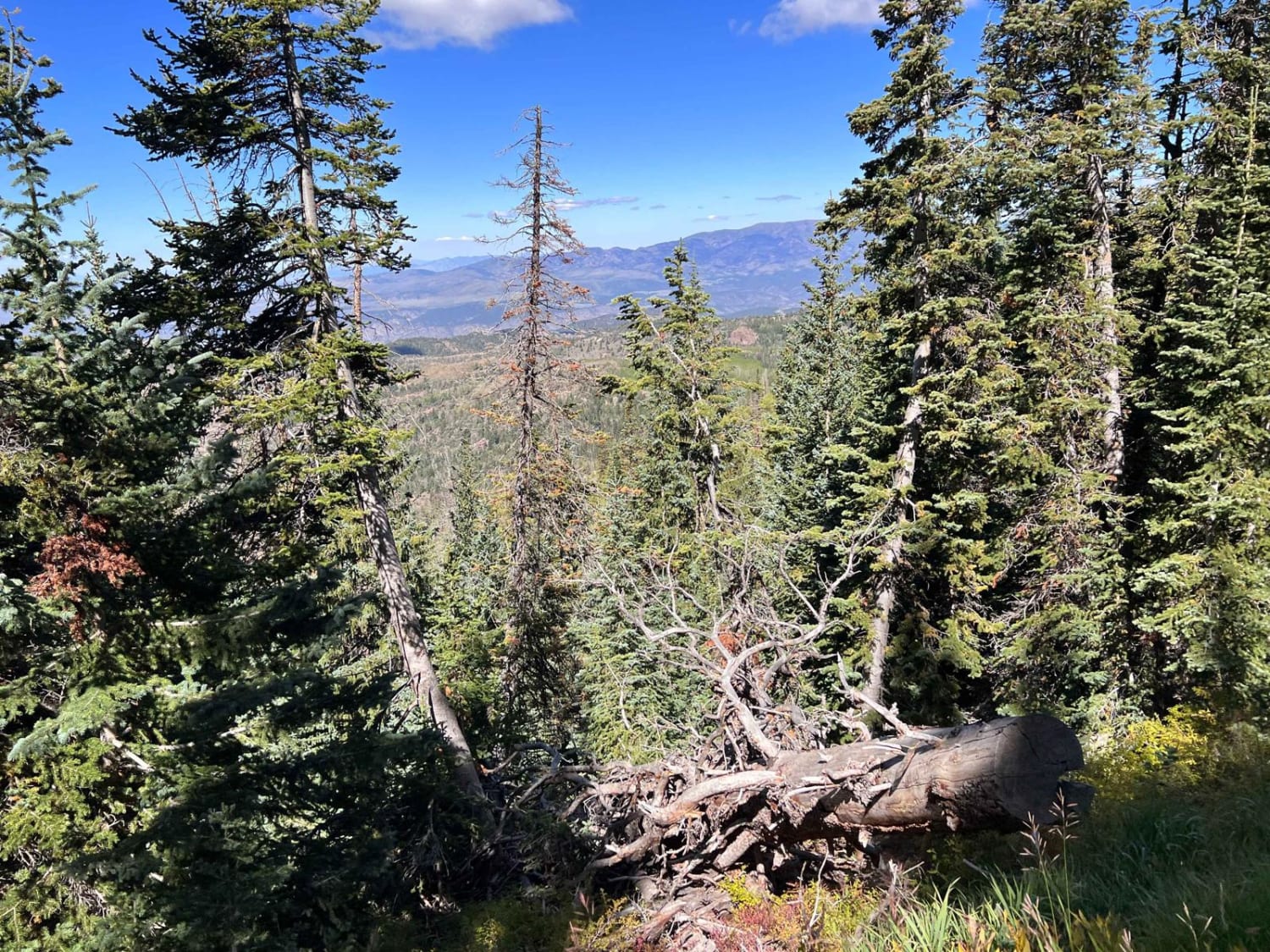
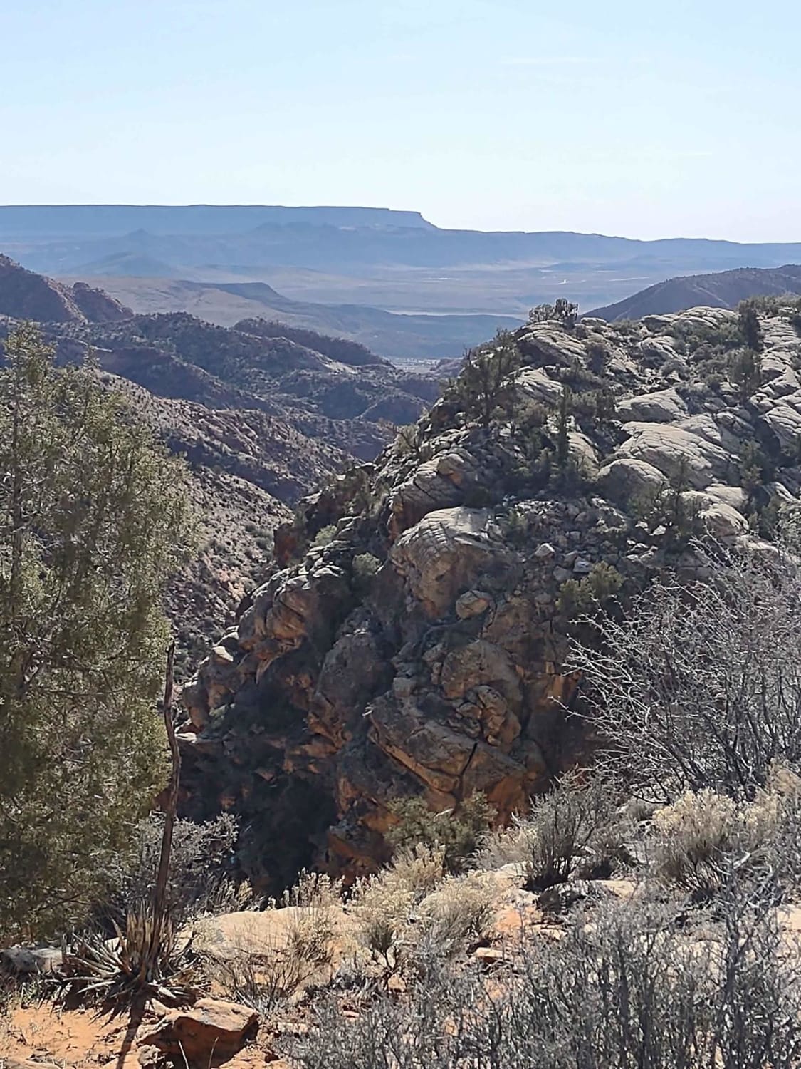
This is a fun day trip with beautiful views that will amaze you. This is an out-and-back route. If you start at the trailhead on John's Valley Road, north of Bryce Canyon Village, you will follow the trail up to the top of Dutton Mountain, a little over 11,000 feet, so be prepared for cooler weather. Winter also comes early and leaves late. There are many places to stop and take in the spectacular views, so be sure to allow yourself adequate time depending on how often you want to stop or take pictures. Also, be aware the area is often populated with cattle and wildlife. In the fall, the leaves are spectacular, so a well-planned trip has its rewards. During the spring and summer, there are many wildflowers to add color and enjoyment. The route is a wide single-lane Forest Service road. There is room to pass for the most part, but be cautious going around the curves, as some people drive too fast for the environment. Be prepared to meet traffic on the narrow and sharp curves. If you come in from the south and travel to Antimony, stop by the Antimony Mercantile for lunch, but be sure to leave room for the homemade pies. It makes the trip back across the mountain pleasant, and during the right time of year, a short view stop with a nap is an added benefit.
Photos of Mount Dutton - Cottonwood (30125/30353)
Difficulty
The road is steep in areas and there are numerous rocks on this infrequently maintained mountain road. There is a communications station at the top of Mount Dutton, accessed by 4WD pickups. There are steep drop-offs along the path, so those with height issues may have challenges. Most AWD vehicles with at least 7 inches of clearance should be able to make the trip. This is probably not a place to be during inclement weather for most.
Status Reports
Mount Dutton - Cottonwood (30125/30353) can be accessed by the following ride types:
- High-Clearance 4x4
- SUV
- SxS (60")
- ATV (50")
- Dirt Bike
Mount Dutton - Cottonwood (30125/30353) Map
Popular Trails
Northwest Sovereign
Leeds Cr-Cottonwood North Spur #30903

ATV2 / ATV4 to Cascade Springs Drive
Leeds Creek - Cottonwood Vista Loop
The onX Offroad Difference
onX Offroad combines trail photos, descriptions, difficulty ratings, width restrictions, seasonality, and more in a user-friendly interface. Available on all devices, with offline access and full compatibility with CarPlay and Android Auto. Discover what you’re missing today!
