Murdock Basin - FR 80137
Total Miles
8.4
Technical Rating
Best Time
Summer, Fall
Trail Type
Full-Width Road
Accessible By
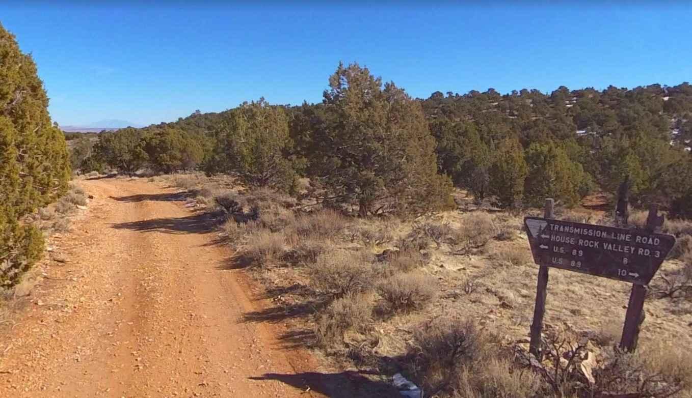
Trail Overview
Murdock Basin is a great trail that will get you deep into the forest close to several mountain lakes, in the shadows of Mount Cardwell (10,741 ft) & Murdock Mountain (11, 207 ft), access to numerous hiking and backpacking trails, and right to the edge of the High Uintas Wilderness.
Photos of Murdock Basin - FR 80137

Difficulty
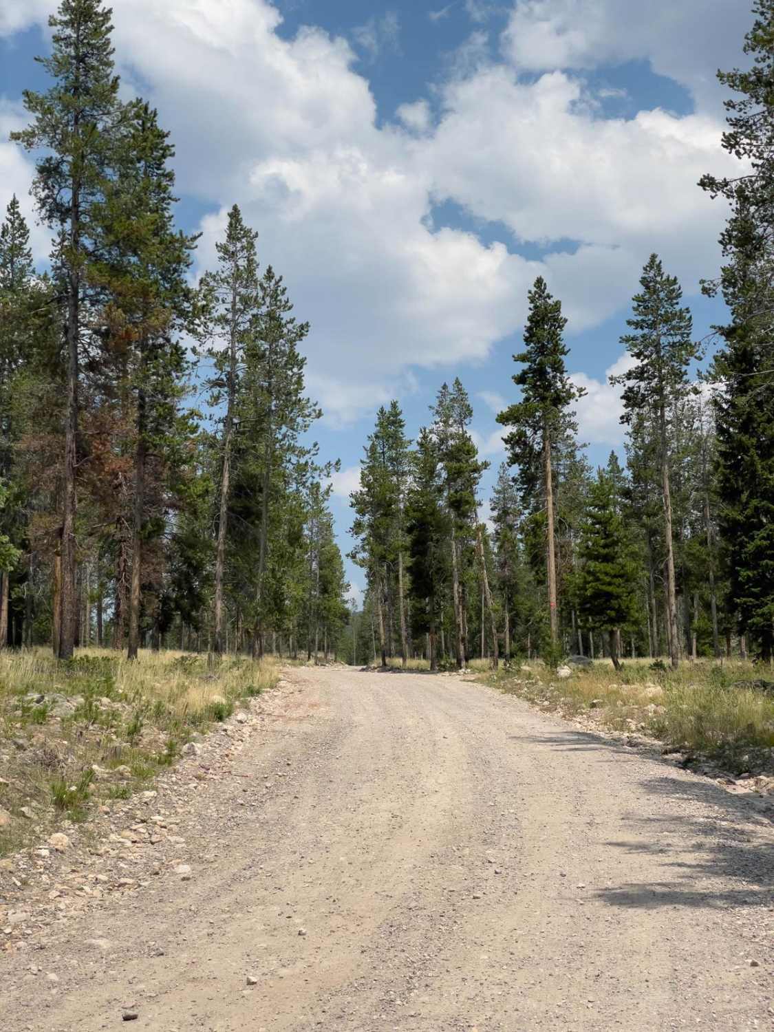
This forest road starts off easy, it is a well-maintained gravel road wide enough for two vehicles. At about a mile in, there is even a segment that is paved for a couple hundred feet and back to gravel. However, the road changes the further in you go. It becomes narrow and not maintained. There are potholes and some muddy sections. By the time you get to about 4 miles in, the trail is very rocky and narrow. There are large loose rocks, and water crossings up to a foot deep, and you should expect some mud holes. There are also several places with ledges about 16" high.
Status Reports
Murdock Basin - FR 80137 can be accessed by the following ride types:
- High-Clearance 4x4
- SUV
- SxS (60")
- ATV (50")
- Dirt Bike
Murdock Basin - FR 80137 Map
Popular Trails

Sand Surfer
BLM721-Kane County 4150
The onX Offroad Difference
onX Offroad combines trail photos, descriptions, difficulty ratings, width restrictions, seasonality, and more in a user-friendly interface. Available on all devices, with offline access and full compatibility with CarPlay and Android Auto. Discover what you’re missing today!