Poison Mountain
Total Miles
5.5
Technical Rating
Best Time
Summer, Spring, Fall
Trail Type
Full-Width Road
Accessible By
Trail Overview
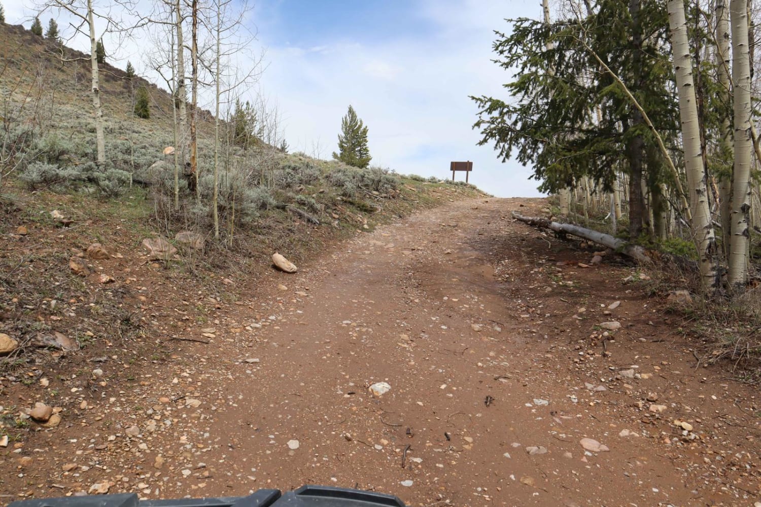
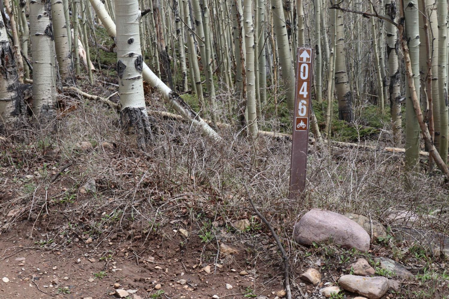
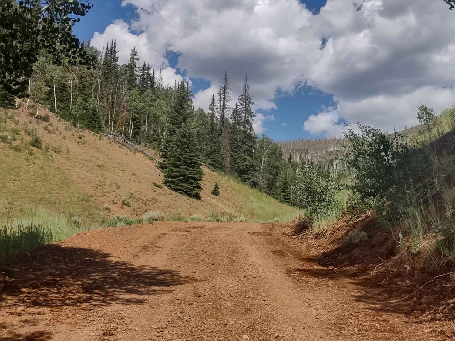
A good mix of valley vistas and alpine mountain travels, this road arcs along the Northern perimeter of Poison Mountain.The most unique characteristic of this road is the incredible diversity of scenery depending on what time of year you travel. In the Spring, the valley floors spreading out below this road burst to life with deep green hues of the grass and marshlands that you can overlook from the East end of this trail. In the summer, the aspen trees come alive with their flitting leaves that you will careen through on the Northeast section of this trail. In the fall, those same aspens transform into beautiful reds, yellows, and orange colors. There are also plenty of opportunities to spot deer, elk, antelope, bighorn sheep and moose along the way.
Photos of Poison Mountain
Difficulty
Although this road is moderately maintained, there are several mud holes, ruts, trenches and off-camber side-hills that can be up to a foot deep in some places. Most of the trail is dirt and clay, so depending on the recency of the last rain or snow storm, the trail can easily and quickly become quite sloppy and goopy.
Status Reports
Poison Mountain can be accessed by the following ride types:
- High-Clearance 4x4
- SUV
- SxS (60")
- ATV (50")
- Dirt Bike
Poison Mountain Map
Popular Trails
Left Fork Rhodes Canyon - FS 70151
Cricket Mountain OHV Route 4

Centerville Firebreak Road
Jim Reed to "The Face"
The onX Offroad Difference
onX Offroad combines trail photos, descriptions, difficulty ratings, width restrictions, seasonality, and more in a user-friendly interface. Available on all devices, with offline access and full compatibility with CarPlay and Android Auto. Discover what you’re missing today!
