Porcupine Rim
Total Miles
17.9
Technical Rating
Best Time
Spring, Summer, Fall, Winter
Trail Type
High-Clearance 4x4 Trail
Accessible By
Trail Overview
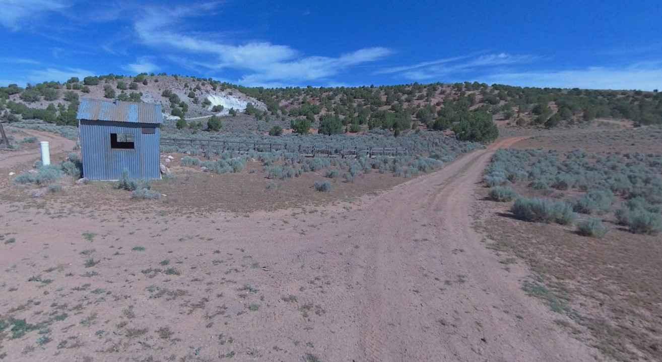
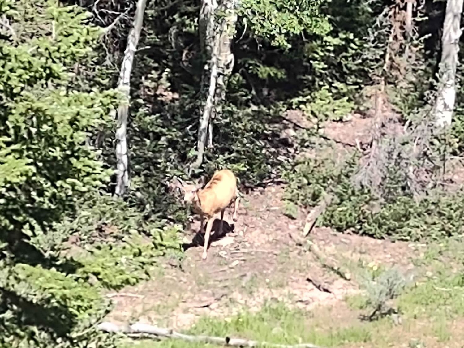
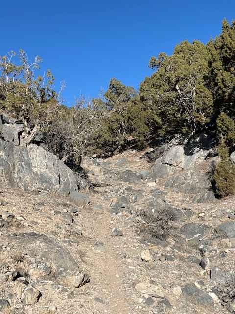
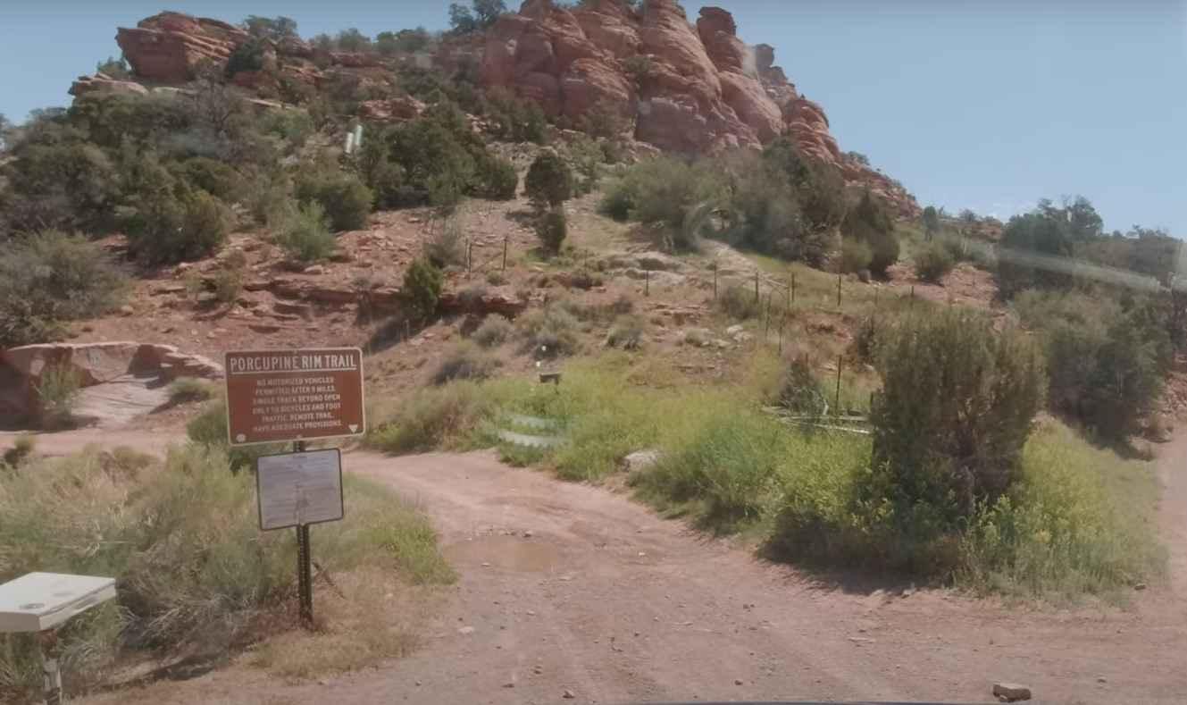
Porcupine Rim is a 21.4-mile loop trail rated 5 of 10 located in Grand County, Utah. Porcupine Rim trail is located in the Sand Flats Recreation Area which is fee entry area (see image for fee schedule). A National Parks Access Pass is also valid for entry. The Porcupine Rim trail starts off the graded Sand Flats Road about 9.5 miles from Moab before finally dropping to a ledge above Negro Bill Canyon. This gem in the Sand Flats area might not be as popular as others but running it is well worth the time and effort, if only for the scenery alone. The vistas from the top of the rim are breathtaking and we'll guarantee you'll be glad you made the trip. The route mostly traces a narrow terrace on the upper slope of the canyon and drops down to a small drainage before starting the rocky ascent to the top of the rim. Much of the terrain is bumpy and this will test your endurance. However, other than the rocky outcrops and ledges that you have to look out for, this trail has no major challenges. This area has featured in several movies and TV shows over the years, proving just how magnificent the scenery is. The Porcupine Rim trail offers incredible views into Negro Bill and Rill canyons as well as panoramic views of the La Sal Mountains. Castle Valley stretches out 1500ft below and some of the prominent buttes such as Perriott Mesa, Priest & Nuns, and Round Mountain. The trail surface consists of sandy dirt, loose sand, and slickrock. However, you'll mostly have to deal with bedrock especially in protruding ledges and knobs as you head to the rim. Since the area has a high elevation, there's often residual mud and snow in the spring. Cell phone service is intermittent and the nearest services are in Moab.
Photos of Porcupine Rim
Difficulty
Trail surfaces are rutted, rocky and sandy with steps not exceeding 24", with considerable slickrock surfaces. Water not exceeding 12" with some mud possible. Good ground clearance and driving skills are needed. 4WD, tall tires (33" plus) and traction adding devices (locker, limited slip) are required. Above average driving skills are desirable. A winch would be a plus. Enhanced suspension travel and good ground clearance are also required.
Status Reports
Porcupine Rim can be accessed by the following ride types:
- High-Clearance 4x4
- SxS (60")
- ATV (50")
- Dirt Bike
Porcupine Rim Map
Popular Trails

North Spur Sand Well Loop

South Fork Greenwich Creek

Rib Cage Canyon Go-Around
The onX Offroad Difference
onX Offroad combines trail photos, descriptions, difficulty ratings, width restrictions, seasonality, and more in a user-friendly interface. Available on all devices, with offline access and full compatibility with CarPlay and Android Auto. Discover what you’re missing today!


