Purple Hills Road
Total Miles
3.3
Technical Rating
Best Time
Spring, Summer, Fall, Winter
Trail Type
Full-Width Road
Accessible By
Trail Overview
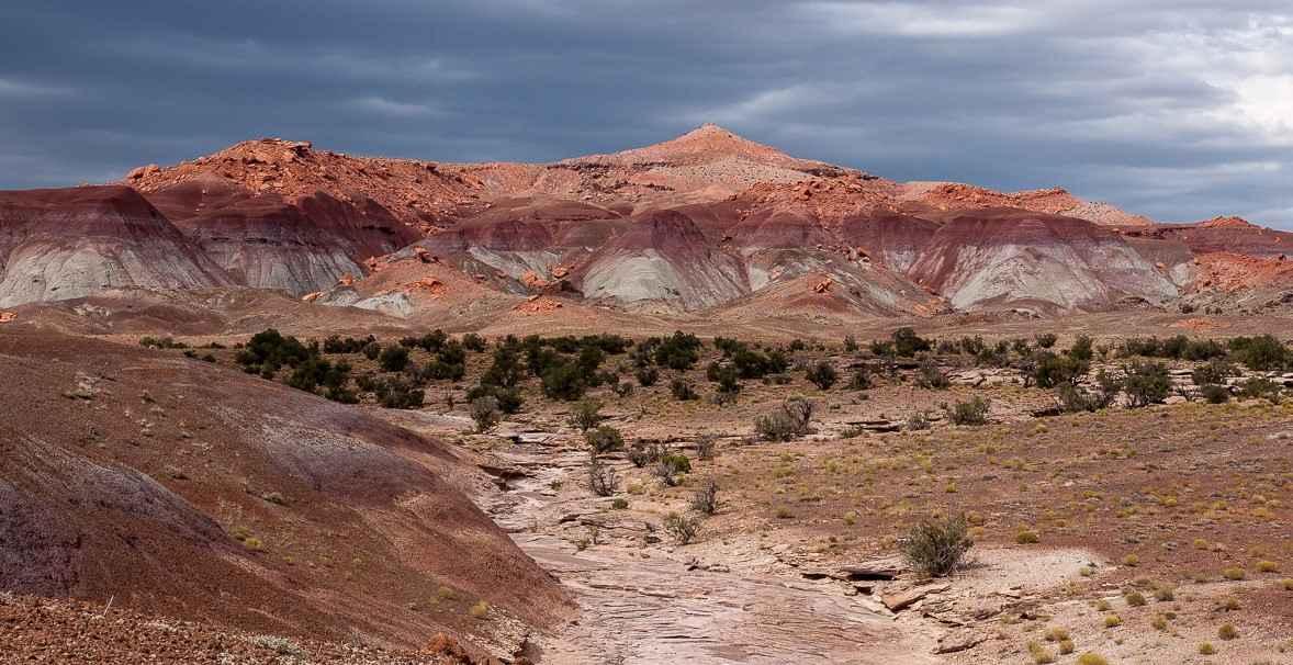
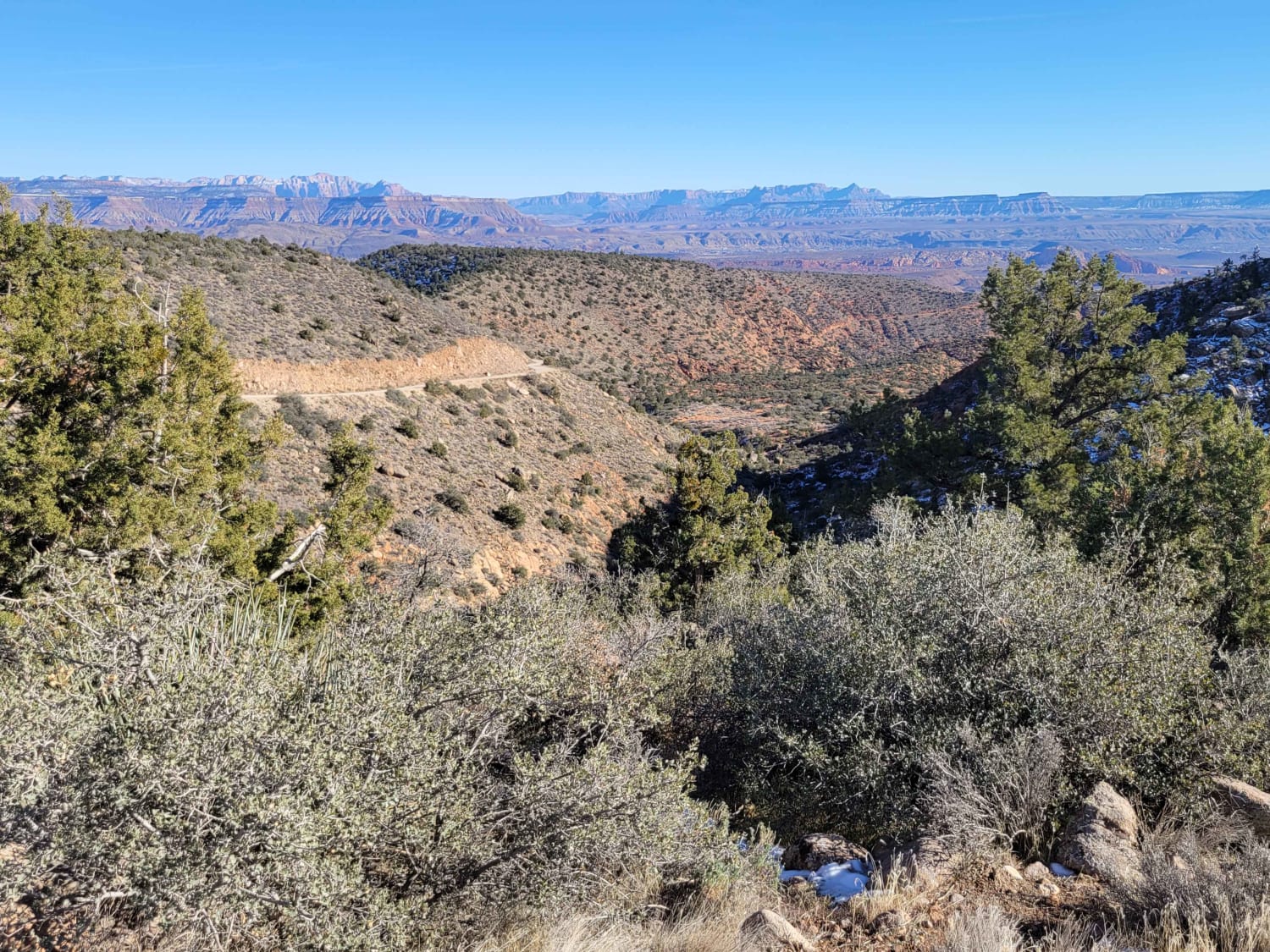
Purple Hills Road is a 6.6-mile out-and-back trail rated 3 of 10 located in Garfield County, Utah. The Purple Hills Road is a side trail off the Moody Hills Road which leads to the center of the named area "Purple Hills." The Purple Hills are a remote area within the Glen Canyon National Recreational Area. As the name says, it is a colorful district. This is one of the most remote areas within Glen Canyon NRA; there is only one way in and one way out. A hike to the top of any of these ridges will offer a unique view that most will never enjoy. Do not expect to have cell phone service in this area. The closest town is Boulder, which has some lodging and restaurants, but for more amenities and supplies, head to Escalante to the west, Torrey to the north, or Ticaboo to the east.
Photos of Purple Hills Road
Difficulty
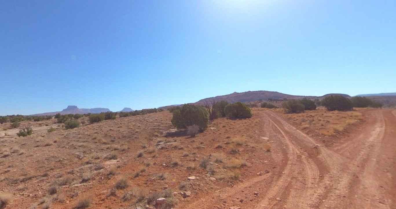
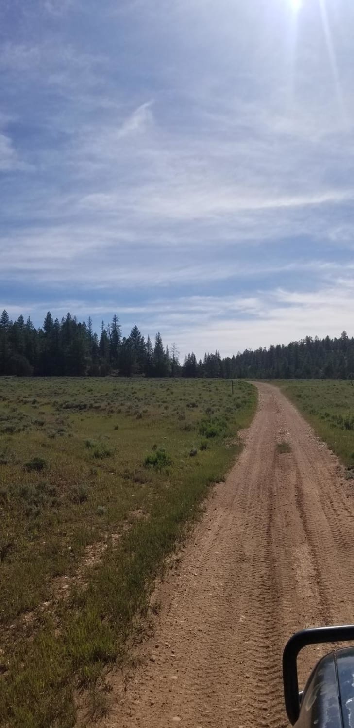
The trail consists of loose rocks, dirt, and sand with some slick rock surfaces and mud holes possible. No steps are higher than 12 inches. 4WD may be required, and aggressive tires are a plus.
Status Reports
Purple Hills Road can be accessed by the following ride types:
- High-Clearance 4x4
- SUV
- SxS (60")
- ATV (50")
- Dirt Bike
Purple Hills Road Map
Popular Trails

The Great Western Trail North
Minor Overlook
Cottonwood Creek
The onX Offroad Difference
onX Offroad combines trail photos, descriptions, difficulty ratings, width restrictions, seasonality, and more in a user-friendly interface. Available on all devices, with offline access and full compatibility with CarPlay and Android Auto. Discover what you’re missing today!
