Red Cliffs Rec Area to Virgin River
Total Miles
4.7
Technical Rating
Best Time
Spring, Summer, Fall, Winter
Trail Type
High-Clearance 4x4 Trail
Accessible By
Trail Overview
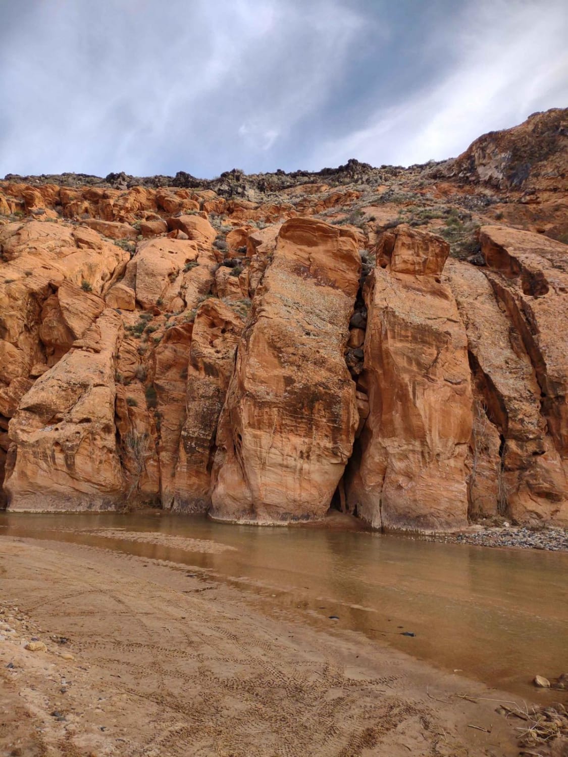
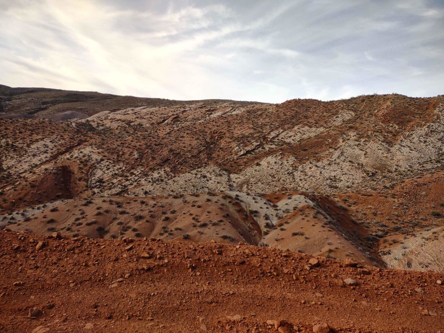
Red Cliffs Recreation Area near Leeds, Utah, is an SXS and hiking mecca. This track, which starts out as pavement but turns to sand just a half mile down the trail, takes you to clear down through the Recreation Area to the Virgin River. Along the trail, you can stop and hike to the Old Toquerville Mine, or you can hike to Sand Cove, to Sandstone Mountain, or to the natural arch. Our total time includes riding in and around the river, but none of the hikes. You can cross the river and play around on the trails over there, too, as long as the river isn't running too deep and too fast. We rode the trail in early February, and we crossed the river with no problem. Bring your fishing pole and your fishing license, bring a picnic lunch, bring your hiking poles, and bring your camera. The red rocks and cliffs, the river, and the trails are all spectacular. Be sure to watch for other SXSs and vehicles, especially at intersections of the trails. The trails in places are narrow, with room for only one vehicle. And be sure to watch for desert tortoises on the trails. The tortoises are native to this area. Starting Feb 2023, Utah began enforcement of its new law, which requires an online education course for all off-roaders. The free course is available online. Google "Utah OHV Education Course," and the free test will pop up. It's an easy test that will only take 15-30 minutes, and it's required for all off-roaders, Jeeps, SXSs, dirt bikes, and ATVs. Kids under the age of 18 will have to take the Youth Education Test at the same site. After completing the test, print out the certificate to carry with you which shows you completed the course. We have taken it, and it's really no big deal. Good reminders about trail etiquette and trail preservation.
Photos of Red Cliffs Rec Area to Virgin River
Difficulty
During the spring runoff, the river will be deep and fast. Other trails near the river will probably also be under water. During the spring, winter, and fall, the trail is easy. Be sure to watch for other vehicles coming up the trail at you, or crossing your trail at intersections.
Status Reports
Red Cliffs Rec Area to Virgin River can be accessed by the following ride types:
- High-Clearance 4x4
- SxS (60")
- ATV (50")
- Dirt Bike
Red Cliffs Rec Area to Virgin River Map
Popular Trails
Marysvale to Piute Reservoir Dam
Water Lily Mine
House Rock Valley Road North (Utah)
The onX Offroad Difference
onX Offroad combines trail photos, descriptions, difficulty ratings, width restrictions, seasonality, and more in a user-friendly interface. Available on all devices, with offline access and full compatibility with CarPlay and Android Auto. Discover what you’re missing today!
