Reds Canyon
Total Miles
44.0
Technical Rating
Best Time
Spring, Summer, Fall
Trail Type
Full-Width Road
Accessible By
Trail Overview
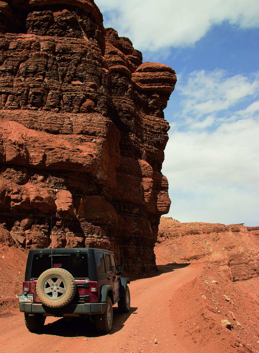
If you are trailing an ATV or UTV, you can make it to the left turn at McKay Flat. The roads are wide enough to park along the edge. On this route, you'll see Hondoo Arch, Tomsich Mine, Lucky Strike Ghost Town, and more. Take an optional side trip on the very scenic Hidden Splendor Road or explore the many side roads.
Photos of Reds Canyon
Difficulty
Easy. The main roads are mostly wide and smooth and suitable for passenger cars when dry. However, about half of Reds Canyon follows a sandy wash and canyon bottom, where you may sometimes need 4-wheel drive. Storms and flash floods can make conditions more difficult. Go with another vehicle if possible.
History
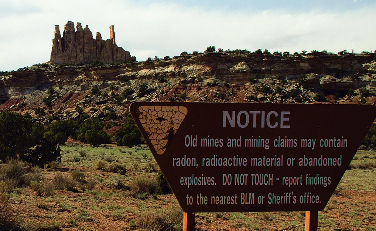
In 1949, The Atomic Energy Commission started a program to encourage prospectors to search for uranium. Mines and shack towns popped up all over this area. Entrances to most mines have been boarded up for safety reasons. As of this writing, there was still something to see at the Tomsich Mine and the Lucky Strike Mine. Read kiosks near both locations for more info.
Status Reports
Reds Canyon can be accessed by the following ride types:
- High-Clearance 4x4
- SUV
- SxS (60")
- ATV (50")
- Dirt Bike
Reds Canyon Map
Popular Trails
Rock Fight
Davis Hollow Overlook - FS 42115
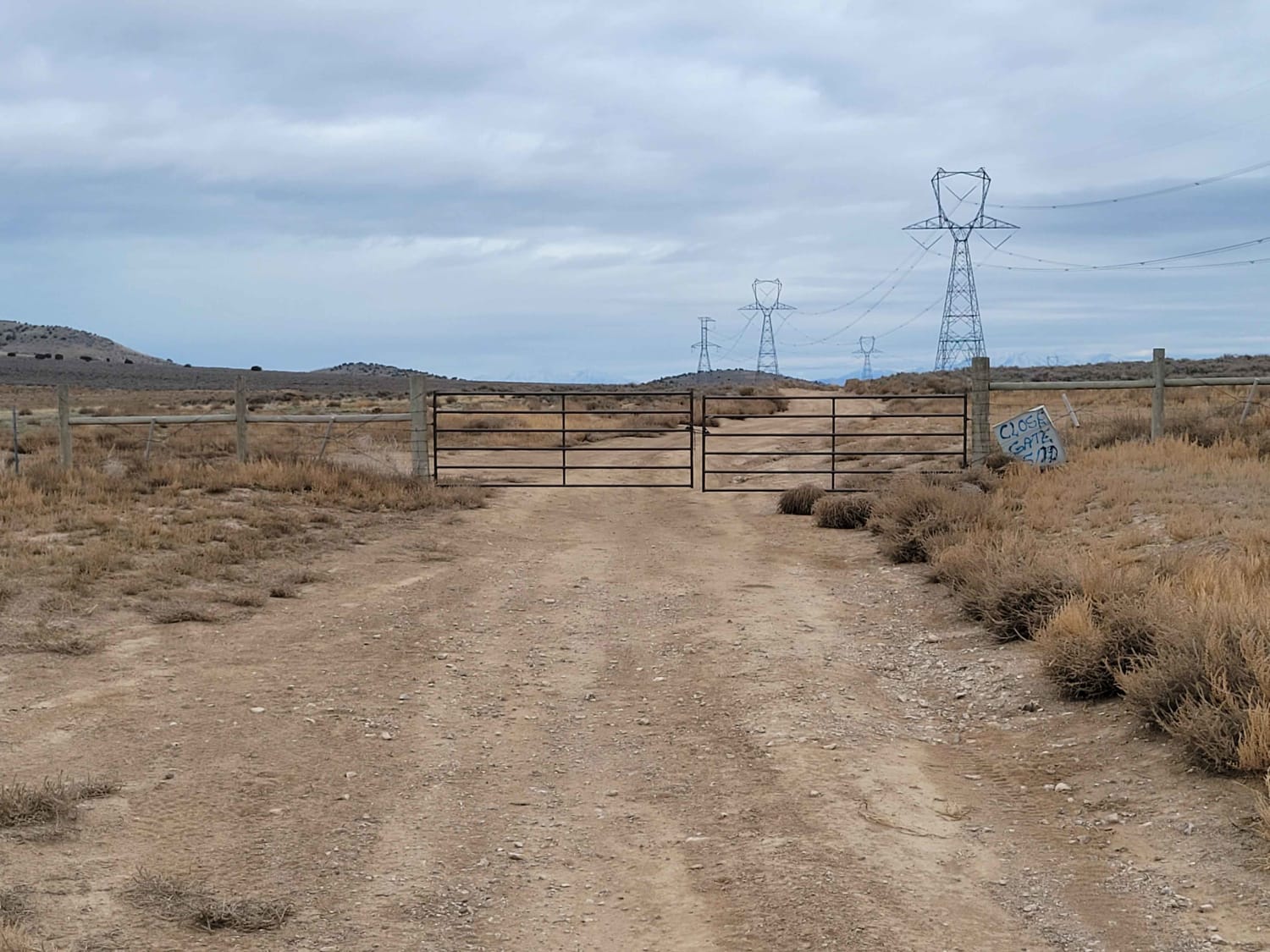
Twelve Mile Pass Road
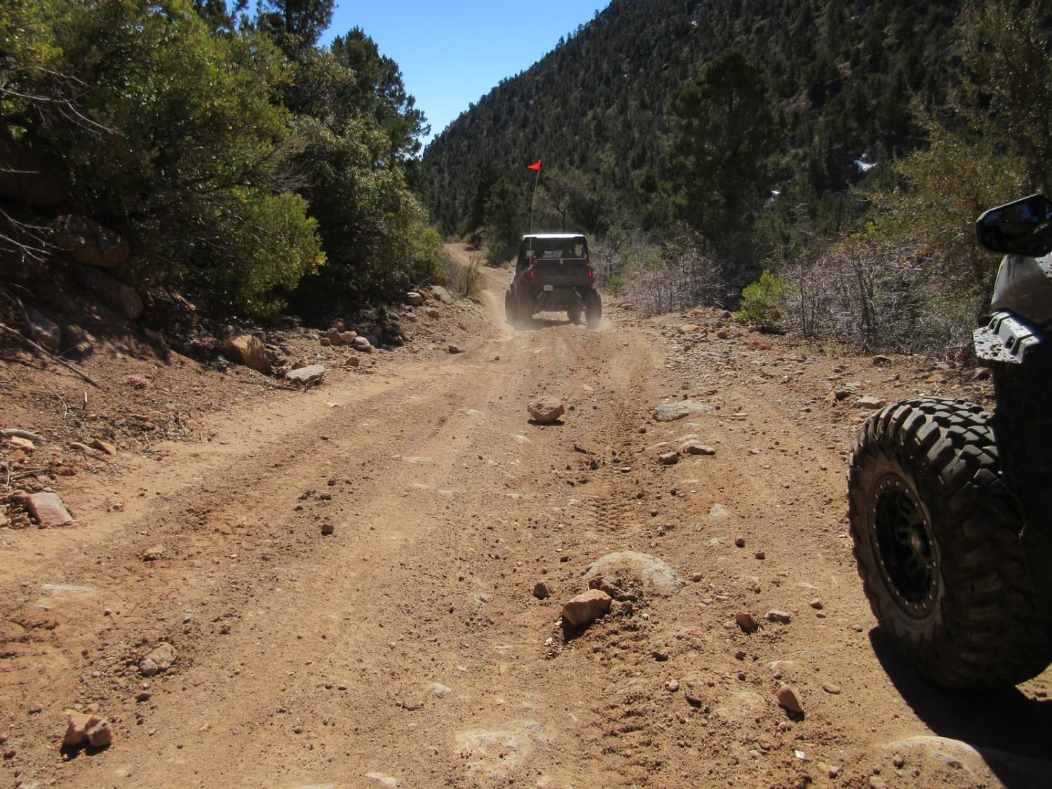
Cottonwood East
The onX Offroad Difference
onX Offroad combines trail photos, descriptions, difficulty ratings, width restrictions, seasonality, and more in a user-friendly interface. Available on all devices, with offline access and full compatibility with CarPlay and Android Auto. Discover what you’re missing today!
