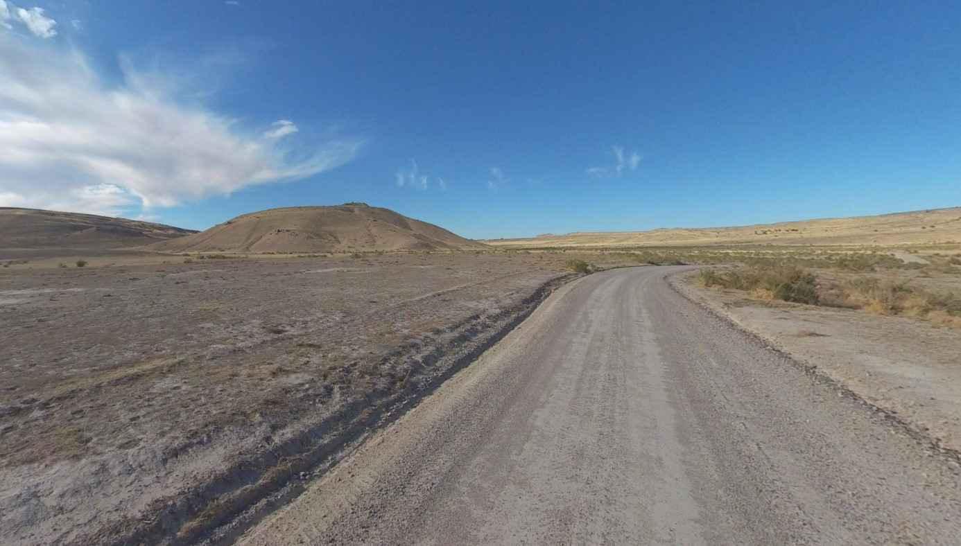
Riverbottom Road-JC8122802
Total Miles
12.1
Technical Rating
Best Time
Spring, Summer, Fall, Winter
Trail Type
Full-Width Road
Accessible By
Trail Overview
Riverbottom Road-JC8122802 is a 12.1-mile point-to-point trail rated 1 of 10 in Juab County. This is a county-maintained road that can generally be traveled by any 2 or 4WD vehicle with sufficient ground clearance. The road extends from Weiss Highway in the south to the county line where the road becomes Tooele County Old River Bed Road. Running along the eastern side of the Keg Mountains, the road provides access to BLM grazing lands as well as several land cooperatives along the east side of the road. Keg Mountain at nearly 7,300 feet of elevation is a popular destination for hikers in the spring and fall. Most avoid the area in the summer due to the high temperatures of the Utah basin and the Sevier Desert. Multiple trails extend to the west from Riverbottom Road which leads to various approaches to Keg Mountain. This is a very remote and desolate area; once off the main trail, it is unlikely that travelers will encounter anything other than wildlife in this area. The nearest services are located in Delta to the south and Eagle Mountain to the east.
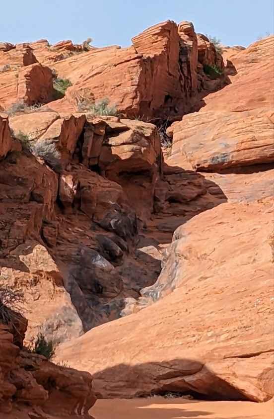
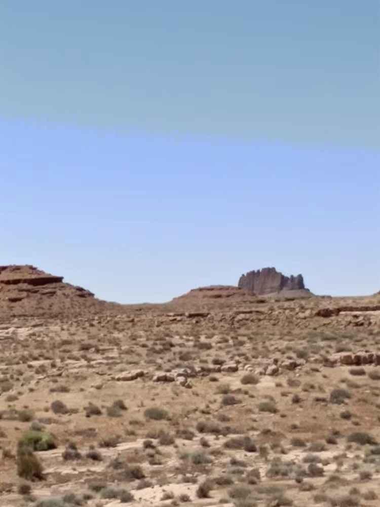
Photos of Riverbottom Road-JC8122802

Difficulty
This is a county dirt road with infrequent or light maintenance after rain or snow. High-clearance, light-duty 4WD may be required.
Status Reports
Riverbottom Road-JC8122802 can be accessed by the following ride types:
- High-Clearance 4x4
- SUV
- SxS (60")
- ATV (50")
- Dirt Bike
Riverbottom Road-JC8122802 Map
Popular Trails

BLM B0057 - Lime Butte Ruins
Nastier Half

Mexican Hat Ranch Road
The onX Offroad Difference
onX Offroad combines trail photos, descriptions, difficulty ratings, width restrictions, seasonality, and more in a user-friendly interface. Available on all devices, with offline access and full compatibility with CarPlay and Android Auto. Discover what you’re missing today!